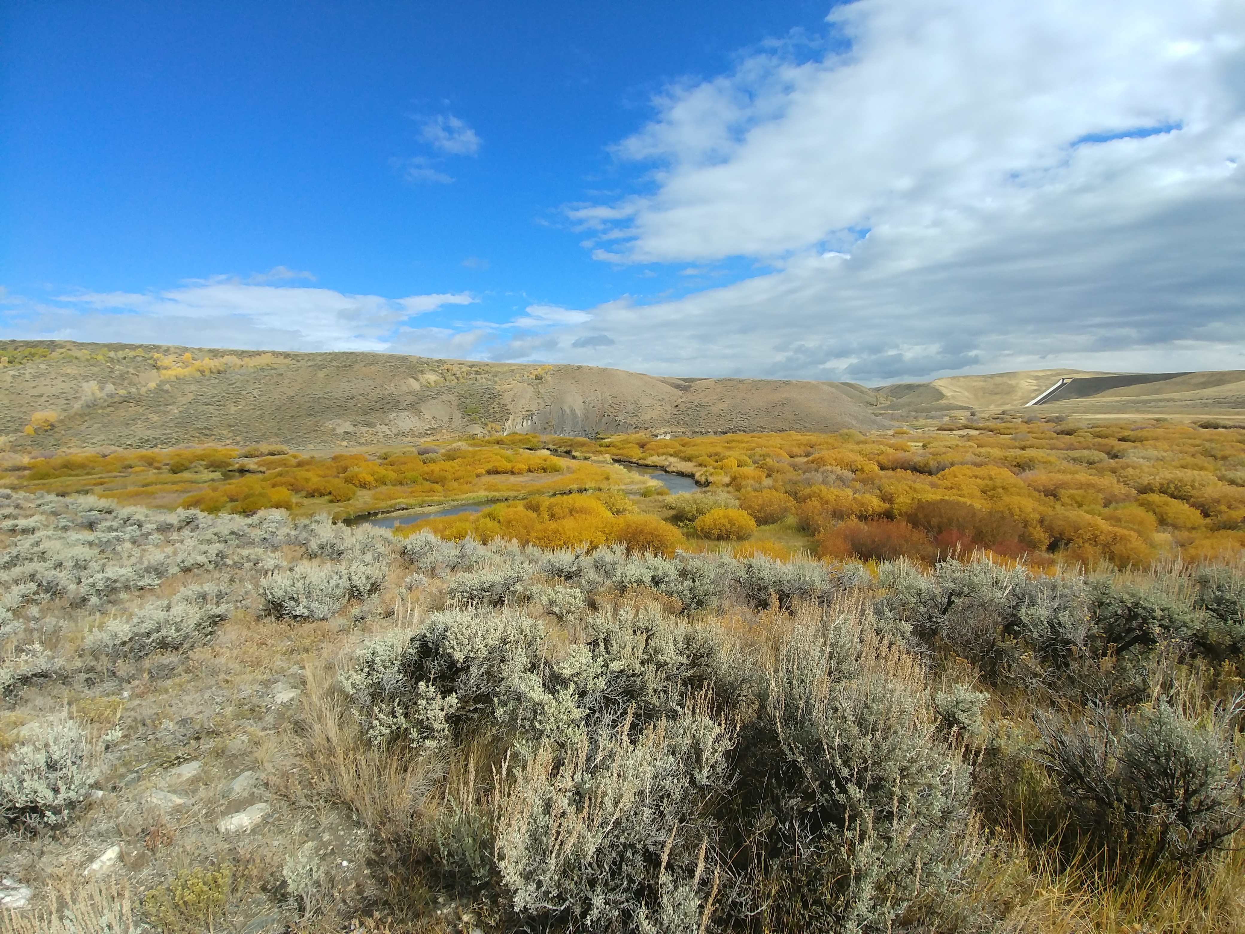
Along with our normal trapping project this month, I had the opportunity to assist with a multitude of different habitat assessment surveys. The assessment, inventory, and monitoring (AIM) strategy is used to assess terrestrial and aquatic habitats across our field office. This system is used to provide standardized information about the habitats in our field office and help to inform better management decisions. In terrestrial AIM you have three, 25m long transects and you start by categorizing the plants that occur along each transect at equidistance points. Gap is also measured along transects, which is a way to measure how much of each transect is not covered by living plant matter. A soil pit is dug and the different layers of soil are analyzed for their composition. I assisted with AIM surveys in sage brush steppe habitat north of the Ferris Mountains and also within an aspen stand near the Baggs area of our field office.
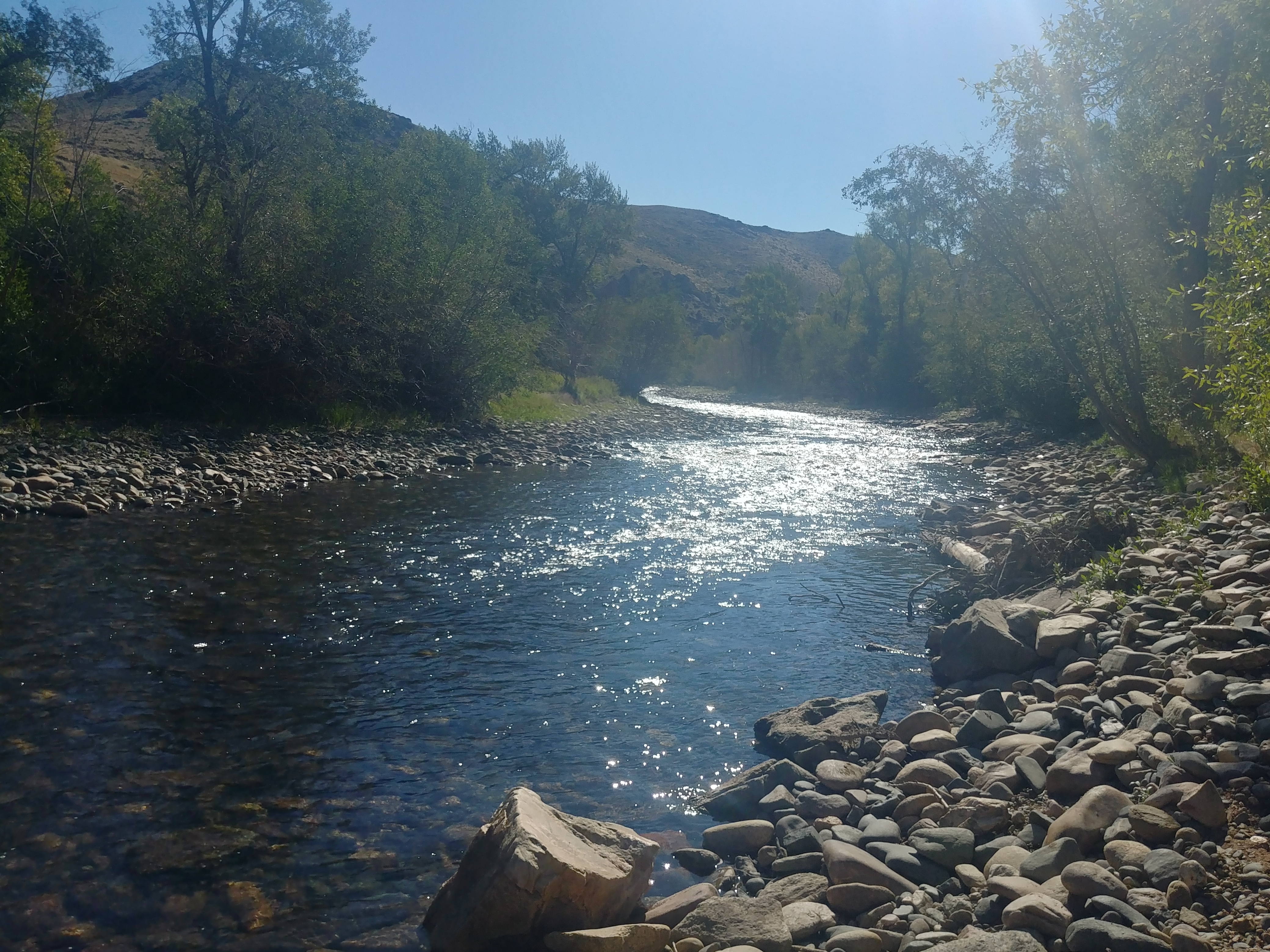
Aquatic AIM differs from terrestrial AIM in many ways however the main goal of providing standardized information for habitats across the field office remains the same. In aquatic AIM, transect are set up along a stream bed and measurements are taken at standardized points. Measurements are used to determine stream characteristics and include bankfull, scour, thalweg, pH, temperature, channel widths, floodplain connectivity, canopy cover, and slope to name a few.
I also helped with Multiple Indicator Monitoring (MIM) and surface compliance monitoring. MIM is a monitoring strategy that combines long term and short term metrics to condense surveying efforts along stream systems but also inform good management decisions. Measurements taken include stubble height, bank alteration, woody browse, pool volumes, stream width, vegetation, and slope.
–
–
–
Surface compliance monitoring is used to keep companies, especially oil and gas, responsible for safe practices. Active and rehabilitated well sites are examined for any hazards to humans or wildlife, including unlabeled areas, poor rehabilitation, broken structures, invasive species, and so forth. Anything found to be out of compliance with the company’s contract must be fixed by the company or they will be responsible to pay hefty fines.
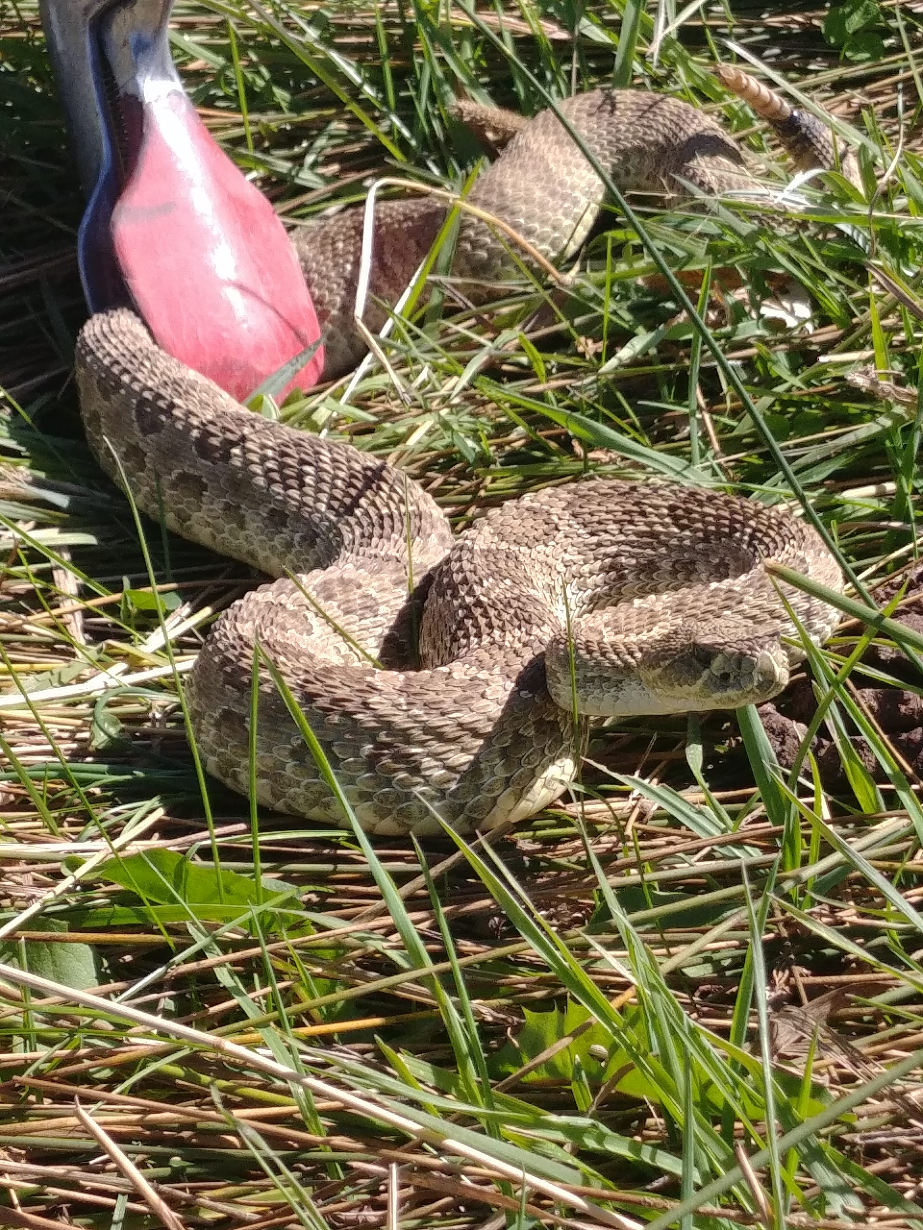
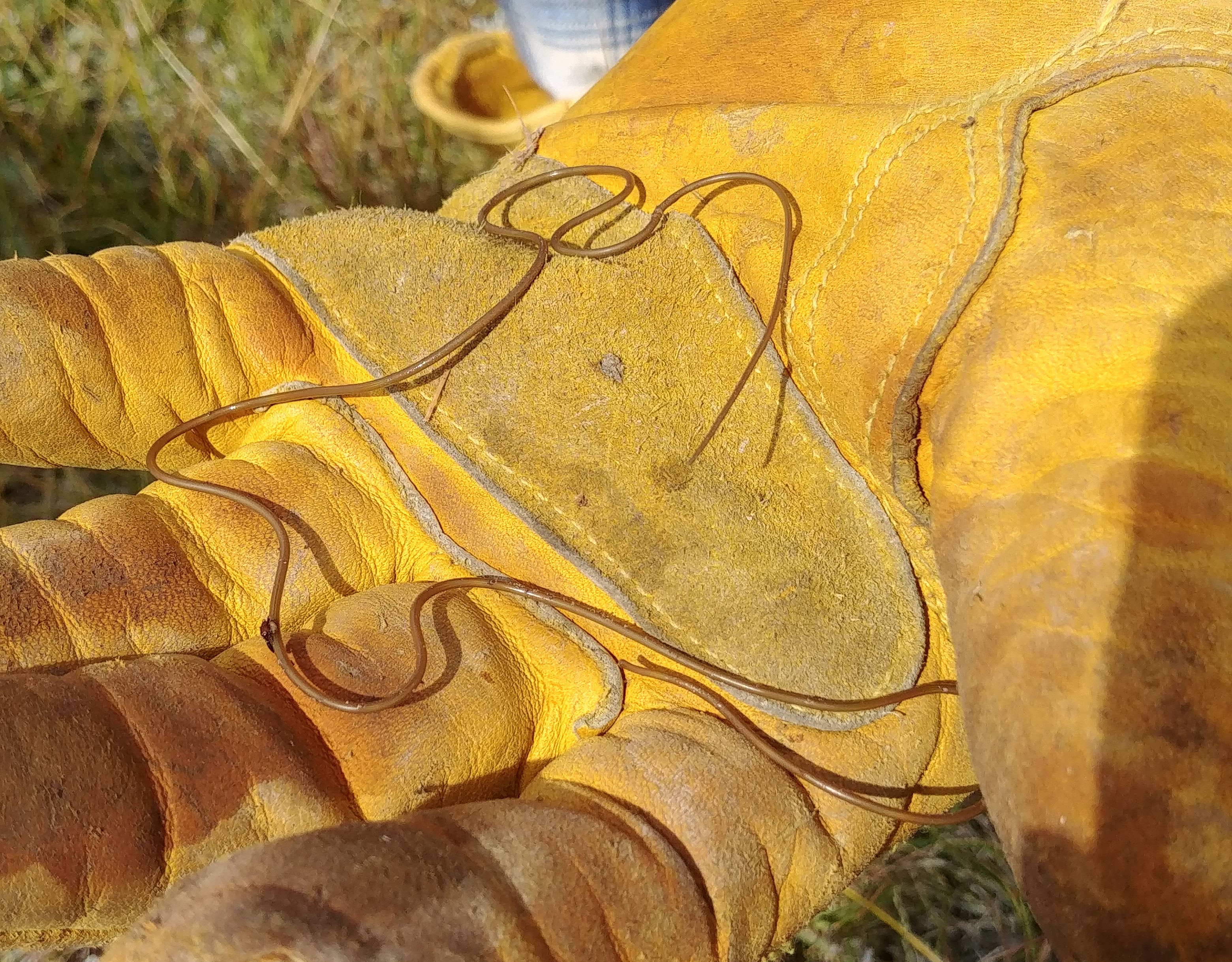
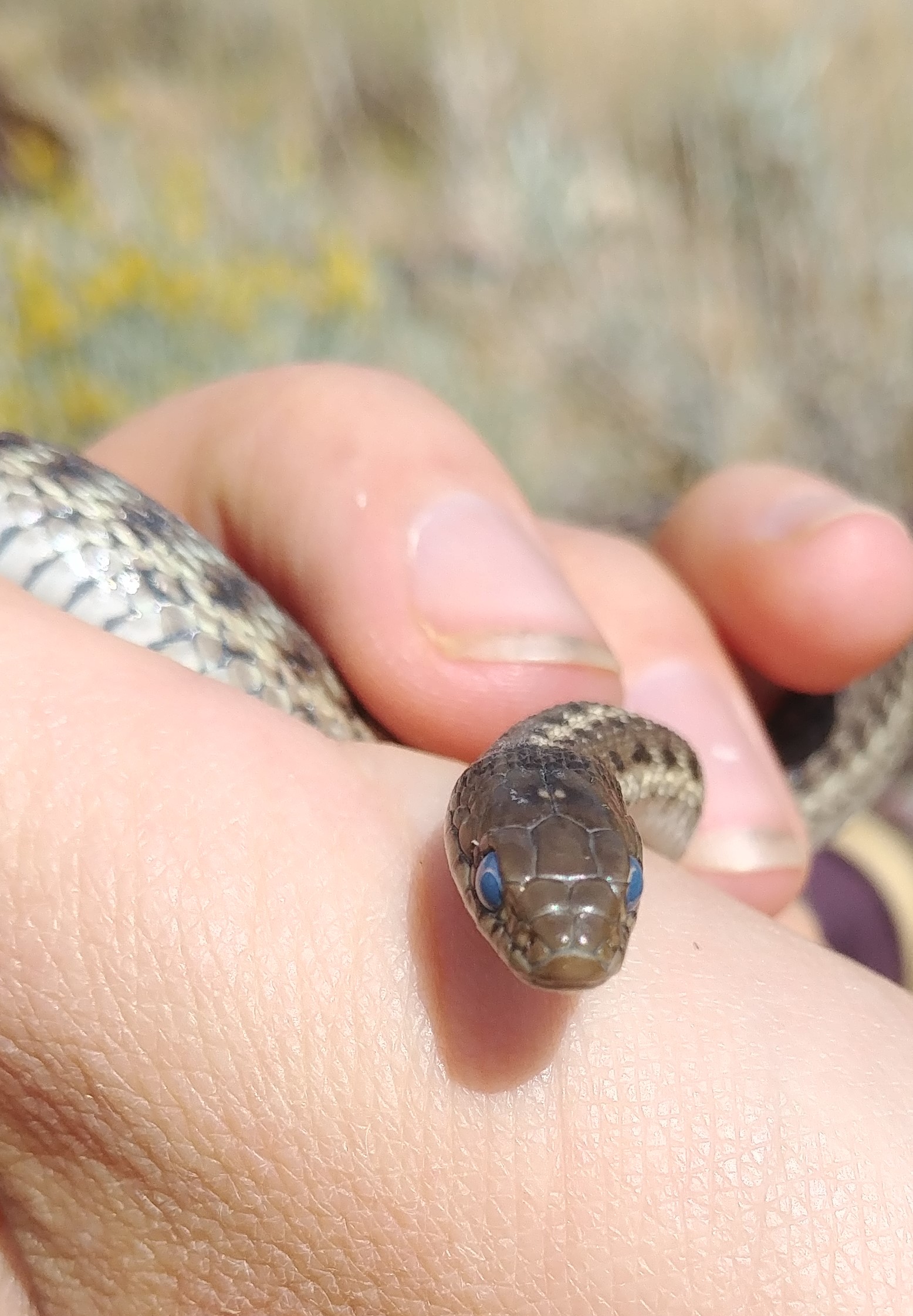
Right side: Wandering garter snake preparing to molt
–
–
–
–
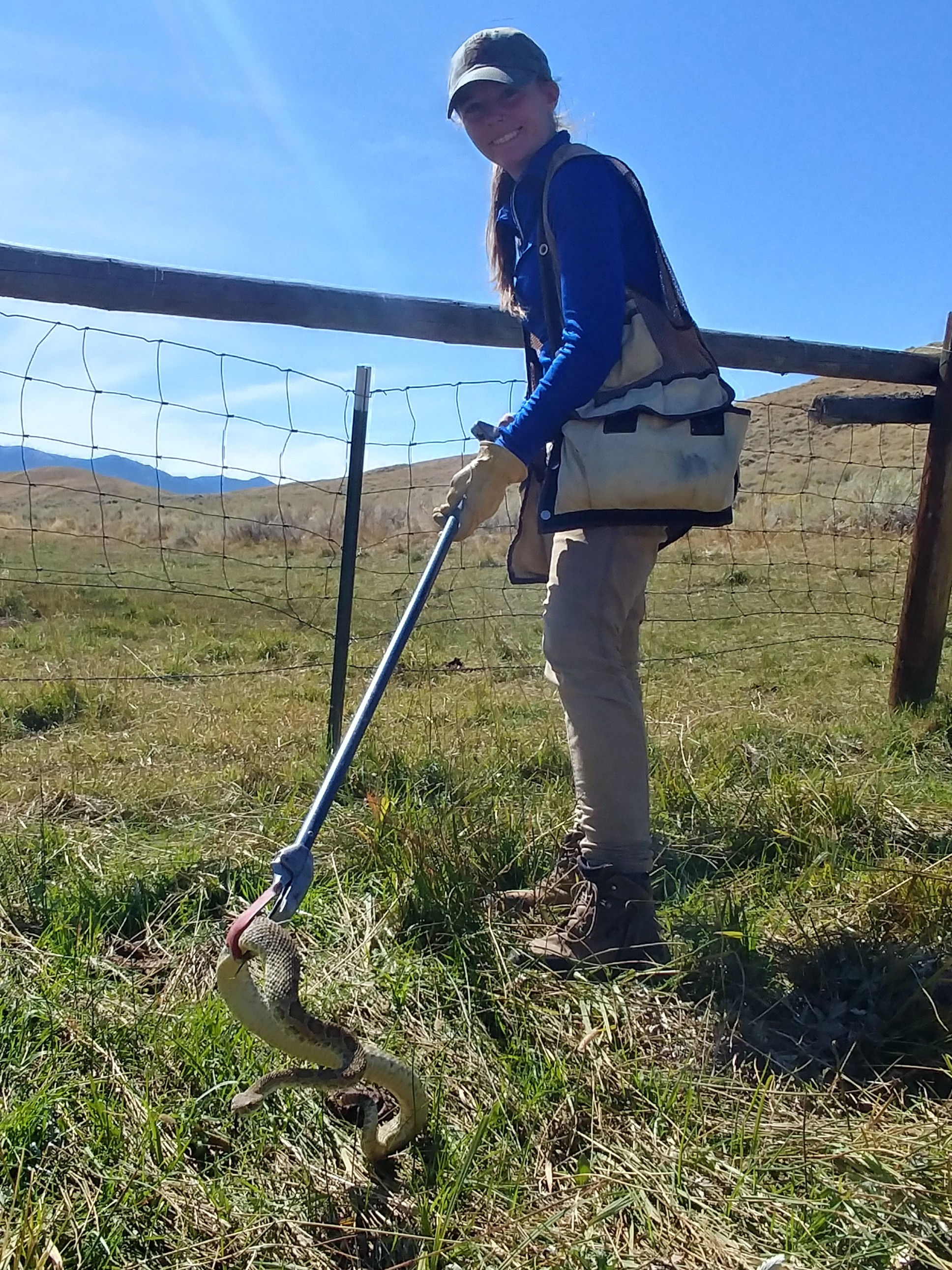
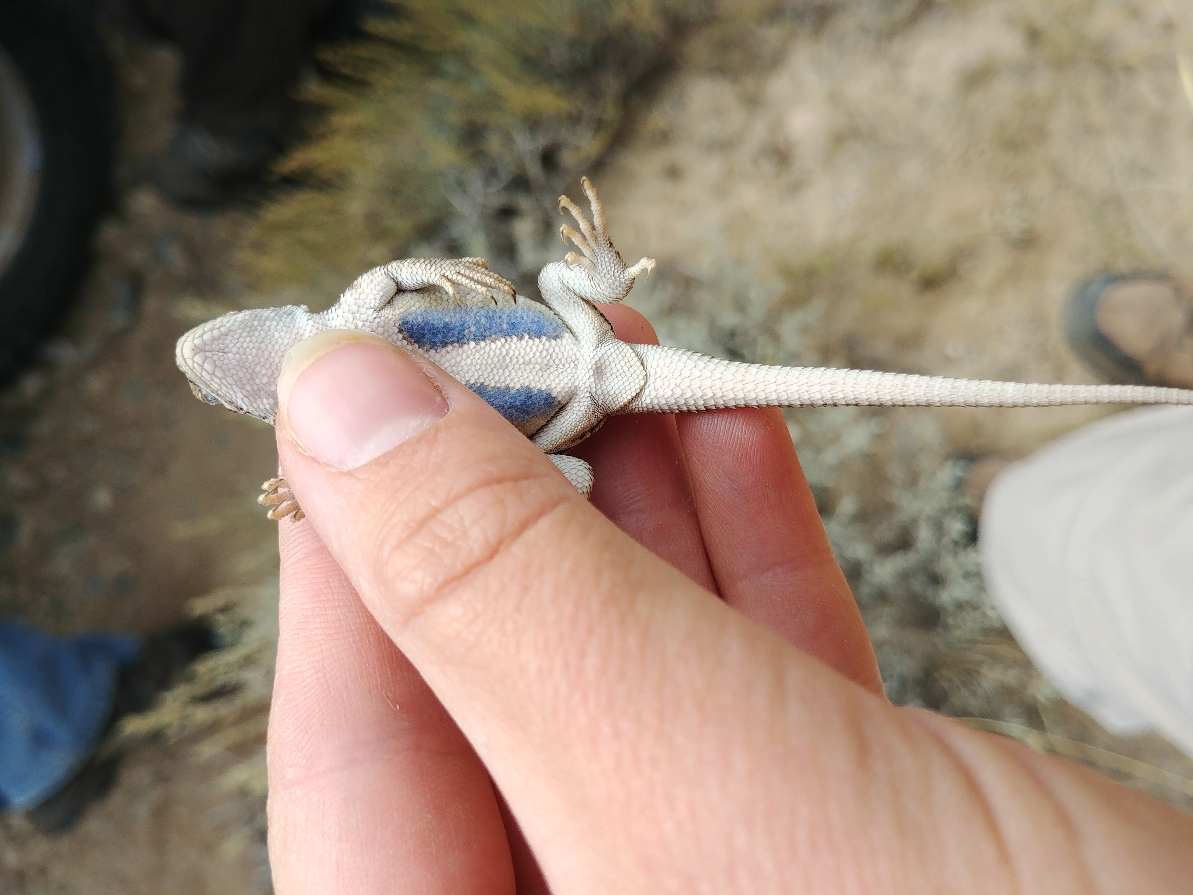
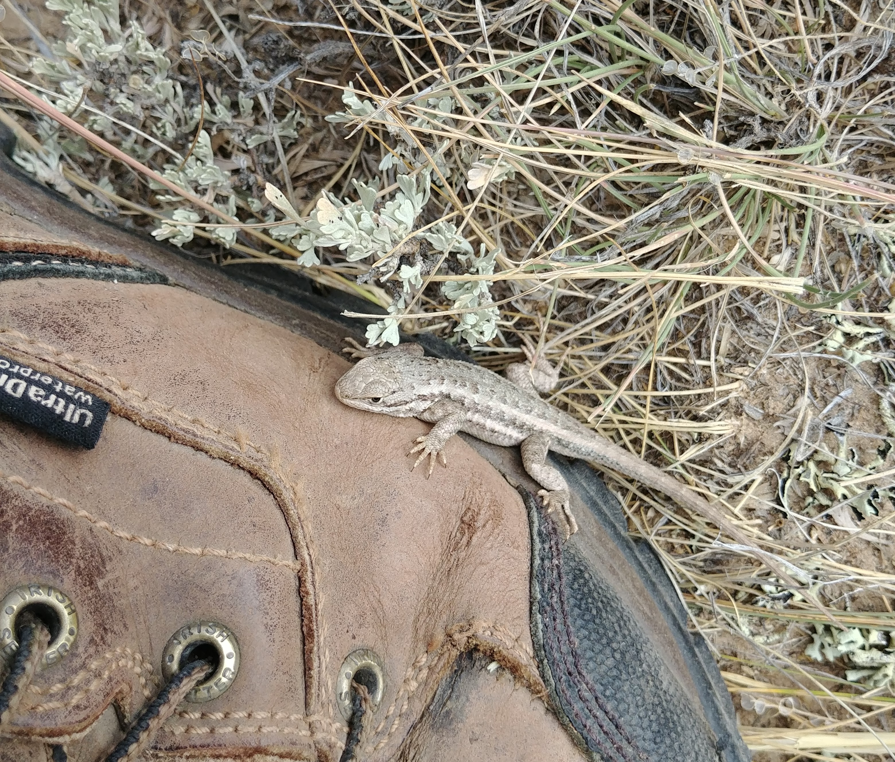
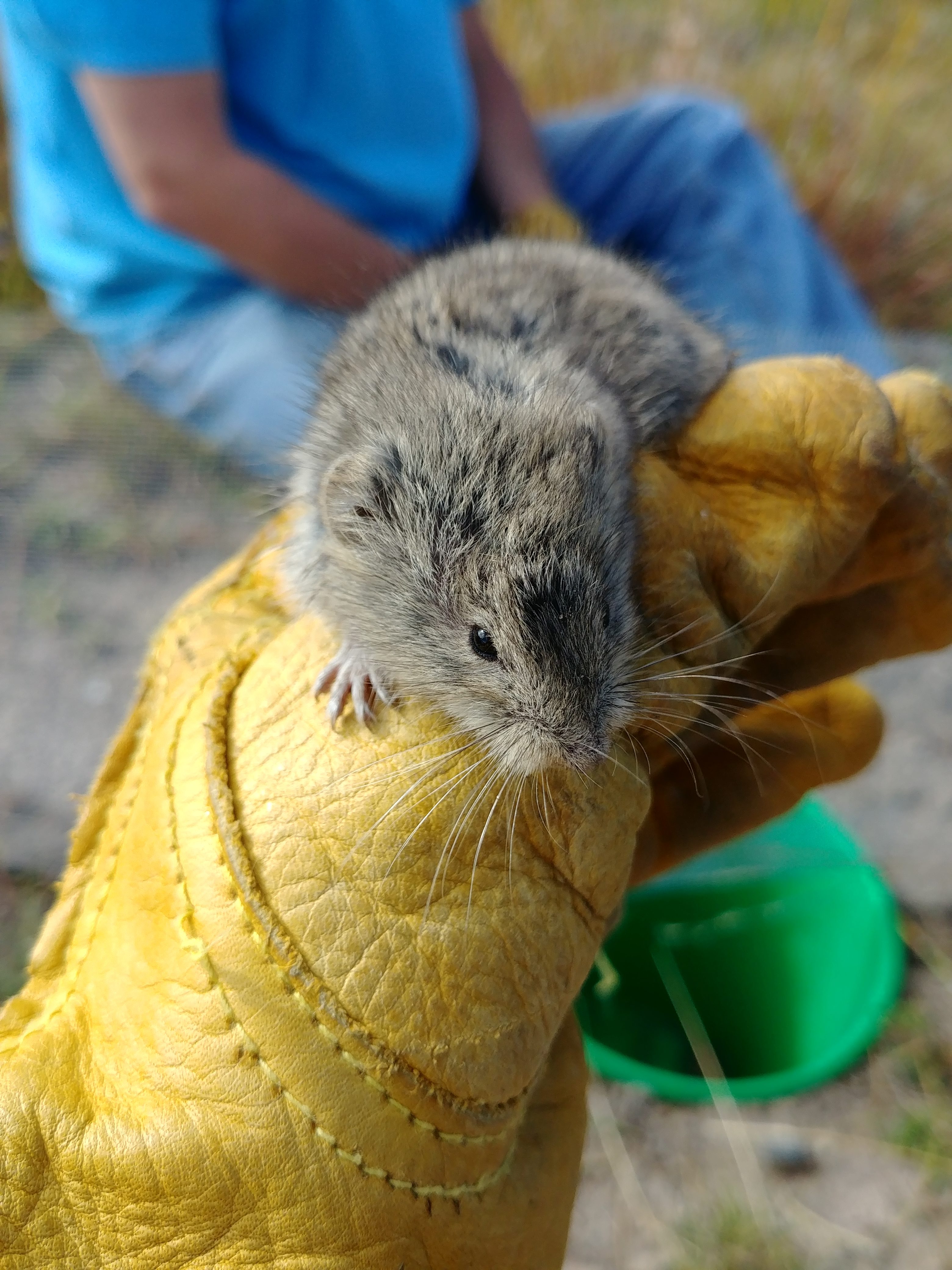
We completed our third set of trapping this month with another ten day stint. We caught plenty of garter snakes, a couple leopard frogs, and finally another rattle snake! Unfortunately we couldn’t process the rattlesnake and all we could say for sure was that she was not a recapture. One of the garter snakes that we captured was preparing to molt. Before molting snakes will develop an opaque film over their eyes and you may see some flakes of skin already starting to peel. Another interesting capture was a sagebrush vole that was in one of our pit-fall traps. This is the first sagebrush vole that has been caught since the project started in 2017. The most intriguing capture of the season so far was a horsehair worm. Horsehair worms are parasites that develop in the bodies of grasshoppers and crickets. It is common that when the host of the parasite dies, especially if it is in water, the worm will leave the dead hosts body and search for a new host. In our case, we had a dead Mormon cricket in one of the pit-falls and next to it in a puddle of water was the living horsehair worm parasite. Hopefully we will have even more interesting captures next month.