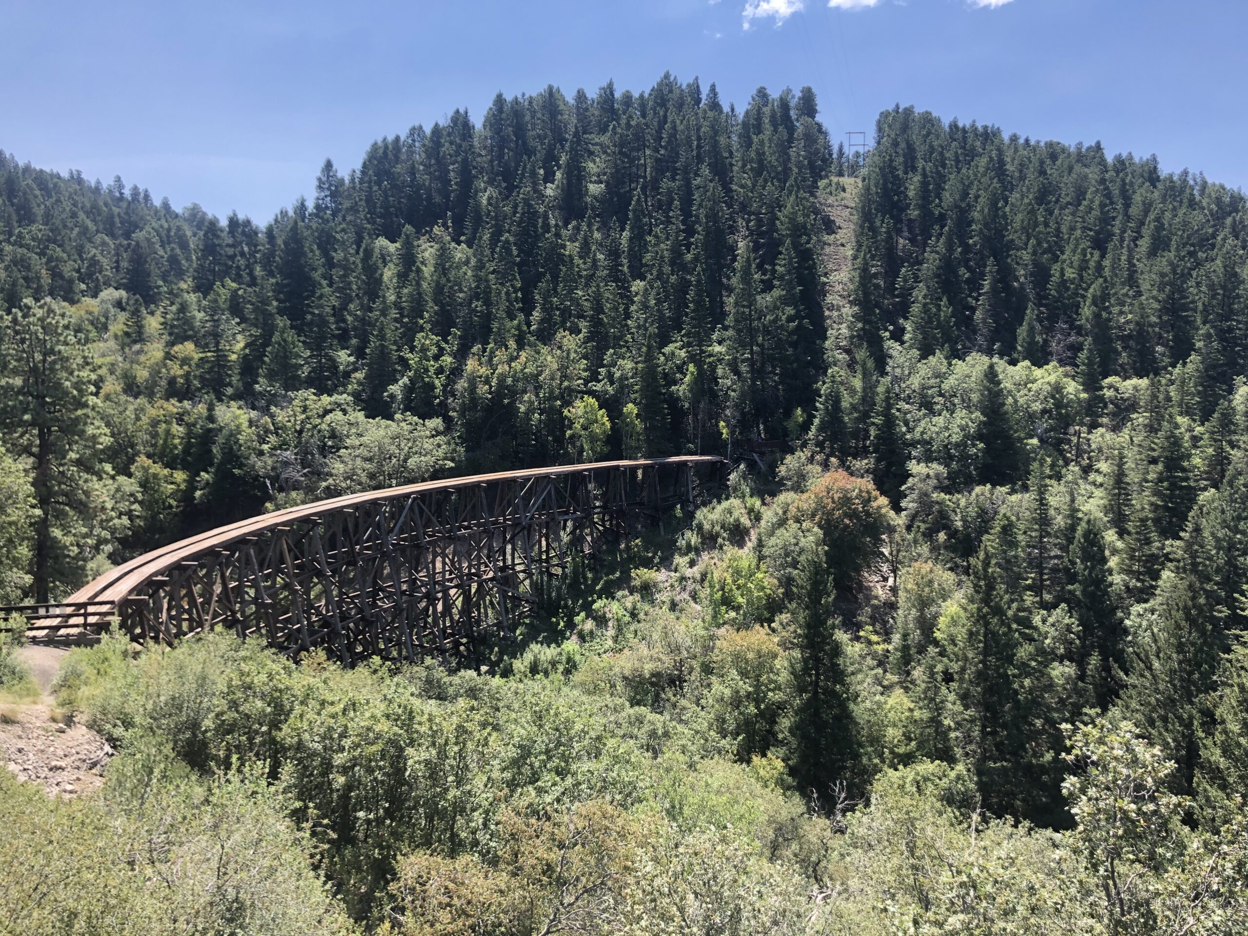
Hello again with another update out of the Lincoln National Forest! It has been a busy month for me due to an injury, conferences, and a new remote project. The biggest news is that I am recovering from a broken ankle and two torn ligaments due to (what I thought was) a simple fall while completing rare plant surveys in the field. I am currently working on a remote project that is focused on creating a database of grazing permits to help the Rocky Mountain Research Station evaluate land use over time. While this injury is pretty unfortunate for the future of my fieldwork as a CLM intern, I am learning to adjust to new projects and a different side of land management. I have been working from home for the past month and have also had the opportunity to virtually attend conferences for both the Botanical Society of America and the Ecological Society of America.
For this blog post, I wanted to follow fellow CLM intern Lili Benitez’s lead and discuss the land-use history of the Lincoln National Forest, with the intention to learn and think critically about my position as an uninvited visitor on the unceded territory of the Mescalero Apache tribe (also known as Mashgalé-õde / Mashgalénde / Mashgalé-neí). The term Mescalero was first used by Spanish Colonists as a reference to the traditional practice of harvesting agave for mescal production. The Mescalero Apache people have a long history of land use in the SW central region of NM, primarily relying on the forests and mountainous areas for resources and shelter from the heat of the desert basin. The region’s mountains, some of which are located in the Lincoln National Forest, are important centers of spiritual tradition and community. Leading up to the formation of the Mescalero Apache Reservation by Ulysses S. Grant in 1873, the Mescalero Apache people were subjected to decades of state-sanctioned occupation and violence from the U.S. Army. Today there are three subtribes: Mescalero, Lipan, and Chiricahua which make up the Mescalero Apache Tribe. The current reservation is located on 463,000 acres of land just north of the current boundaries of the Lincoln National Forest.
In 1876 Congress formed the position of Special Agent in the U.S. Department of Agriculture, beginning the long history of natural resource management at the federal level in the United States. This office eventually transformed into the modern-day U.S. Forest Service which currently manages over 193 million acres of land. It is important to understand, especially considering my current position as a CLM intern working with the Forest Service, that this land is unceded territory currently being managed by the Forest Service due to a long history of colonization and erasure of native people from the landscape.
The Lincoln National Forest began as the Lincoln Forest Reserve in 1902 and by 1907 it had expanded to include the Smokey Bear Ranger District. In 1908 the Sacramento and Guadalupe Forests were combined to create the Alamo National Forest and in 1917 President Woodrow Wilson merged the Alamo Forest with the Lincoln Forest Reserve to form the boundaries of the modern Lincoln National Forest. The Lincoln Forest has since served as an important center for cattle grazing, timber production, and recreation in the region.

As a botanist, I was taught to identify plants with a Latin binomial nomenclature system, which is the standard accepted in the scientific community. However, this practice results in the erasure of the botanical knowledge that native people have gained through the use and study of plants in their communities. So, in an effort to decolonize my botanical knowledge I looked into some common plants in New Mexico, such as the mescal agave, and learned both the scientific name (Agave parryi) and the Mescalero Apache name (Astaneh). I encourage you to think about incorporating these names in your scholarship and to always examine the land-use history while doing fieldwork.
Until next time! Emma
