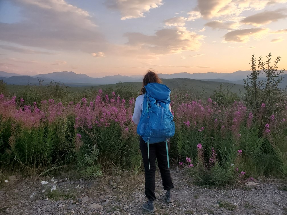
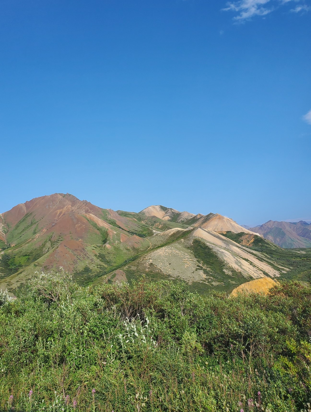
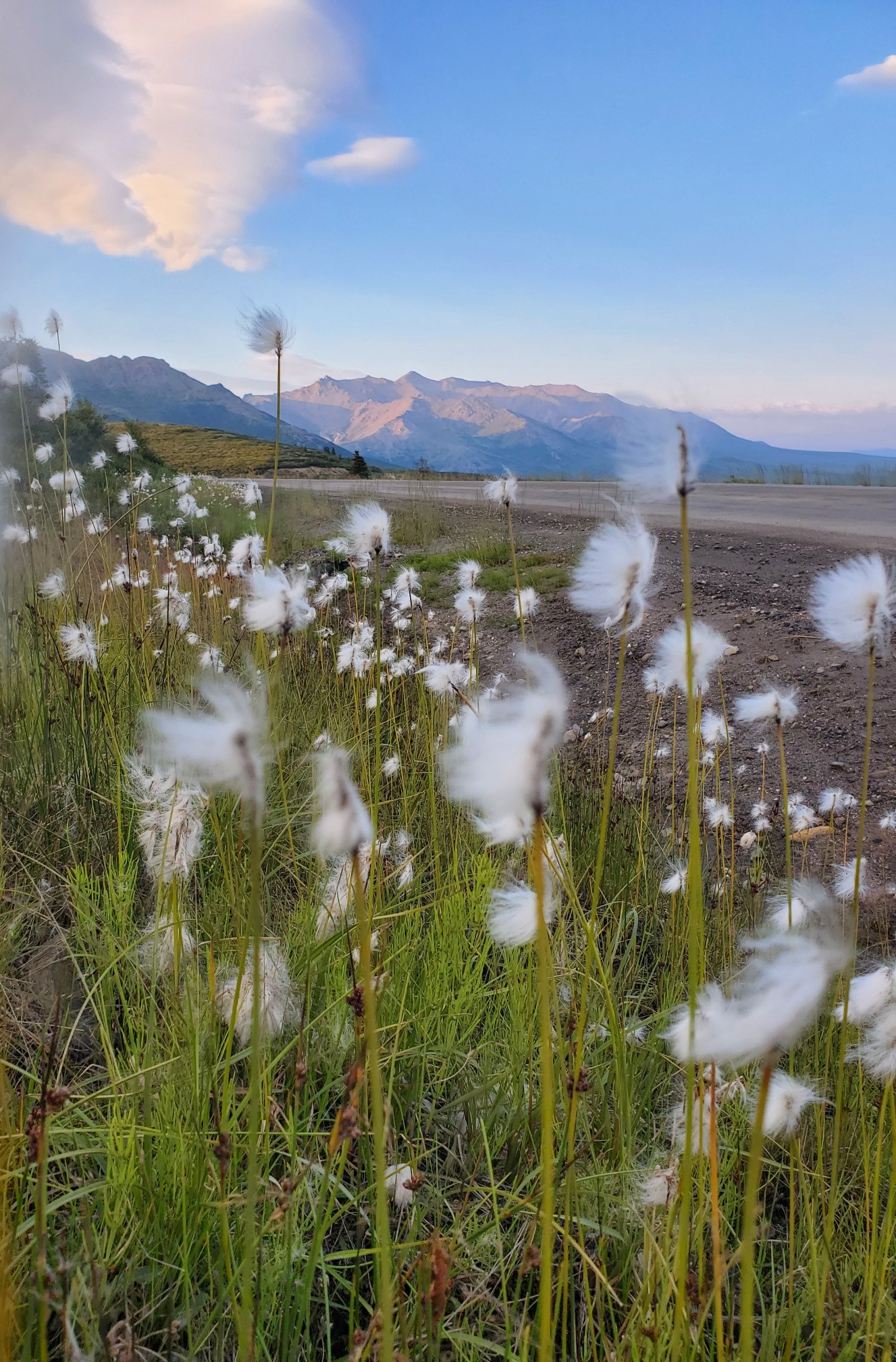
This month, Josh and I got to do some more travelling outside our known areas in the Chugach. The first weekend in August we were able to do some backpacking in Denali. This 6 million acre park was originally created to protect wildlife, as wildlife biologist Adolf Murie studied the decline in Dall sheep. He has been called “Denali’s Wilderness Conscience”, as he spent 30 years rigorously studying ecological relationships, writing articles for popular conservation magazines, and favored restricted human development in the park. This mentality is still withheld today, as there is a landslide blocking the road roughly around mile 35, making the remaining 55 miles of road impossible to travel via vehicle. The woman who gave us a ride worked there a while back and she said there is some controversy on re-opening the road. Apparently it would be easier to construct an entirely new road, however, this completely goes against Adolf Murie’s advocacy. On the issue to improve the park road during his time, he wrote “my point of view will stress intruding and injuring the spirit of wilderness as little as possible, with sometimes a little inconvenience resulting. I would rather err in that direction.” There is also a surprisingly low amount of trails throughout the park, it is just literally 6 million acres for you to roam around. Although we went on a day that had mostly clear sky, you can only barely see Mt. Denali, which unfortunately is like going to the most acclaimed restaurant only to smell the food. The views were still great, and it was nice to see a new ecosystem. There is a shuttle bus around every 30 minutes that takes you to where the landslide is so you can see more of the park.
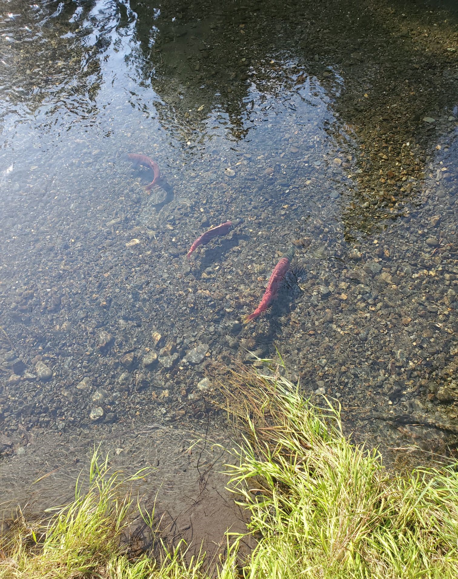
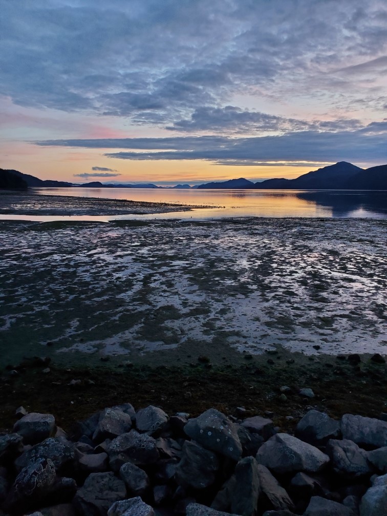
Another cool area we traveled to the second week of August was Cordova, one of the other districts of the Chugach National Forest. Although the town of Cordova is only 139 air miles away from this side of the Chugach, it is not connected to the main Alaskan road systems, making it only accessible by ferry. This 7 hour boat ride took us through Port Wells, between Glacier Island, then into Orca Bay. After speaking with the terrestrial crew leader, she advised for us to have a goal to make a grass and a Carex collection by the end of the week, I think this is because she wanted to have seeds for a wetter area and seeds for a drier area. It was exciting to get to a new place with different species that were more prevalent on our list. Cordova seemed as if it gets 2x the amount of rain Moose Pass does, and a lot of plants seemed to be behind in phenology, especially in the glacier area. Cordova also has way more bears than on the other side of the Chugach, and to be in on a trail anywhere out there, you need to be gun certified. At first I was rather bummed that we weren’t hiking as much, but then our 2nd to last day we saw a grizzly nearby our mapped Carex site. I had thought it was a car on the dirt road and then I saw the 4 legs moving into the forested area. After hiking most the Chugach without a bear encounter, I was rather scared. I turned some music on a portable speaker, clenched my bear spray tight and continued to pick Carex in the pouring rain.
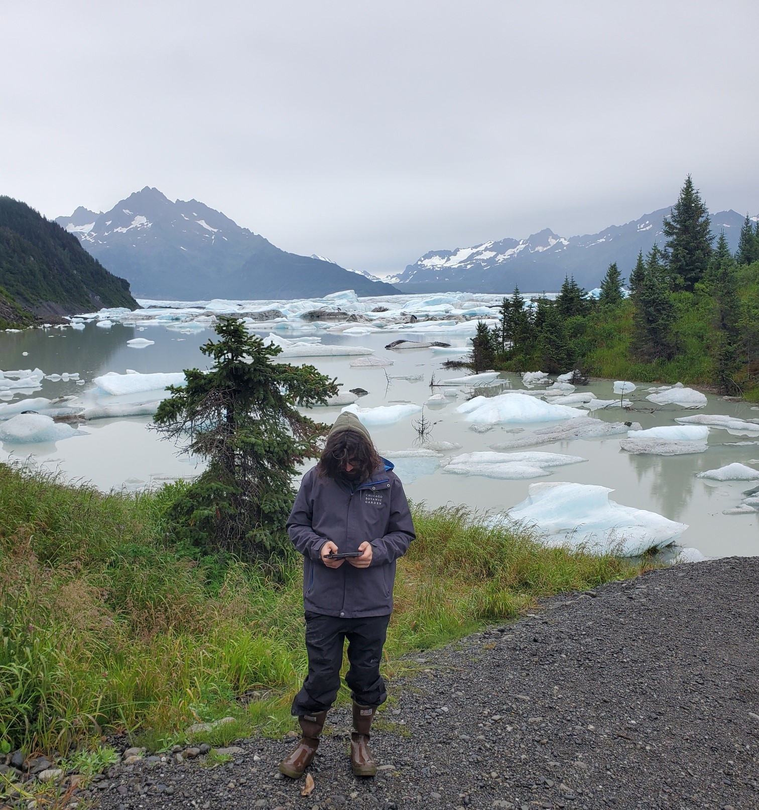
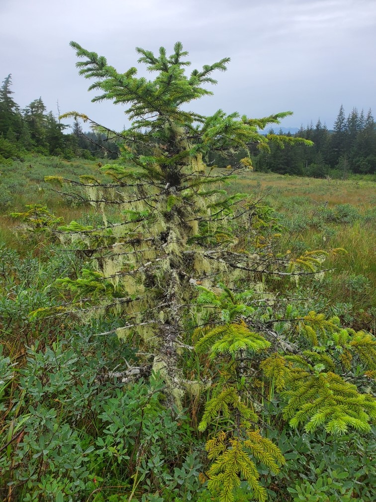
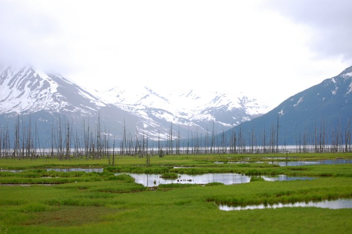
Another interesting fact about Alaska in general is in 1964, a 9.2 magnitude megathrust earthquake caused ground fissures, collapsing structures, and tsunamis. This was caused by an oceanic plate sinking under a continental plate. In the Turnagain Arm area closer to Anchorage that Josh and I are more familiar with, the earthquake dropped this area around 8 feet. This is seen today by the ‘ghost tree forest’, from all the spruce that became water logged after 1964. However in Cordova, the ground was raised, causing new wetlands to emerge. Overall, it has been cool to learn about how this recent history has affected the ecosystem differently from the ground shifting to opposite elevations.
Overall, we have collected 1,562,248 seeds from 22 populations, consisting of 12 different species and 12 different locations. Other than a couple more collections of grass and maybe some Juncus, we should be finished and starting to process all of this for storage.