I am already back to school finishing up my undergraduate year and I had such a great summer with the CLM internship at the BLM. I am actually a Native Nevadan living in Northern Wisconsin and I specifically chose Nevada as a worksite in hopes of better understanding the vegetation of my homeland and insight into the career field of Conservation Land Management and botany.
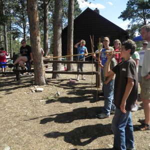
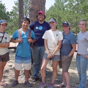
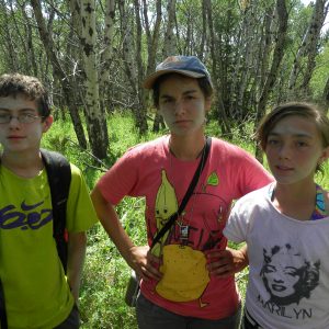
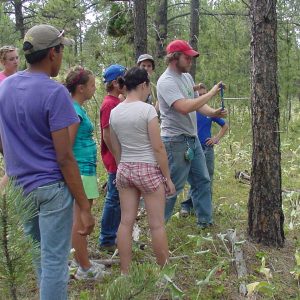
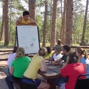
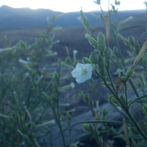
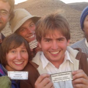
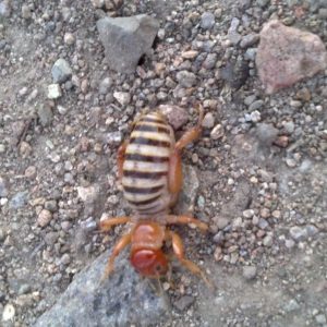
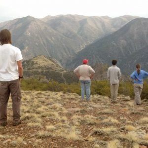
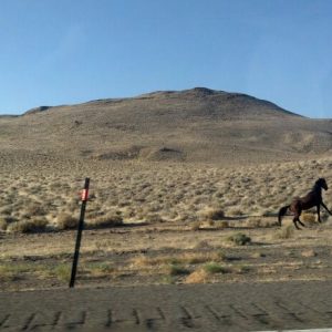
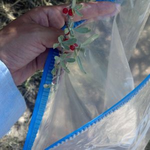
Some new skills I have gained throughout this rewarding experience are: Fire transects, rare species monitoring, seed collecting, ecologic management of invasive annual grasses, drought monitoring, and working in a heat stress environment. I was kind of thrown in the mix of young energetic interns who have been there for months and for the most part, already knew what they were doing. I felt fortunate to learn from such a fun, friendly and professional field crew. They helped me to learn my plant species and how to work and camp in the desert. I caught on to learning new plant species really fast. By frequently seeing the same species, the faster I was able to remember their Latin names and identify their habitats. I really enjoyed teaching my field colleagues about Native American culture and sharing stories about how it was growing up in Nevada, like harvesting pinenuts and medicinal plants. My mentor, Dean, was really great. He taught me about the ways of our ancestors and what tools and plants they utilized. He also taught me a lot of geology, geomorphology, and botany.
Yes, I have learned a lot! But above all, I have enforced the teaching that we are all related and connected to our surroundings. It is very exciting for people who haven’t experienced nature or who are afraid of the unknown. Our trying to figure out why things are the way they are and ways to better care for the land through science is what keeps us connected to our environment. With this understanding, we are able to love and respect our Earth, and with that, it is our responsibility to help teach others the same lesson.
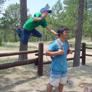
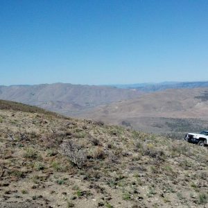
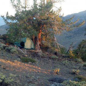
My favorite part of the internship was camping in the desert with a million stars shining in the sky during a meteor shower. I also loved waking up early in the morning to watch miles of land glow orange as the sun rose. I loved how our tight knit field crew made it a point to eat all meals together and were tons of fun even while working in the peaceful desert! Thank you CLM and thank you Carson City BLM intern team!