The beginning of fall

Early in the morning with the moon still overhead, I stepped out into the cold and slid shut the door of my apartment. It was too dark to see, so I felt each of the keys on my keychain before finding the right one to lock up. Then, I turned around and stopped to look for a moment. The sky was full of stars.

When I started at Ottawa National Forest in early June, the morning sky was blue and dappled with clouds when I left for work, in July I woke to spectacular red sunrises, in August the mornings were dim with the first hints of light illuminating dense grey mist, and, now, I am greeted by stars. I have never watched the seasons change like this before. 

Over the past month, my-cointern Tessa and I have continued to travel the forest mapping and treating invasive plants. We’ve tackled tansy ragwort, honeysuckle, Japanese barberry, glossy buckthorn, Eurasian watermilfoil and more. Sometimes, we hike all day to visit a few small, remote sites, and sometimes we work right along the roadside treating large patches of weeds where invasive species cerews have made gradual progress year after year. 

On a bright Tuesday, Tessa and I headed out to a particularly dense cluster of invasive species infestations lining Trout Creek. Waders on, we trudged through marsh up to our knees. Growing among the reeds were numerous glossy buckthorn seedlings with shining oval leaves that glinted in the sun. The soil was soft, so we could often pull the invasive seedling up by the roots. As we walked, Tessa and I passed ideas back and forth. These seedlings must be coming from somewhere, we surmised, some larger buckthorn that could produce numerous fruits…  the mother tree. We decided we would find it if we could.

Time wore on, yet our efforts to find the mother tree proved fruitless. We waded back and forth through the infestation area and eventually moved on to some invasive honeysuckle sites further along the marsh. 

When we passed through the buckthorn site again, the afternoon was drawing to a close. Making our way back to the truck to head home, we stumbled into a pocket of glossy buckthorn we had missed. Instead of being knee-high seedlings, the buckthorn here was up to our heads. Most of the buckthorn we’ve treated this summer has been no taller than eye-level. We did see one that was fifteen feet once, though. Even though the trunk was only four inches in diameter, cutting through it with a pocket saw felt like felling a real tree. 

With so many plants to treat, Tessa and I decided we would have to come back to the site another day to finish up. As Tessa bent low, sawing through one last buckthorn, I noticed that the normally green, glossy leaves of the plant had begun turning a deep red from the autumn chill. Looking over her shoulder I got a glimpse of a tree colored that same red. Could it be another buckthorn? I looked more closely, following the tree up… and up… and up. Towering over the rest was a great buckthorn, with a trunk a foot in diameter and a crown thirty feet tall. “Tessa… Tessa,” I said slowly, “We found the mother tree.”  

I snapped a photo of the great tree with Tessa standing next to it for scale. Then, we headed back to the office, excited to tell our mentor, Ian, what we found. Before the season is over, we’ll head back to the site to finish treating the remaining buckthorn, including the towering mother tree.
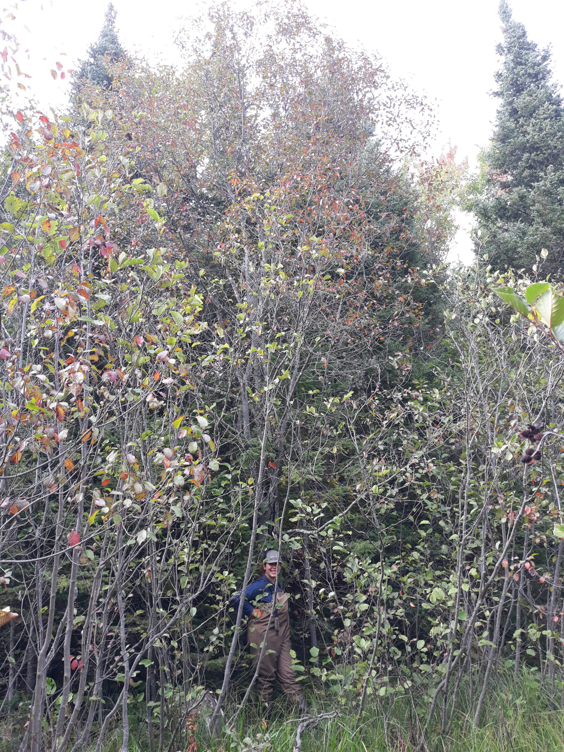
Tessa stands in a marsh with one hand on a very tall buckthorn with red leaves.
The mother tree (center) towers over Tessa

While the search for buckthorn along Trout Creek required wading through waist-deep water, some weed work requires us to get fully submerged. That’s why on a crisp Monday morning, I helped load wetsuits into the truck along with paddles, life jackets, and flippers. Then, Tessa, Ian, a Forest Service botanist named Katherine, and I headed out to Lac Vieux Desert lake for our last snorkel day of the year.

Our job was to find and pull Eusrasian watermilfoil, a highly invasive aquatic plant. Eurasian watermilfoil has a doppelganger though, native, northern watermil foil has fewer leaflets than the invasive cousin it grows side by side with, but if I hadn’t been told to look for the difference the first time we went snorkeling, I never would have guessed they were two separate species. 

We spent the day searching through the water. When we found an invasive plant, we would gather the long flowing stems into balls and follow them down to the lake bottom. When you apply just the right pressure there, the plant pulls up in one continuous clump without the stems snapping and producing fragments. A milfoil fragment two inches long can go on to root into a whole new plant. 

A figure in a full wetsuit with a hood and goggles stands in front of a lake giving two thumbs up.
Ian took this photo of me suited up in snorkeling gear!

The water was chilly, but we checked in with each other often and took turns paddling the canoe when we got cold. Spirits stayed high. As we swam along the shore, swapped stories on the boat, and admired some sizable snails, the buckets of Eurasion watermilfoil we had pulled piled up on the shore. 

On our first day of snorkling for watermilfoil in the early summer, I had to count the pairs of leaflets of every milfoil I encountered to make sure it was the invasive species. Diving on Monday, though, I was surprised to find I could distinguish northern from Eurasian with relative ease.  Everything from the way the plants moved in the water to the feel of the leaves in my hand set the two apart. 

Realizing this, made me stop and think about how much I’ve learned this summer. Under Ian’s mentorship, I’ve been given an invitation to pay deep attention to the natural world and the knowledge to notice things I never would have seen on my own. Now, after months of spending long days in the forest, I’m beginning to see that attention pay off as I recognize the plants around me and see how they change and grow. I’m sure in June I would have walked right by the mother buckthorn and never stopped to look up. Still, I know I’m just scratching the surface. An opportunity to work with the Ottawa’s Timber crew showed me a glimpse of how much more is out there to notice. 

All summer, we’ve been meeting different people on the Ottawa, developing diverse skills, and getting a glimpse at the different jobs various forest departments take on. To this end, on Wednesday we met with Amanda and Megan from the Timber Crew. They gave us insight into all the different tasks needed for managing commercial timber from outlining the boundary of sale areas, to marking trees along future roads, to protecting valuable areas like wetlands and historical sites. Soon enough, Tessa and I were each outfitted with a paint sprayer on our backs heading through the woods to help lay out the boundary of a timber sale area. 

We followed Amanda and Megan through the woods, marking the stumps of trees they selected with bright orange paint. These trees, they explained, would become the outline of a sale area, showing the purchaser where they could go and where they should avoid. 

I quickly learned that laying out the line is not as straightforward as it seems. Skilled timber markers weigh a wealth of different factors as they set the boundary.  As they worked, Megan and Amanda took care to mark trees close enough together that you could easily follow from one to the next. They kept the line smooth, without too many jagged turns, and always ensured that the areas they marked were wide and flat enough for logging vehicles to navigate and turn around. All the while, they made sure to draw lines that avoided fragile wetlands and left a large enough buffer of trees around sensitive areas to provide shade and prevent erosion. Thinking of visitors, they were also careful to leave a good barrier of trees around a popular recreation lake. As we walked, Amanda and Megan sometimes saw great gnarled trees with knots and kankers and bits of shaggy bark. These they also left out of the sale area when they could. They are of little value for timber, they explained, but provide great habitat for all manner of wildlife. As we traveled, Amanda and Megan were teaching us every step of the way, explaining their thought process and talking us through decisions. 

My favorite thing was watching the pair read the land. They paid careful attention to the plants, canopy, and soil as they decided where to paint the line. Blue cohosh, they explained, a knee-high herb with blue fruits and pointed leaves often indicates good timber trees are nearby; black ash, tall with symmetrical pairs of leaflets, on the other hand, is a wetland species that suggests the surrounding area should probably be left out of the timber sale. They chose each tree we marked with careful consideration, taking time to study the landscape. I’m still not sure of my path after CLM, but, after spending the day with Amanda and Megan, I sincerely hope that I can bring the same level of care and stewardship to my job that they do everyday. 

In my first blog post, I explained that I wanted to know all the plants in Ottawa National Forest. What I meant, though I did not say it explicitly, is that I wanted to know the names of all the plants in Ottawa National Forest. Over the last several months, I’ve learned that knowing a plant involves so much more than just knowing its name. It’s a never ending process of seeing how it changes with the seasons, observing its growth and habitat, and understanding its interaction with the world it makes its home. Realizing this makes me hopeful I can meet my goal. I don’t have to memorize long lists of names. I just have to focus my attention on the world around me, be curious, and take notice. 

Mixing It Up in the Mojave

This month has been a wonderful combo of field work, greenhouse prep, and a holiday weekend road trip! I’ve been working to get our project to the point of starting another round of Joshua Tree seedlings to replace the ones we lost over the past year, which requires quite a lot of surprisingly time-intensive steps. I have also started really being independent in my field work, going to all the sites on my own to assess and water the plants. Finally, I’ve gotten to see even more of the southwest, continuing to explore around Vegas, and travelling a bit further afield to northern Arizona and the beautiful Kaibab National Forest.

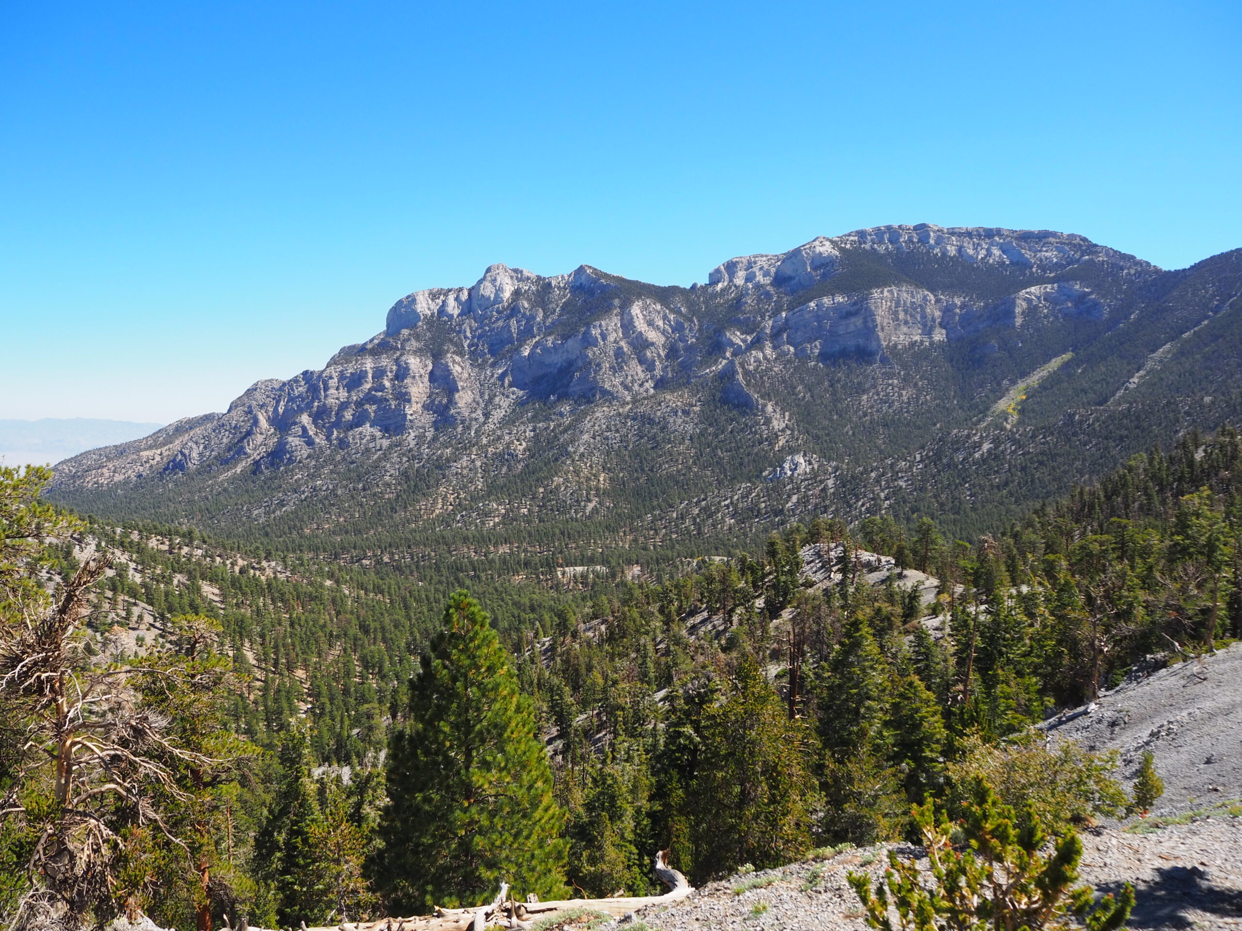
View from Bristlecone Trail in the Spring Mountains NRA outside Las Vegas

First, here’s a quick update with field work. Everything has been going very well in the routine assessment and watering trips. I have begun working solo, which has not really been an issue, simply because I have been well prepped by my bosses. I have noticed on my California overnight trips, the forest fires from very far away can have smoke blow all the way over to me in the desert. I have actually woken up smelling like a campfire! Also, last week was our final time watering the seedlings. These unusually extreme conditions had us giving the little fellas extra hydration during the summer months, but now that things are cooling down, these desert-adapted plants should be fine without getting an extra drink from us. I am going to miss using the fireman’s hose, and getting to work a hydrant to fill our tank at one of our sites. I’ll still be going out for field work, but only to assess the plants and possibly trap for rodents.

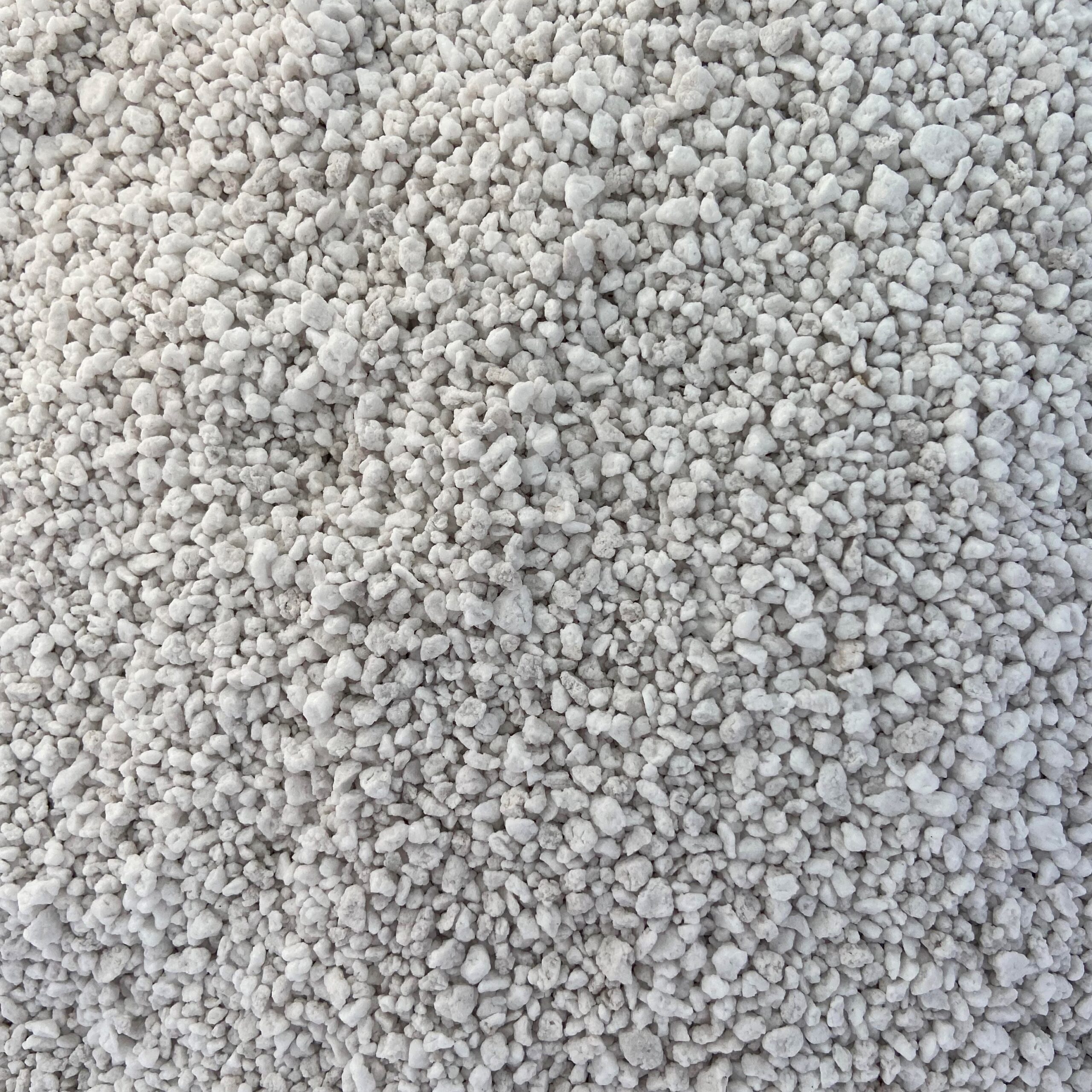
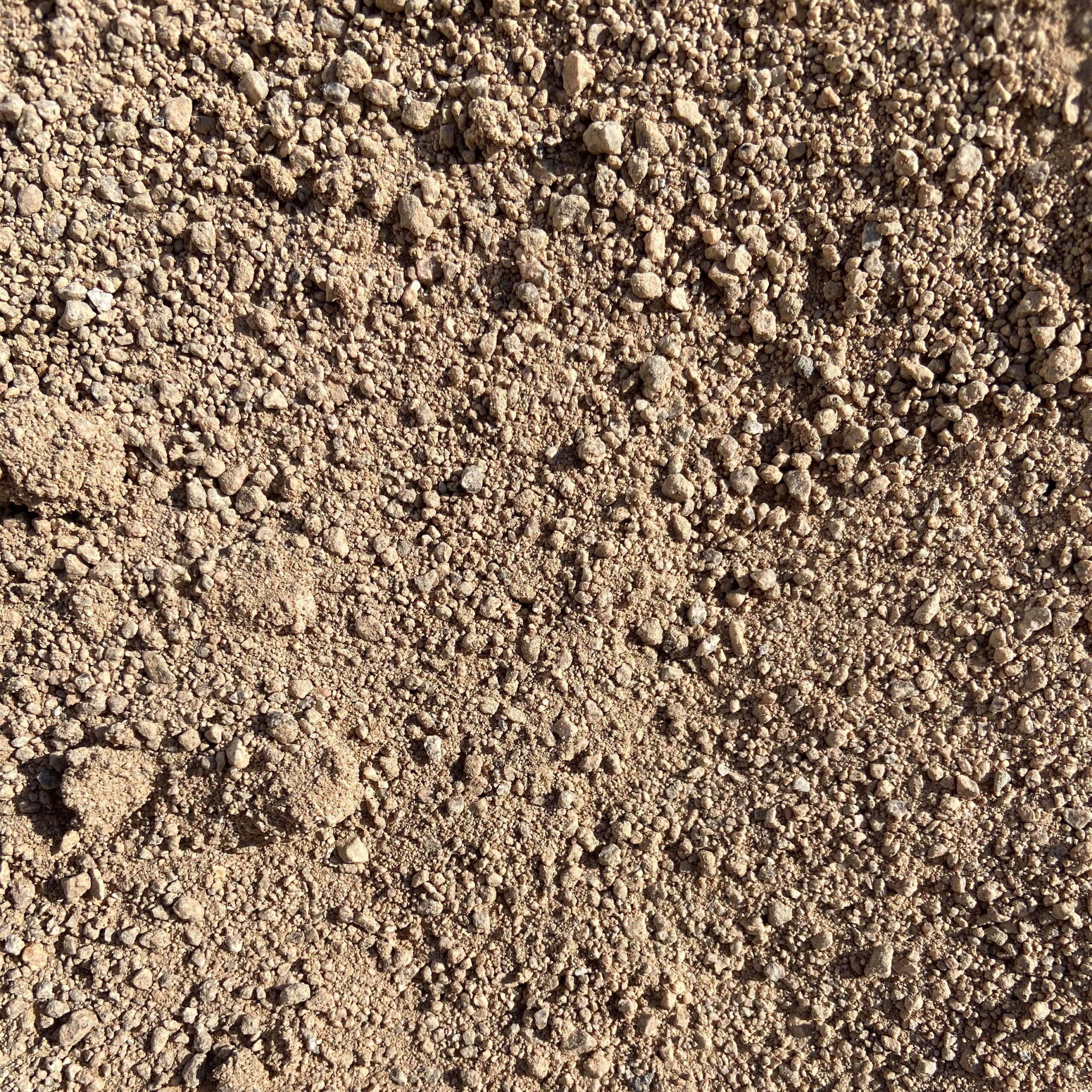
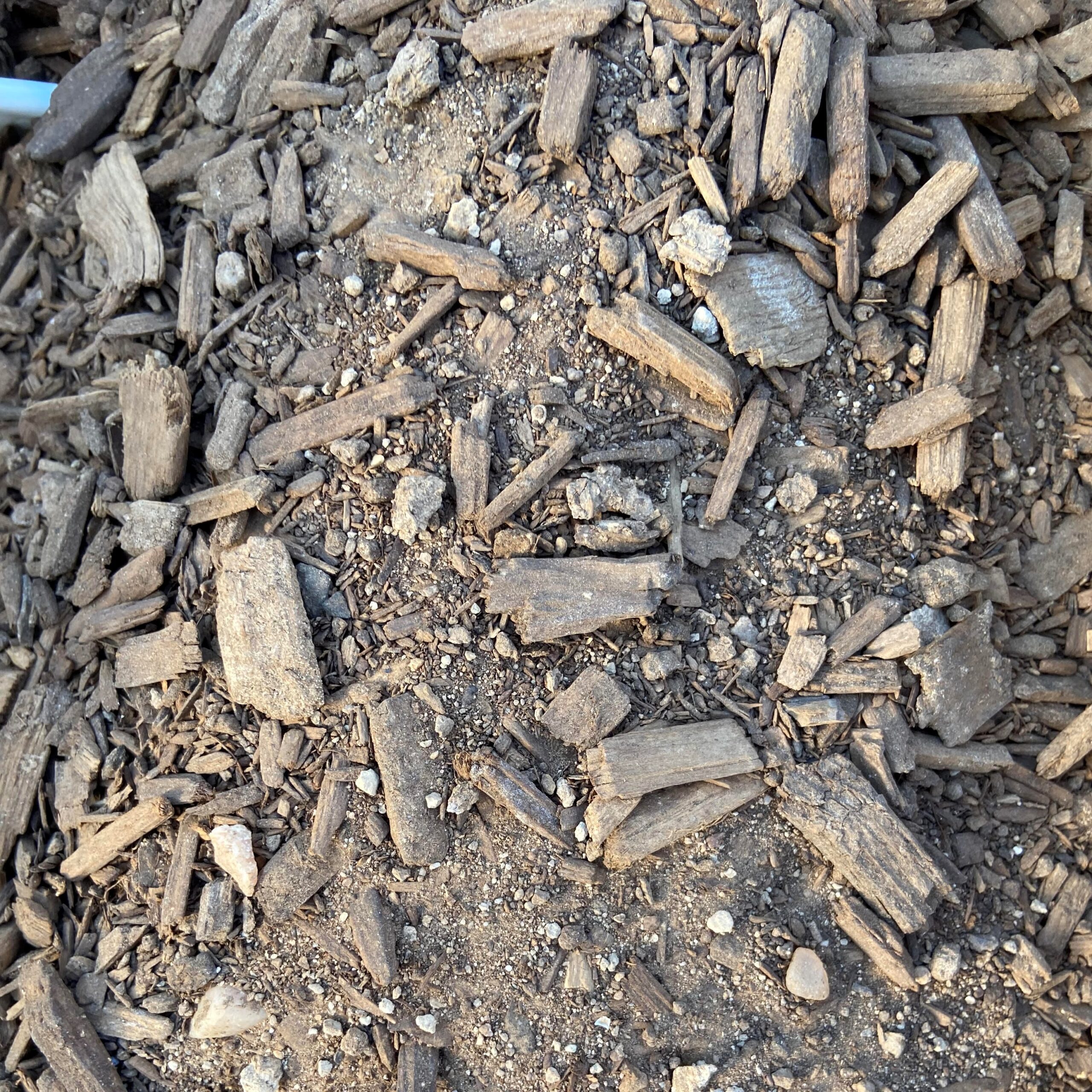
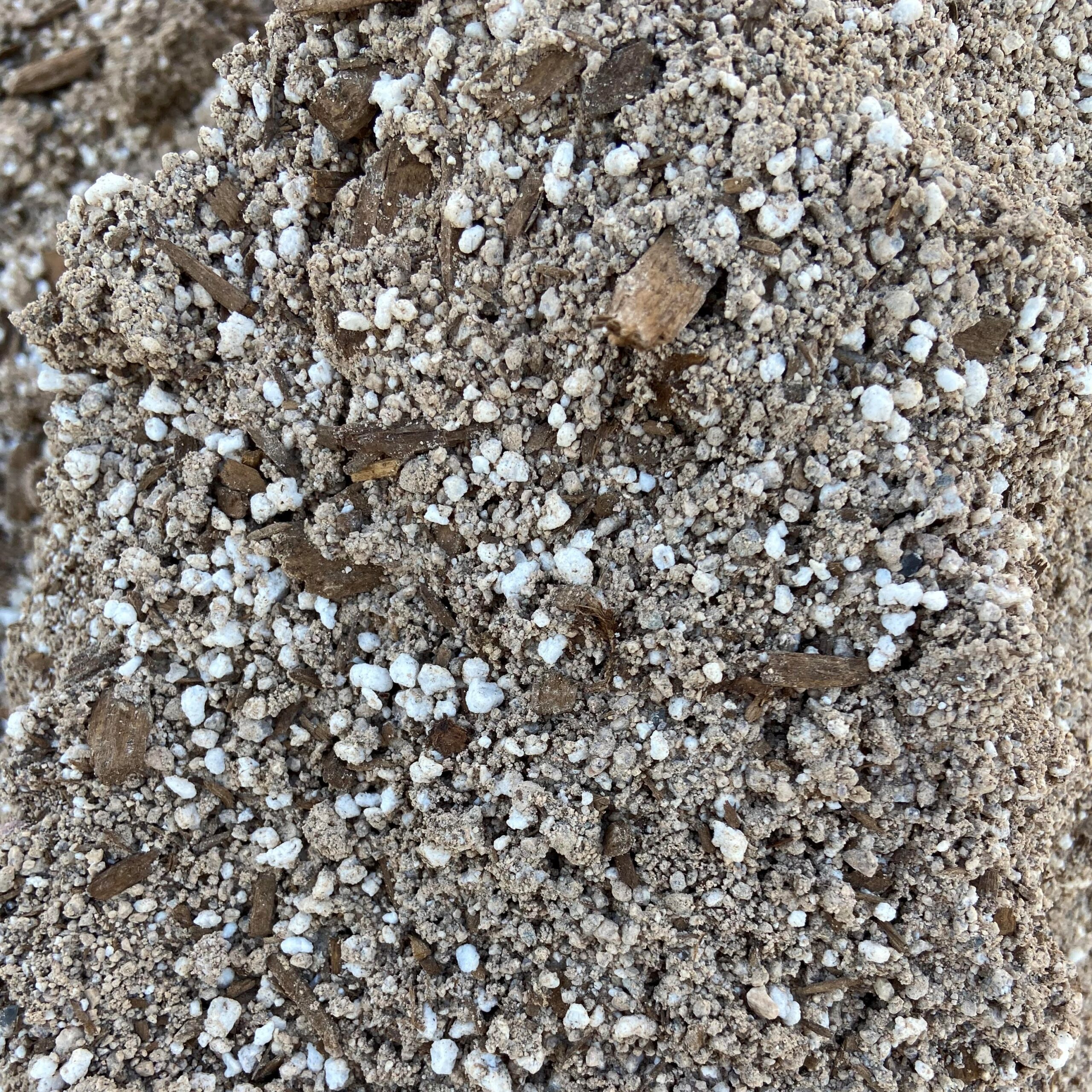
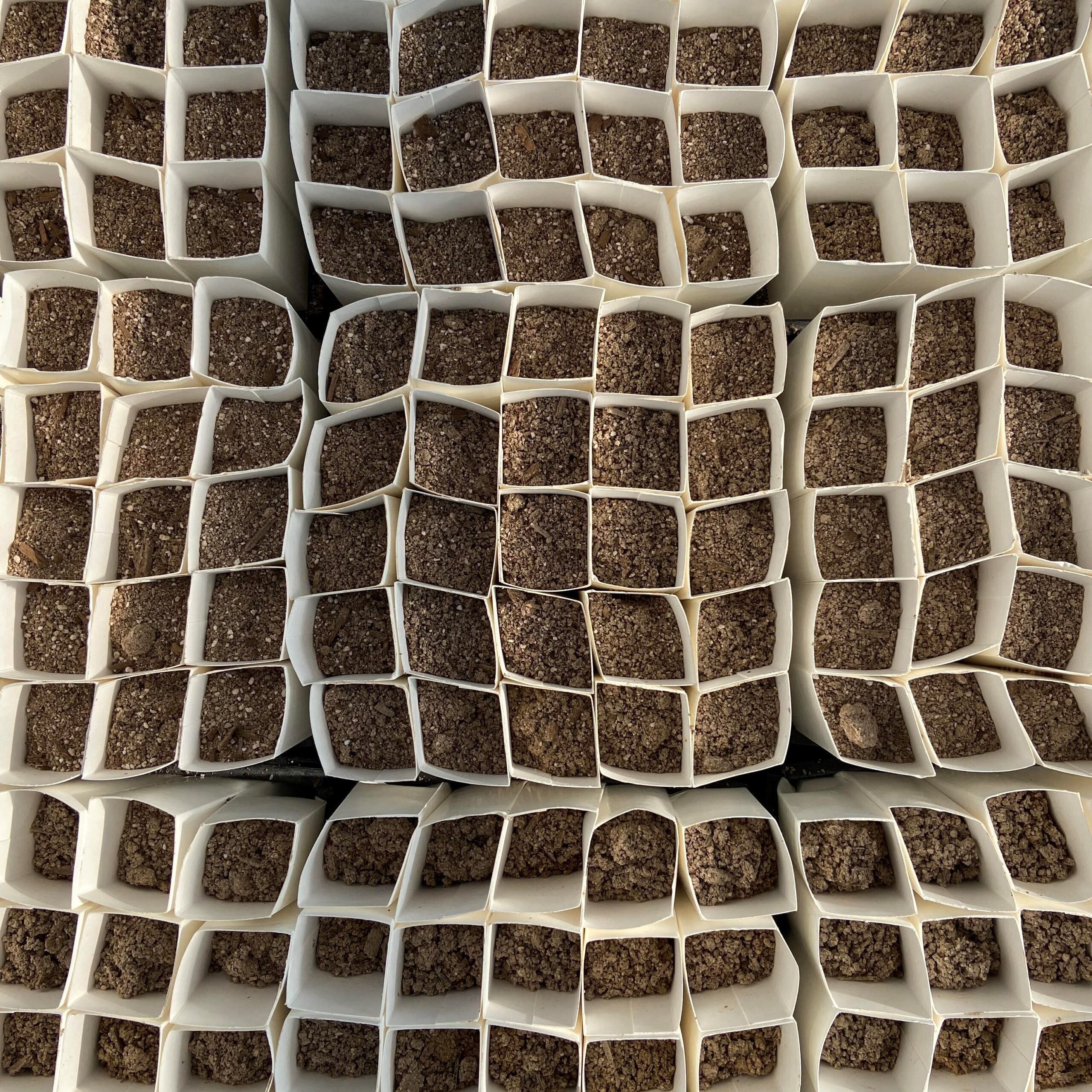
Back at the greenhouse, we have been working hard to plant about 3,000 plants, 750 for each garden. To do so, we have to do a lot of set up. Between data entry and field work, I have been spending my time at the greenhouse: cleaning crates, unfolding plant bands, and filling the bands with a special blend of soil. We mix our soil ourselves, creating a balance that reflects the unique desert conditions. The soil is mostly sand, devoid of nutrients and draining water well. Joshua Trees are not adapted to soil that stays wet for long periods of time, so drainage is key. We also mix in some perlite, for drainage, and mulch, which adds a minimal amount of nutrients for the growing trees. Very soon, we will begin germinating and then planting seeds into this soil, a process I will document for my next blog post!

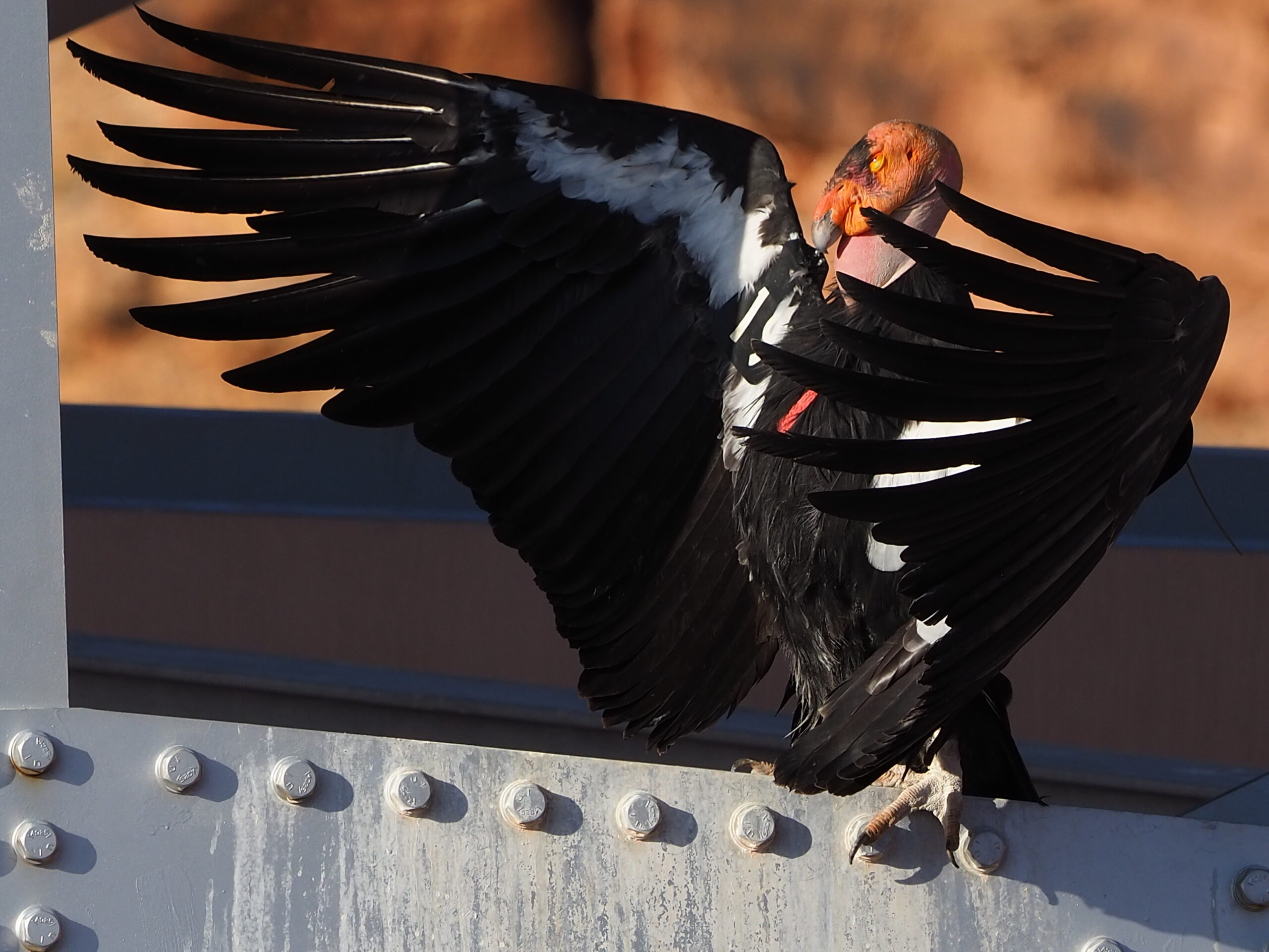
In personal news, this Labor Day weekend, I drove off in search of California Condors! My quest took me through the mountainous Kaibab National Forest, where I was surrounded by an entire new ecosystem full of new critters and lovely landscapes. I found my condors at the Navajo Bridge near Marble Canyon, AZ. These giant birds sit under the bridge, resting and soaking up the sun. Seeing them was one of the coolest nature experiences I have ever had!

California Condor sunning itself in the early morning.

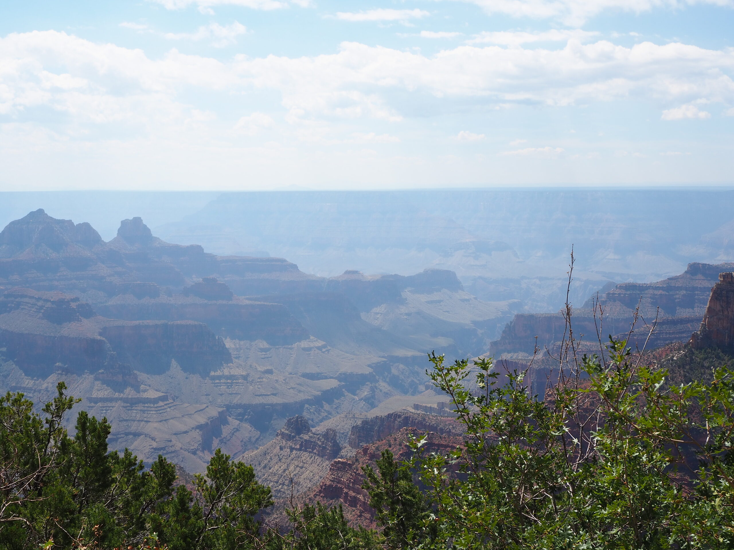
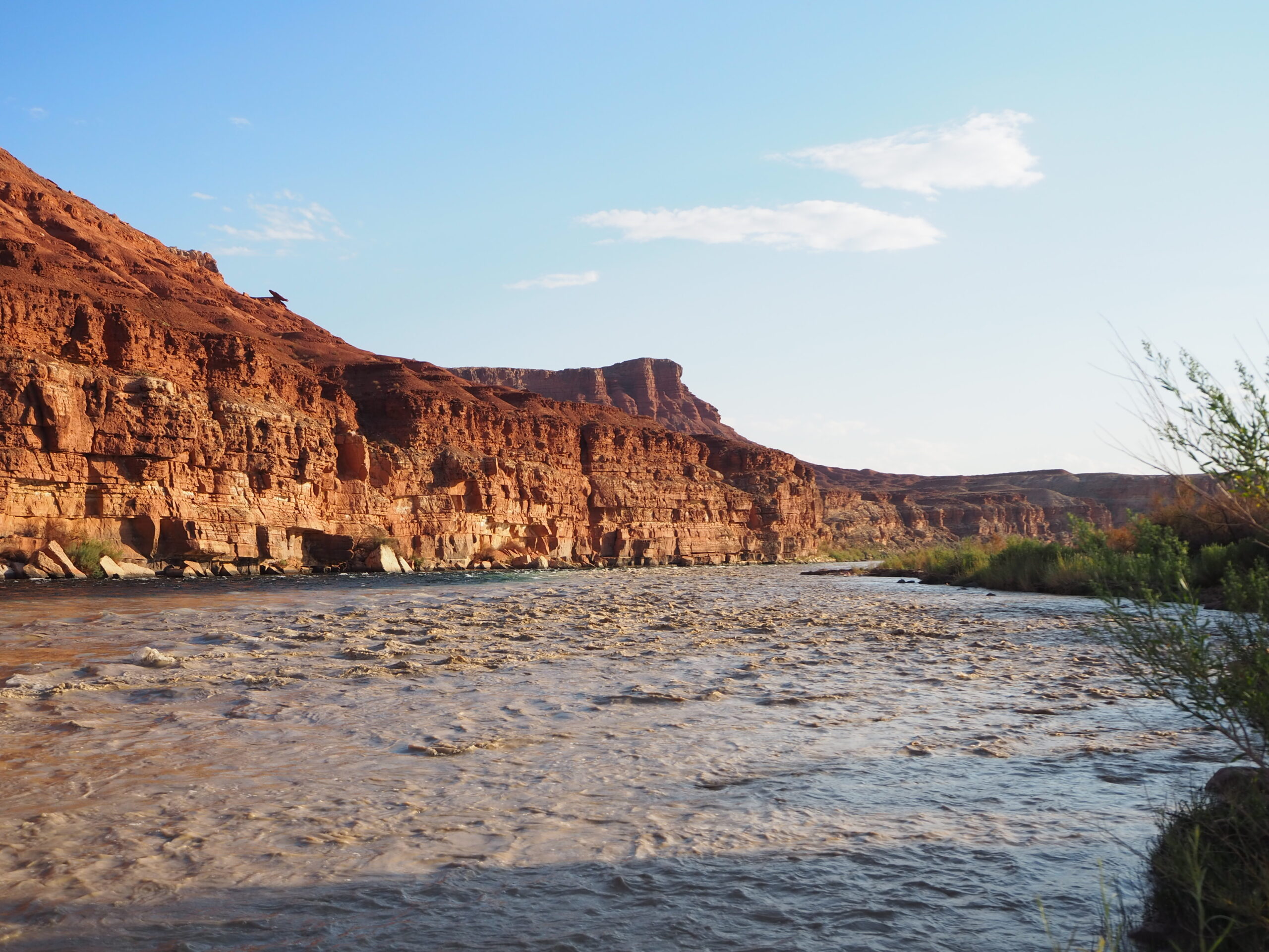
While in northern Arizona, I also saw some lovely landscapes including some views of the North Rim of the Grand Canyon, and the red cliffs further east, including the Vermillion Cliffs and the Lee’s Ferry area.

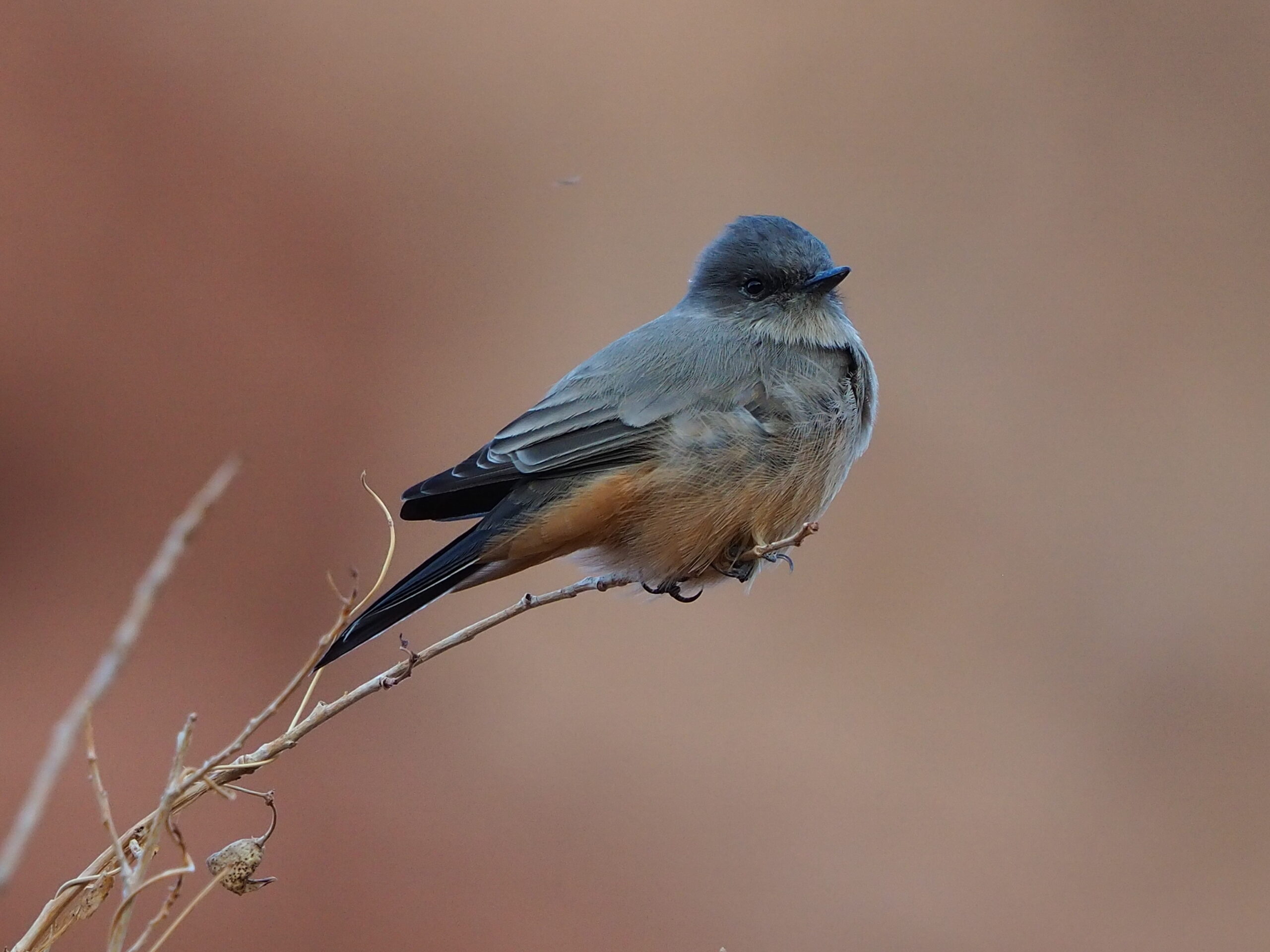
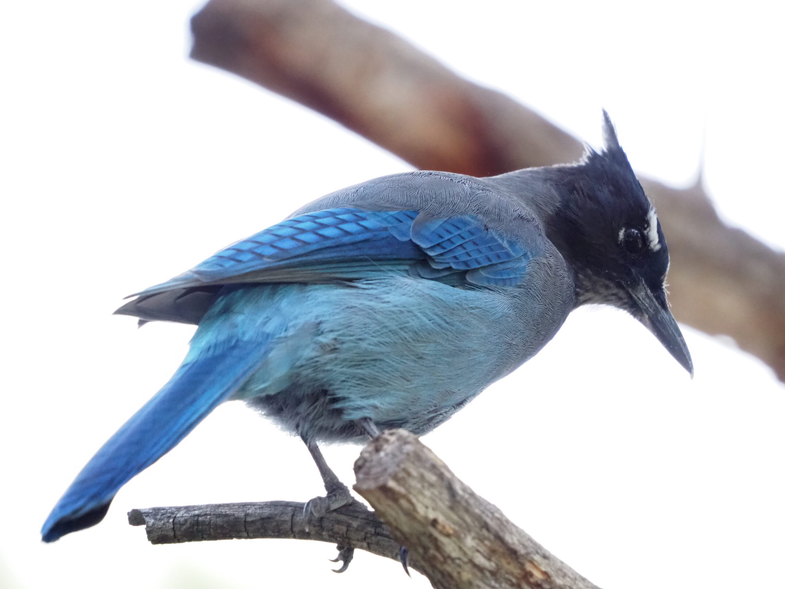
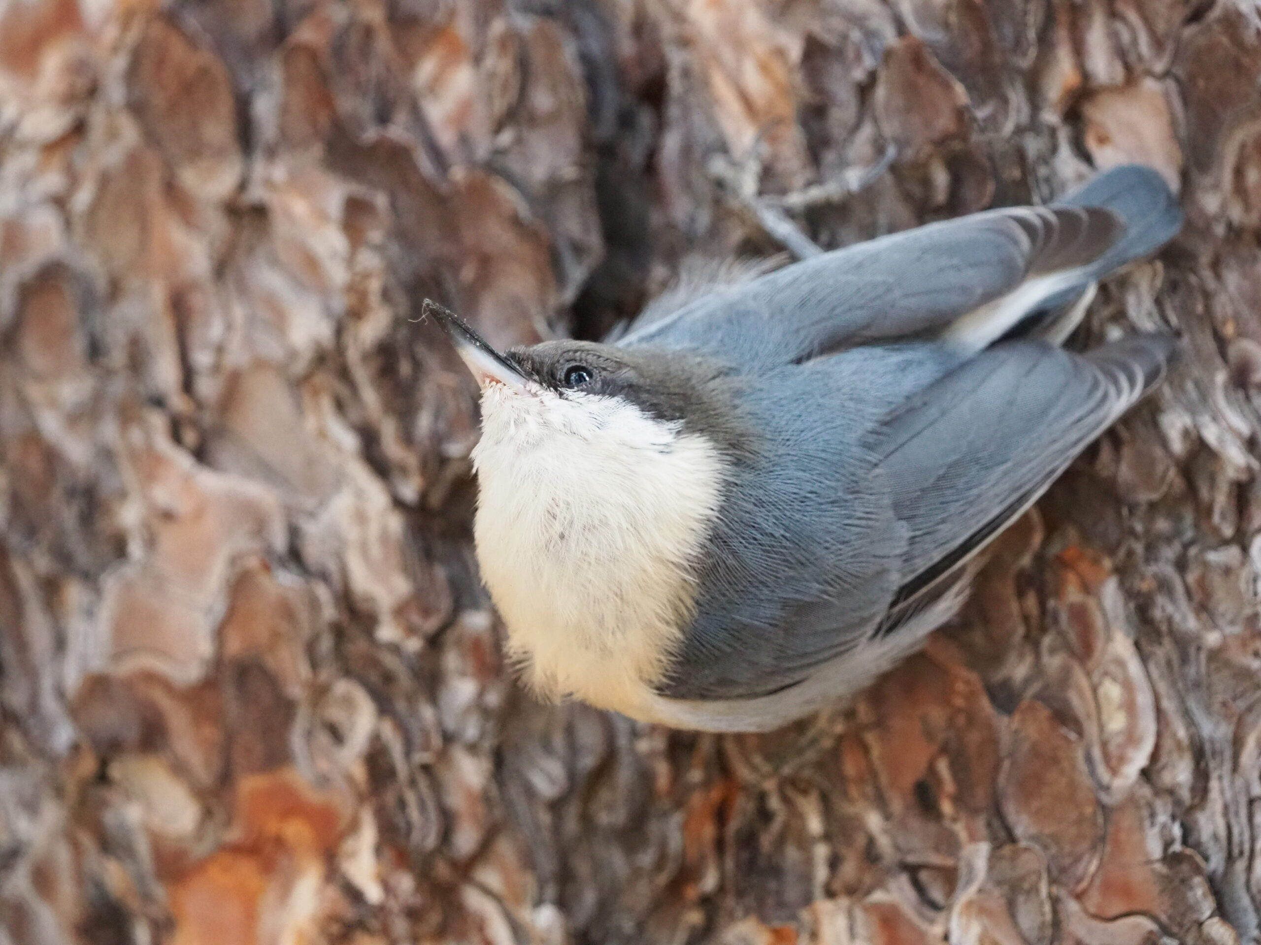
Lastly, I have included some of the lovely wildlife I spotted on my trip around Arizona. Not only were these areas beautiful, they were also loaded up with vibrant communities of plants and animals! Thanks for reading, see you next month!

Pygmy Nuthatch at the Grand Canyon

Collab: Winnemucca x Reno SOS Crews

Hi CLM blog, happy September!

My September has been eventful in terms of work and the fun of meeting new friends on the job! This month I’ve been working with two Seeds of Success crews based out of Reno on two separate hitches. It’s been a great experience, being part of a team of five rather than a solo intern like I am usually. The routines of longer hitches that can span much of the state over several days contrast the single-day trip, Santa Rosas-focused seed collecting that I do when I’m on my own and it is cool to have been able to see both ways of working over the past few months. Here I’m going to share a lot of pictures and some of the things working with Grace, Hannah, Jenna, and Amy helped me reflect on!

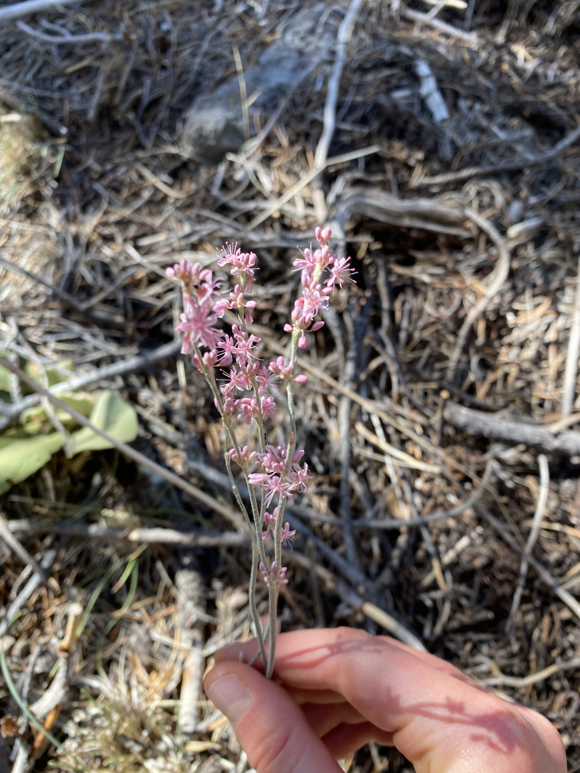
An Eriogonum sighting to start us off––my tentative ID is E. racemosum!

1 – Being flexible

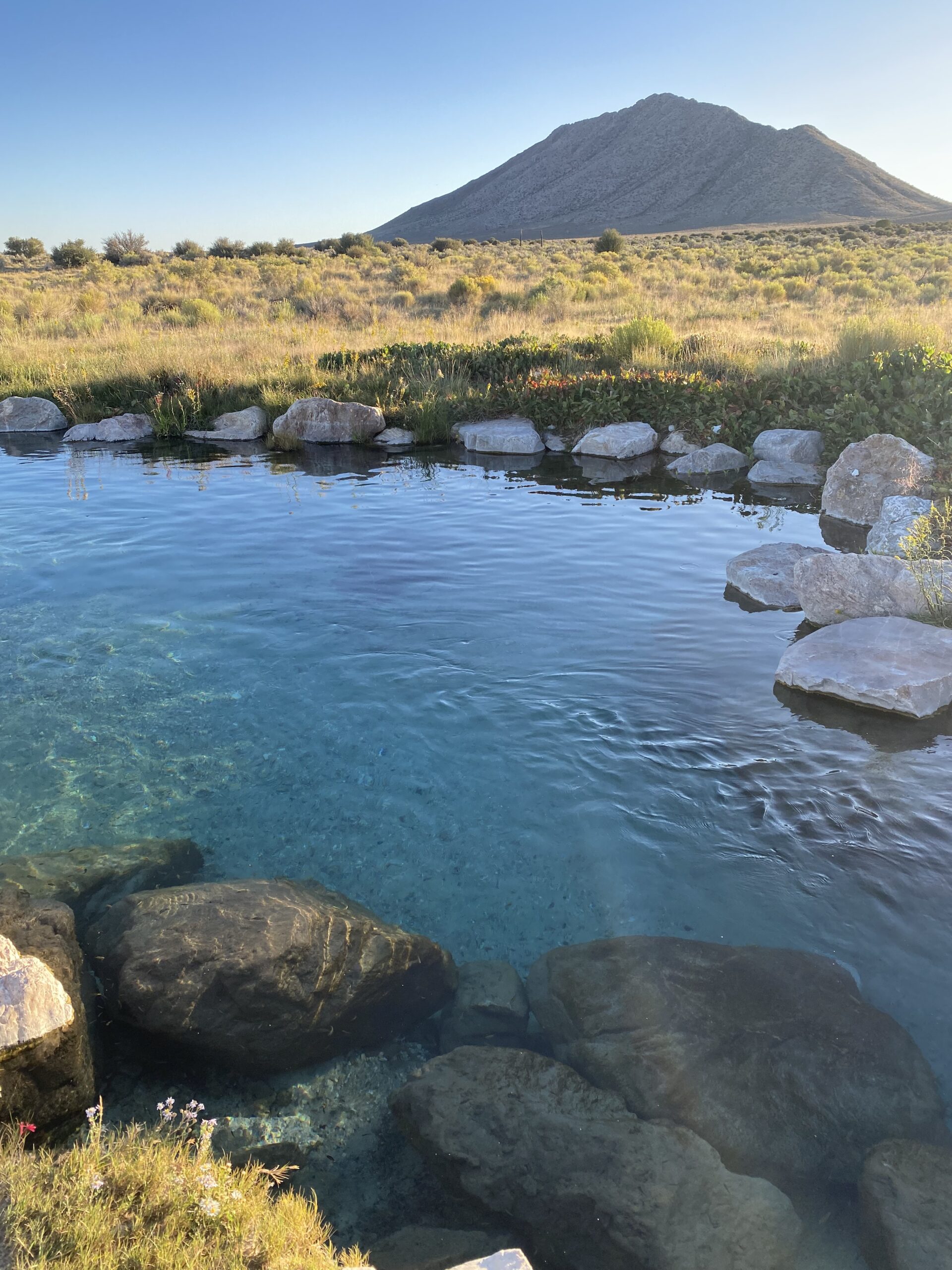
Hot spring near Lund, NV. This is the one with little fish that nibble on you while you’re in it!

Being flexible helped make our first September hitch a successful trip. We changed our travel plans fairly last-minute to avoid the fires in California and then again to avoid the smoke blowing across Nevada, and both decisions paid off as we were able to conduct worthwhile fieldwork in safe areas and less smoky locations. The plan we decided on involved mainly scouting for and monitoring rare plants at sites across Nevada, traveling in a counterclockwise loop around the state and working in the Austin-Tonopah District and the Ely District of the Humboldt-Toibyabe National Forest, Great Basin National Park, and the Ruby Mountains. In perfect symmetry with Sierra’s and my earlier trip to the Bull Run Mountains with Jerry Tiehm and Jan Nachlinger, the two species we surveyed on this trip were Eriogonum tiehmii––Tiehm’s Buckwheat––and Silene nachlingerae––Nachlinger’s Catchfly––both rare species. E. tiehmii is a very rare species that grows in a small area that is the site of a proposed lithium mining project, so the species is pretty threatened (it may get added to a list of threatened/endangered species; stay tuned because this is a contentious issue). One of our crewmembers, Jenna, is studying the evolution and speciation of the Silene genus for her Master’s research and this was the last Silene species she had yet to find and collect data on in Nevada, which we were able to do on this trip! It was cool to do some rare plant work as a change of pace from collecting seeds on this trip.

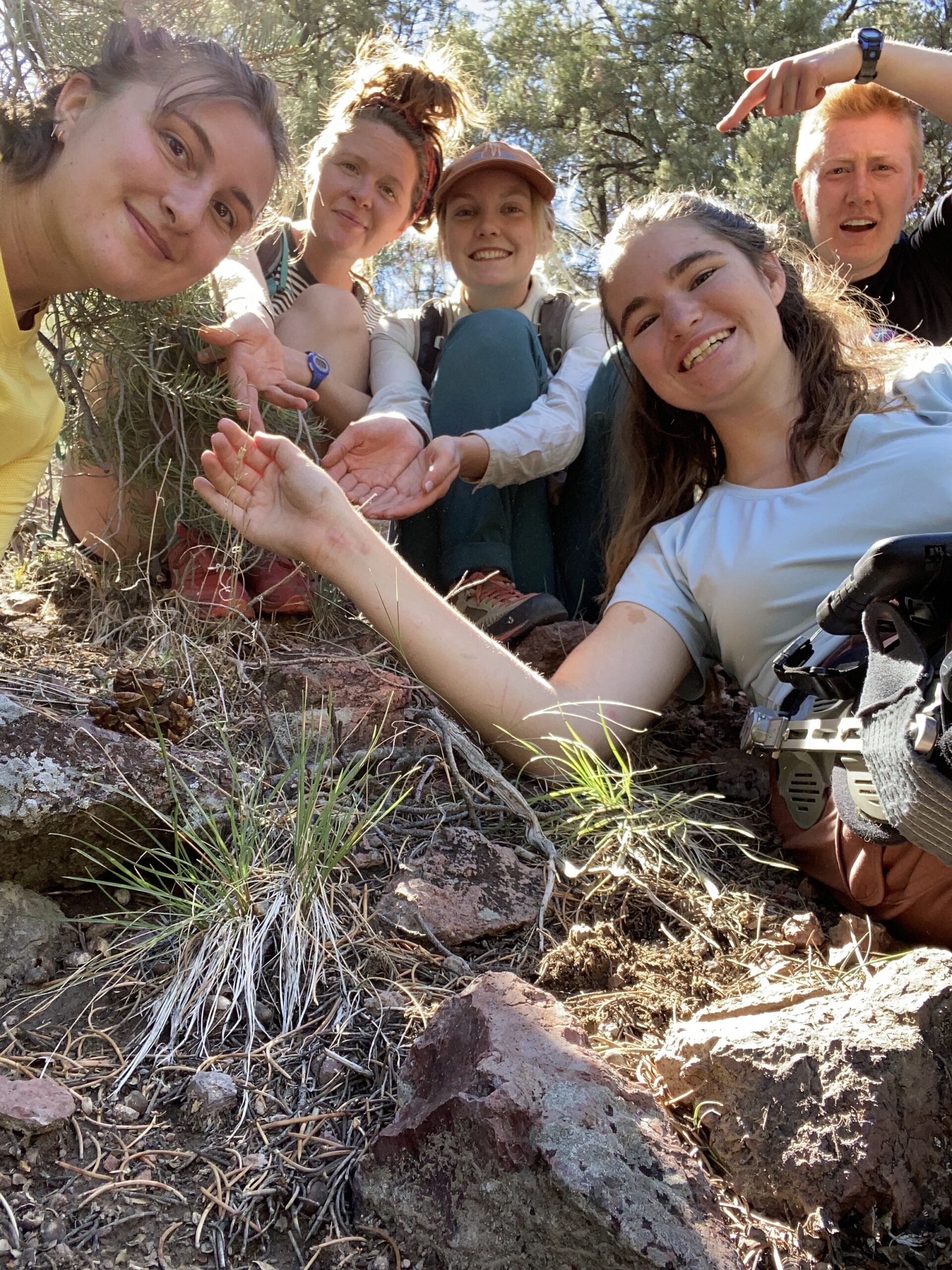
The gang poses with Silene nachlingerae, a rare native plant that Jenna is studying for her Masters research! It’s all dried out and done flowering now, making identifying it an extra challenge but we did it with confidence!

2 – When to take risks and when to back off

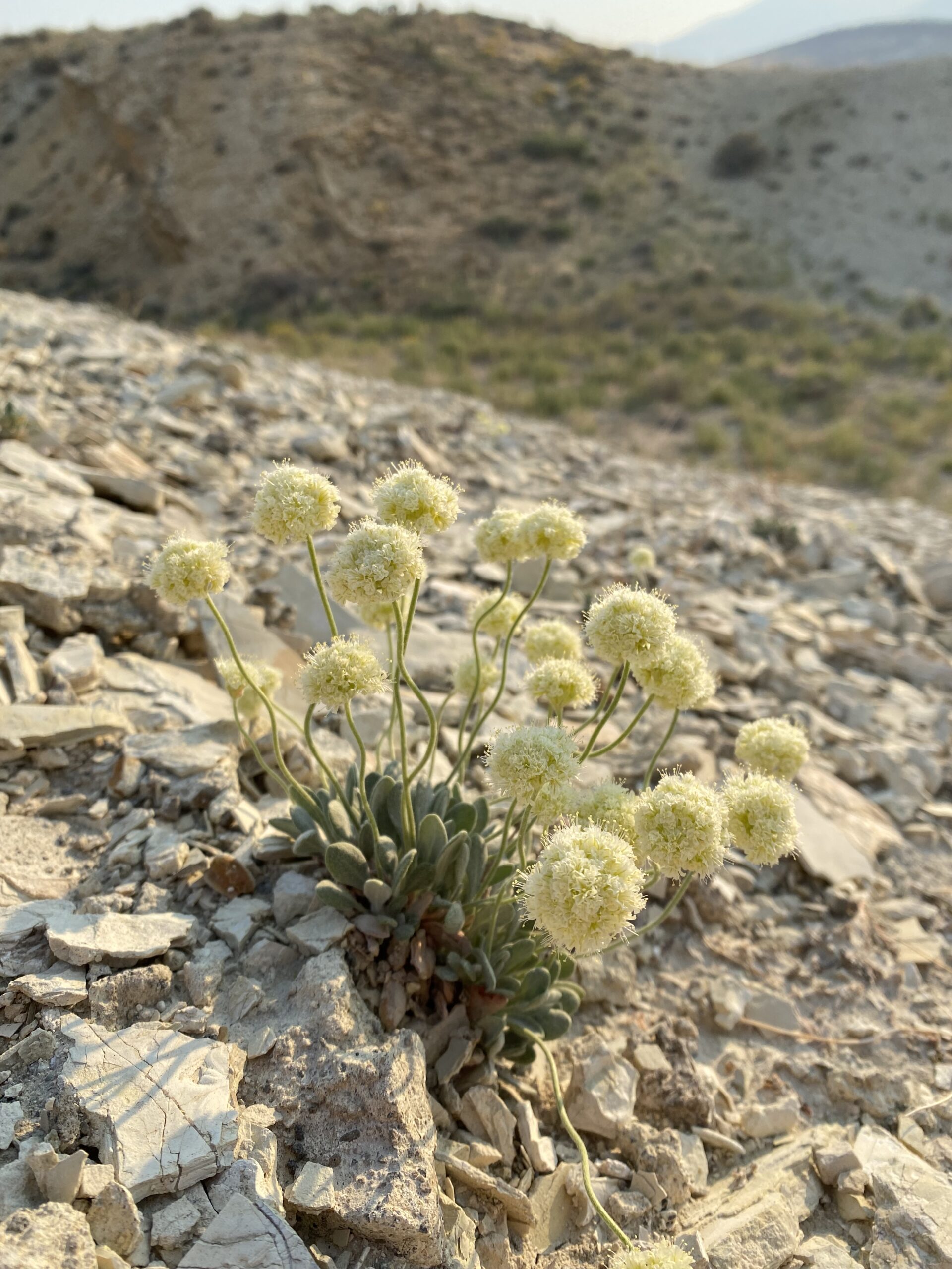
An abundant Eriogonum tiehmii plant. Another very rare species!

On the same hitch we encountered both roads on which we proceeded with caution and roads that we decided to turn back from. Our big success for challenging road navigation was near Great Basin National Park, climbing a road with extremely tight switchbacks (we’re talking having to reverse the truck after making half the curve to get the rest of the way around it, and doing this for at least ten switches one way) that maxed out at around 10,000 feet in elevation for some Silene scouting (of course I was especially proud of getting to the top, since I was the one driving!). In contrast to this achievement, we faced an unassuming, sandy road we hoped to use to access another Silene population in the southern Ruby Mountains and after cautiously heading out on it for a few miles, decided to turn around because the truck was handling poorly on the sandy surface. You win some, you lose some when sites are remote and accessible only via roads that can be hit or miss depending on the conditions. It’s satisfying to get to the top, but it’s not worth getting stuck or busting up your truck either! Operating with slightly more caution than I do when it’s only my judgement determining what I do was a good check for me that I hope will be on my mind in future situations.

A hot bath after work!

3 – Building a successful trip around both work and fun

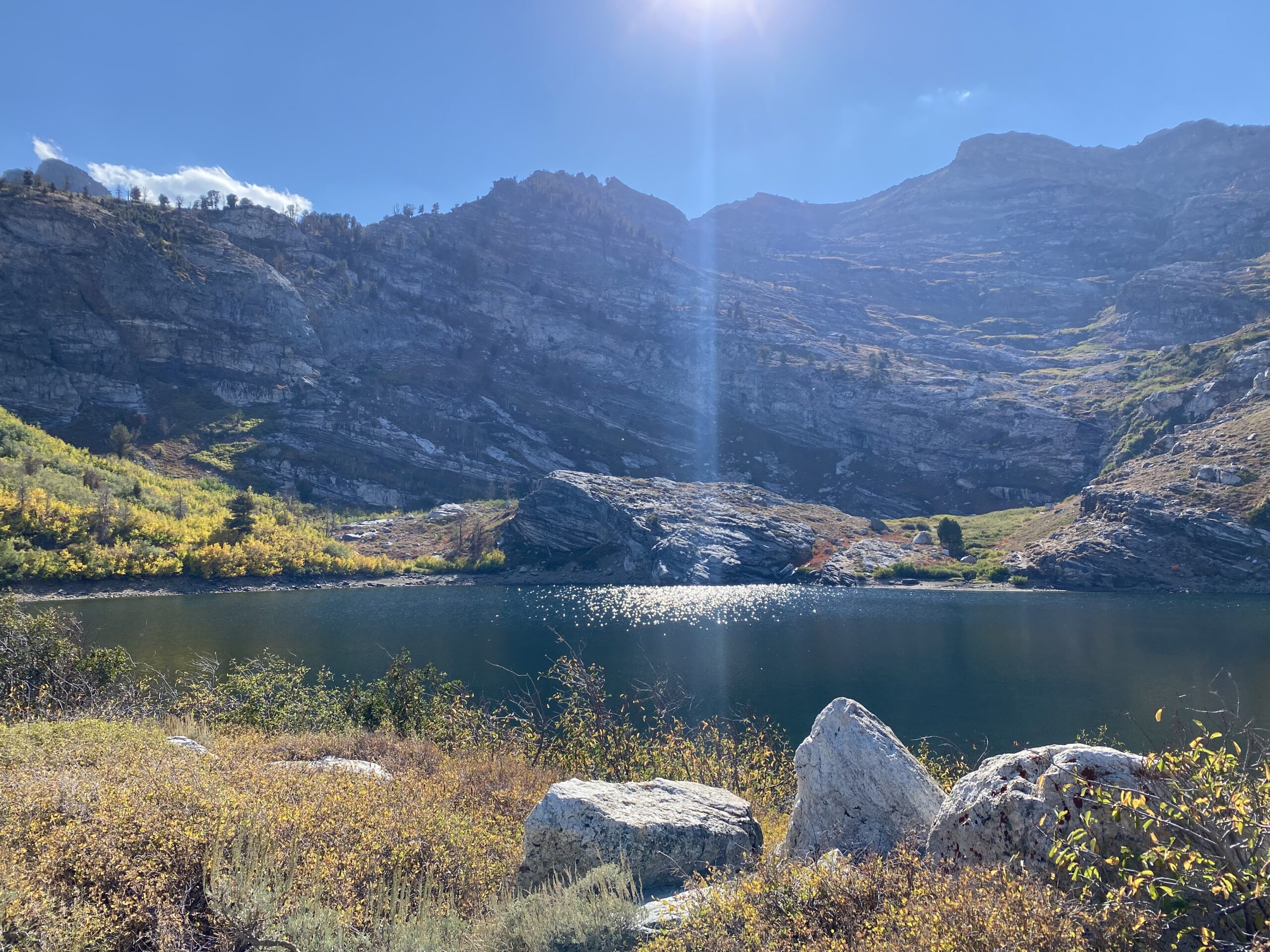
Angel Lake in the Ruby Mountains. In contrast to many of our camping spots, not hot water but an enjoyable swim nonetheless!

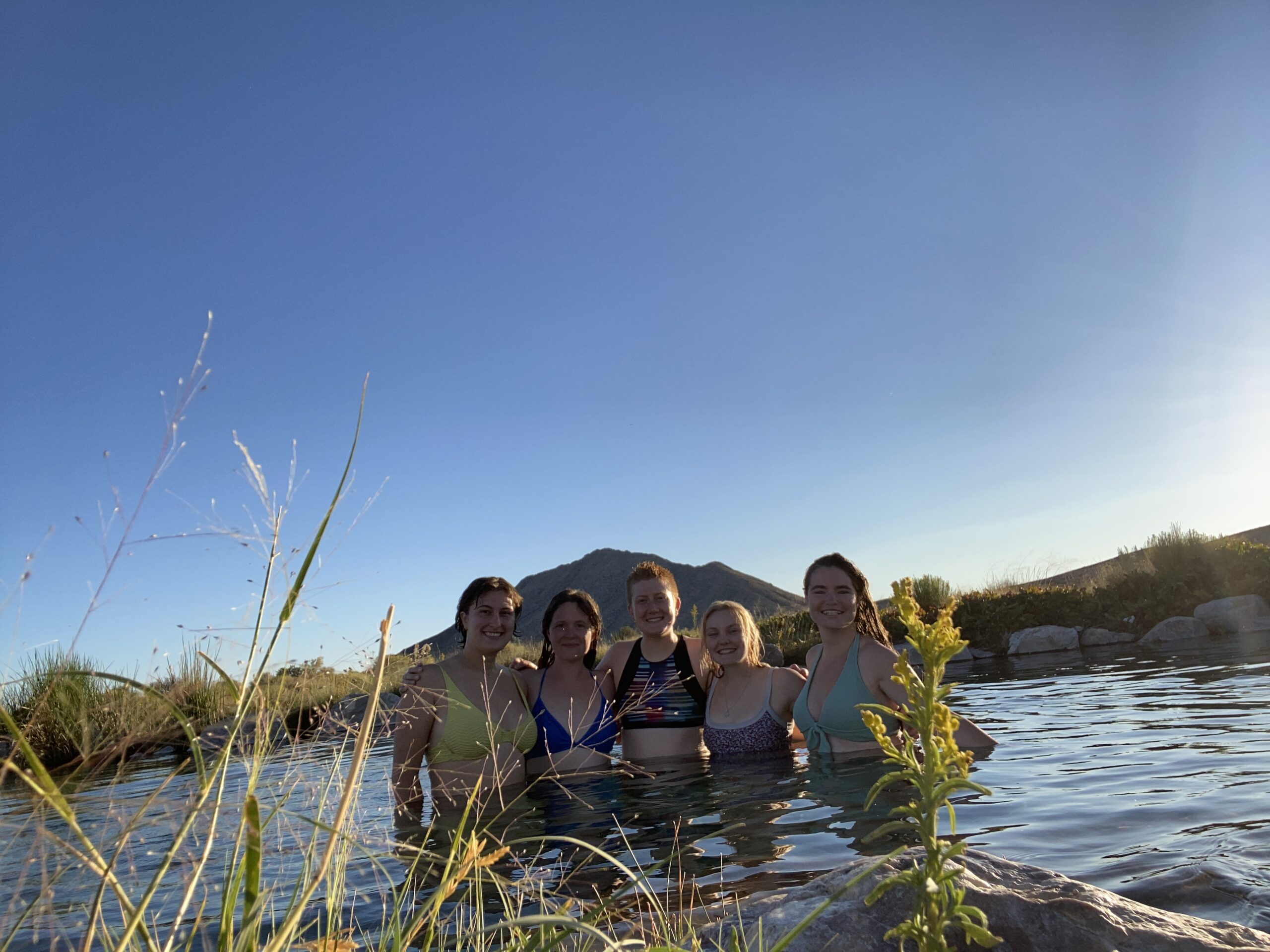
The Reno crew of Jenna and Amy took the lead on planning for both these trips, which I appreciated, and learning the ways that both these crews operate on their longer hitches was a new experience for me, namely having a group of fun and nice people both to work with and to hang out with after hours in the great outdoors. They introduced me to one of the joys of Nevada SOS work that I’d heard tell of but so far missed out on––hot springs. And they were just as awesome as everyone had said! We visited three different hot springs on our first hitch and found them all fairly quiet, with only a few other visitors if any. All were warm but varied in temperature, developed-ness, water clarity, and ecosystem type. One was more developed with a concrete hot tub installed to hold some of the spring water, one had very clear water and flowed from a snaking hot creek into a marsh, and one was in a valley with a mud flat-type ecosystem. All had great views of the stars. The most memorable hot spring experience for me was the second one, which was home to minnows that liked eating dead skin while you were sitting in the water. Specifically, I will never forget the feeling of a small fish taking one of my more protruding armpit-adjacent moles (lots of us have those, right??) in its raspy mouth and shaking it back and forth insistently, like a dog with a chew toy. Just like you were at a spa.

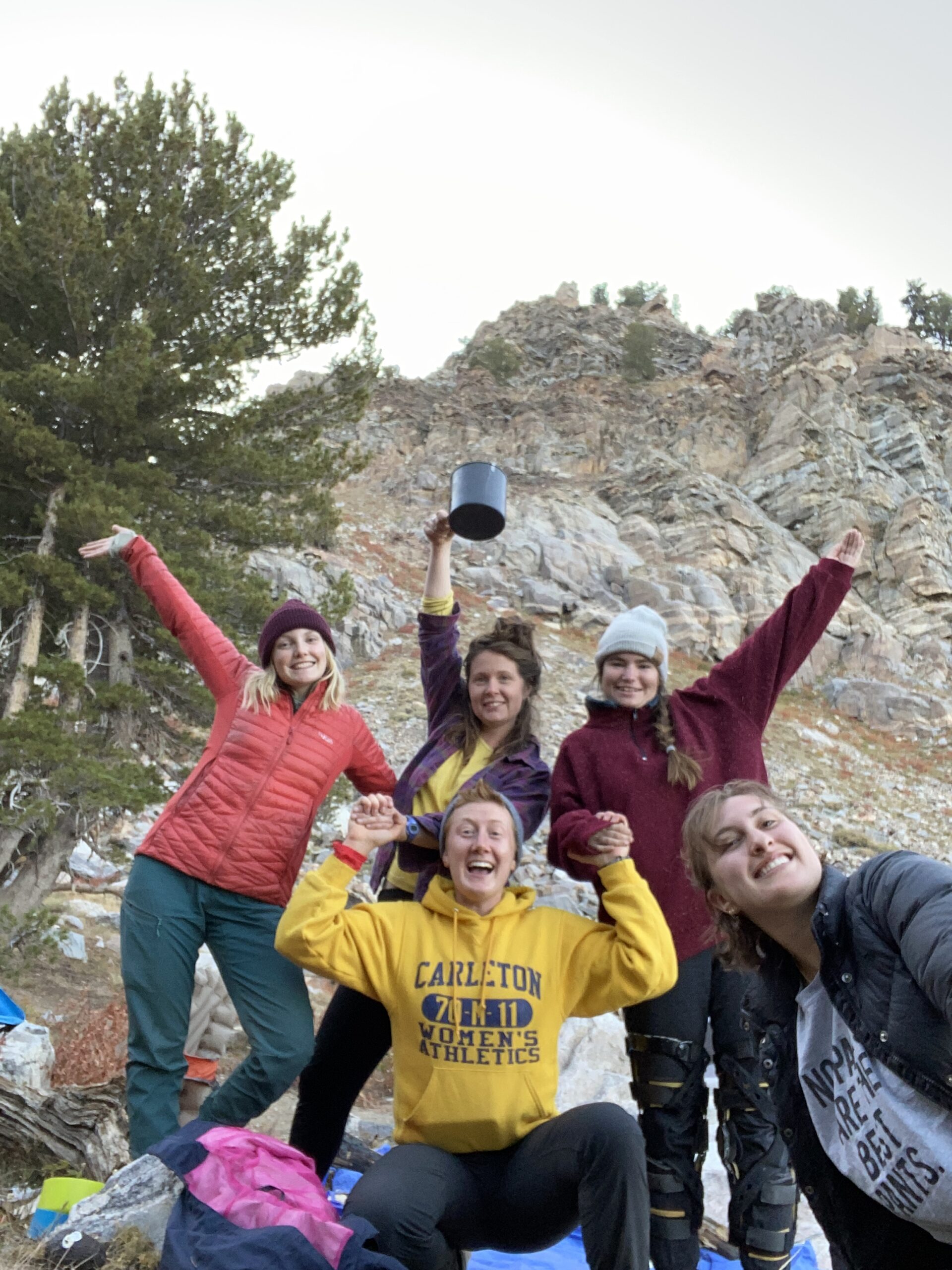
We had plenty of other after-work fun too, including playing cards, telling stories, taking hikes, and generally enjoying each other’s company! I was so thankful to get to know a group of such friendly, open, and interesting women and both work and just hang out with them. It was also amazing seeing what dynamic duos each of the two crews were; I couldn’t believe how lucky they (and their supervisors) got when hiring crews for this season––in both teams the co-interns complemented each other well, and were great at communicating, getting along, and having a good time with each other, all of which makes any job much more enjoyable! I was also super glad that these dynamics expanded to make a well-functioning and happy team of five.

I’m thankful to Amy, Jenna, Grace, and Hannah for an awesome few weeks and am excited to meet up again in the future!

And that was my last few weeks! Next week I will be leading a collecting trip with a couple of SOS interns from Boise, so I’m hopeful that will be another fun and learning-filled experience.

Lastly, a moment to thank the folks at the Forest Service in Winnemucca where I’m based:

-Thanks to Boyd for being my check-in person the last few weeks(/months?) and for always being a chill and reliable presence at the office.

-Thanks to Wendy for helping me mail my seed collections even when she’s working on a fire in another state!

-Thanks to Sierra for trusting me to do my own thing while she’s been working on fires and for the super nice write up in the local Humboldt County newspaper! 🙂

Farewell to Summer of 2021 and the Lincoln National Forest

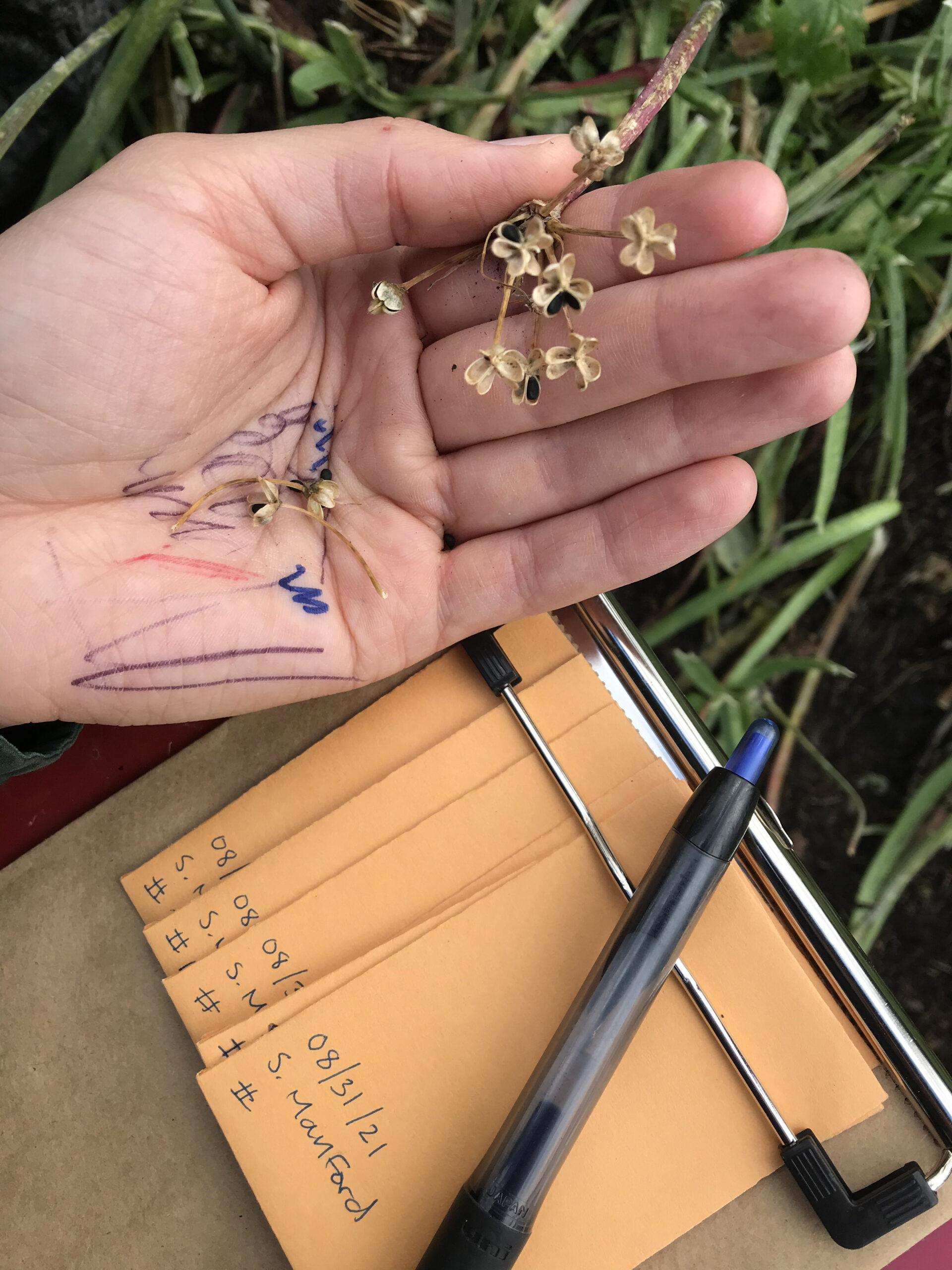
My Summer 2021 sun is beginning to set and I’m taking stock of everything I’ve accomplished during my internship in the southwest. I have really appreciated my time here in the Lincoln National Forest. It’s been great to be a part of a large team-oriented crew. The botany and natural resources teams joined forces this year and with a combined crew of six, we surveyed close to 11,000 acres of National Forest land over a three month period for regionally sensitive, threatened, and endangered plant species.

Crewmembers left to right: Natasha Khanna-Dang, Megan Tunon, Ashlyn Lythgoe, Joseph Ure, Vanessa Hernandez and Shelby Manford

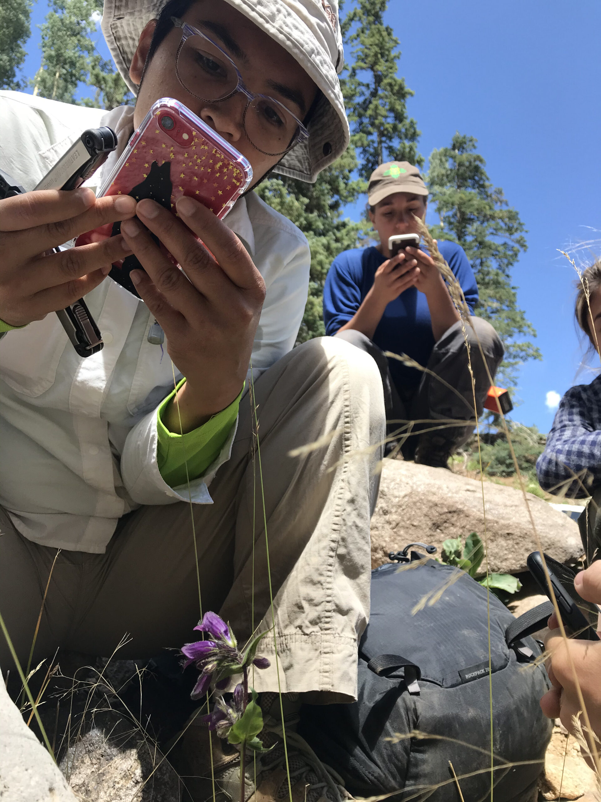
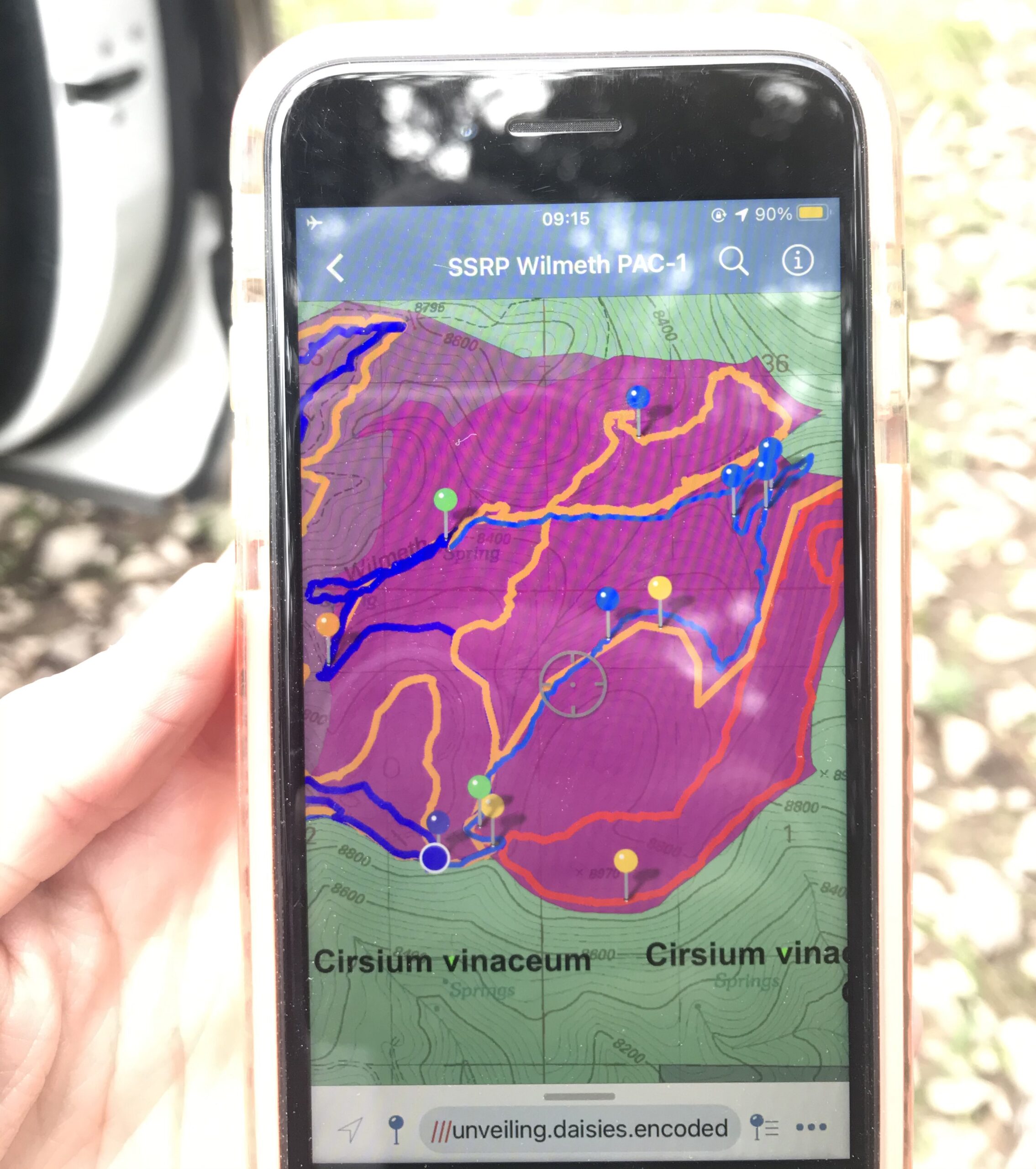
At the end of the season, I honed my skills of reading topographical maps, using Avenza to navigate and surveying the forest through the rain, heat, dense foliage, steep muddy slopes, and countless fallen trees. This was also my first time learning how to key out plants in the field without the help of a thick paperbound dichotomous key and microscope. Instead, I identified many plants with the help of my handy smartphone and a combination of my crewmembers’ knowledge, the Seek by iNaturalist app, the Flora Neomexicana PDF file and the Wildflowers of New Mexico app. Having a smartphone with all the botany related apps has really been a game changer.

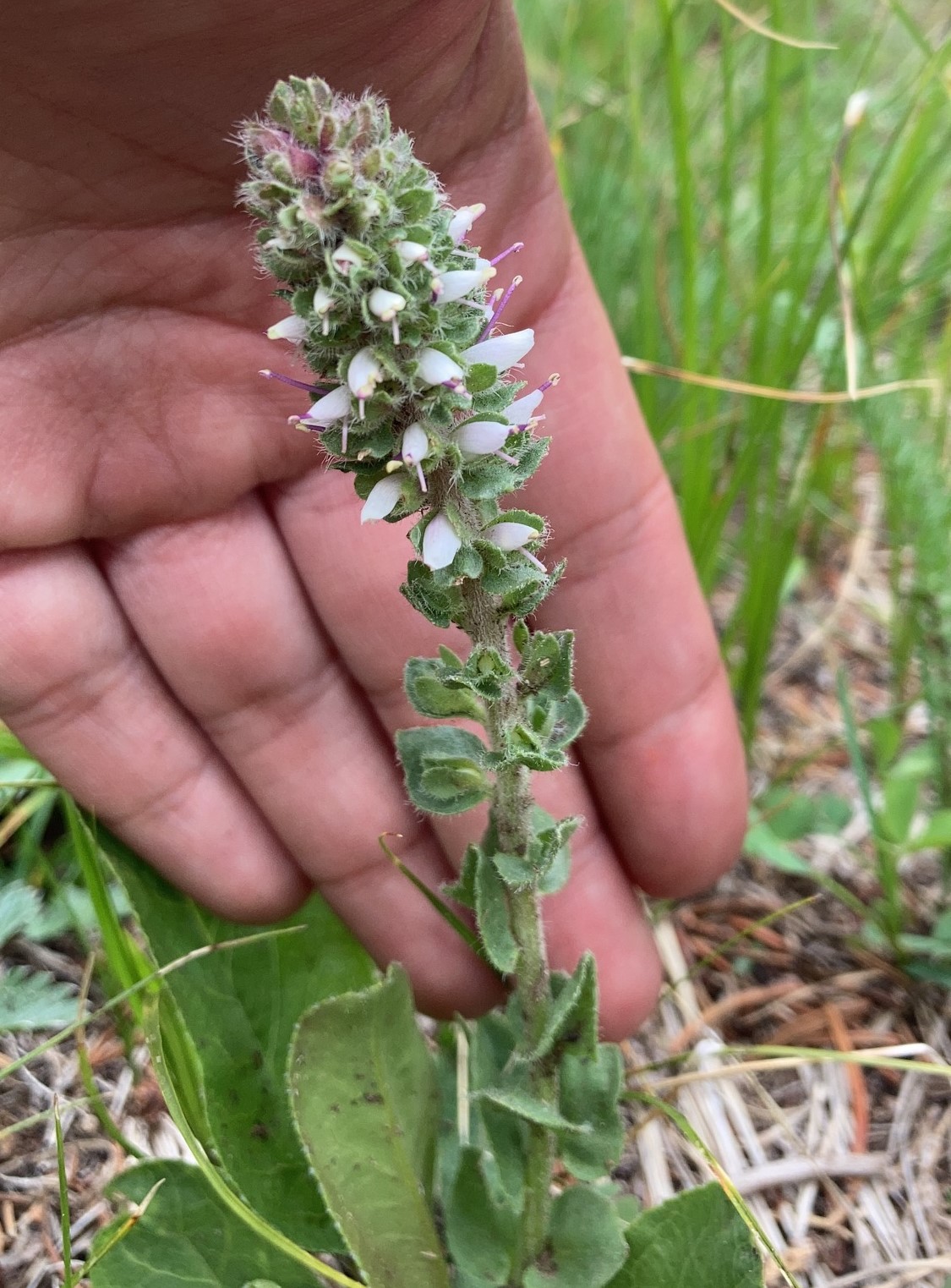
One major takeaway for me is that most of the land we surveyed is not ideal habitat for any of the rare plants we were looking for. As a result, we did not find many new populations of rare plants. However, I did get to see what vegetation looks like in a forest that is heavily grazed by cows, wild horses, deer and elk.

I also got to participate in riparian restoration projects and learn about the importance of watershed management in an environment that has been severely altered since the times of settler colonialism. By working with the Forest Hydrologist, Pete Haraden, and Soil Scientist, Jennifer Hickman, I learned what actions are needed to restore eroded riparian areas.

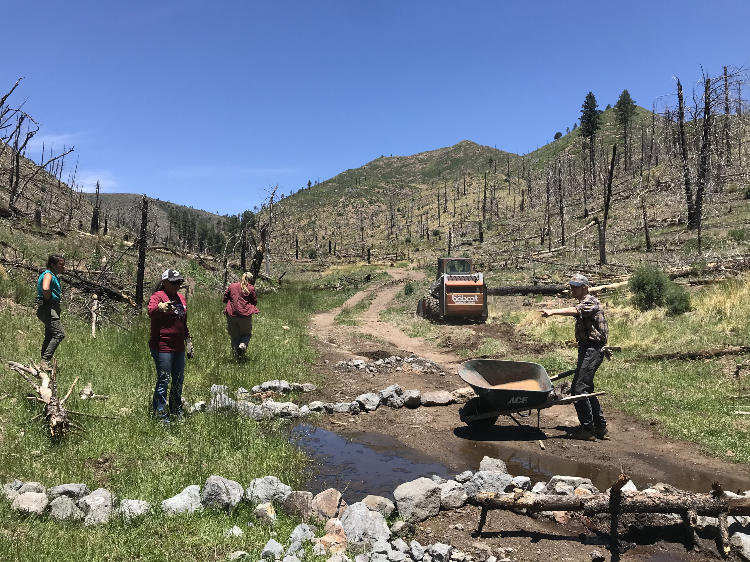
Building one rock dams to restore a riparian area that was severely disturbed by an illegal road.
Photo credit: Shelby Manford.

With the extirpation of beaver by fur trappers last century, a lot of the natural wetlands that were created by beaver dams were lost through erosion, fire, and time. Additionally, a lot of the natural vegetation that traps water has been either heavily grazed or burned in many parts of the forest. This leads to fast running water and deep cuts in drainage areas and canyons that many a time look like chasms. As a result, many of the creeks and streams tend to run fast and dry up quickly after the rainy season, resulting in a low water table and decreased water holding capacity of the surrounding soils. Additionally, the surrounding area’s vegetation frequently converts from riparian species to upland species, which also contributes to the decreased water holding capacity in the adjacent soils.

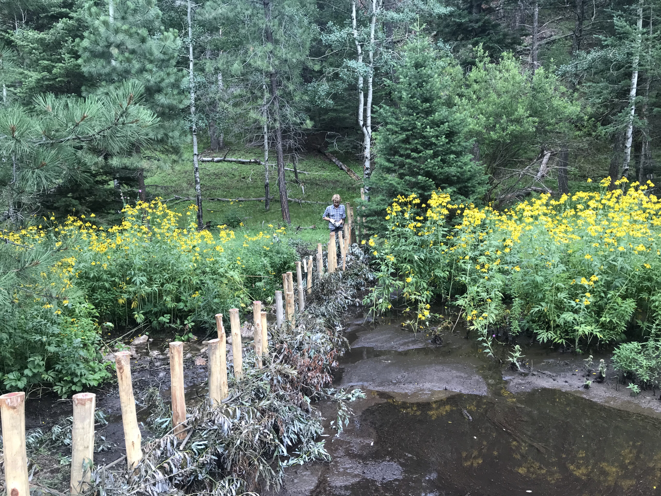
Crewmember Joseph Ure helping to weave willow branches to create the beaver dam analog. You can see the water is beginning to pool up. Photo credit: Shelby Manford.

If a stream or creek is properly restored, it could have water that runs all year long. A healthy riparian area should have slowly meandering creeks and streams that have room to pool up and create ponds and wetland habitat in some areas. The water will also easily flow onto the adjoining wetland under proper functioning conditions. This allows the water to recharge the aquifer and get absorbed by soils in and around the canyons. A restored riparian area could possibly sustain not only the local habitat and wildlife but also local industry and human communities with water throughout the year. Our restoration efforts consisted of building beaver dam analogs, one rock dams, and Zuni bowls.

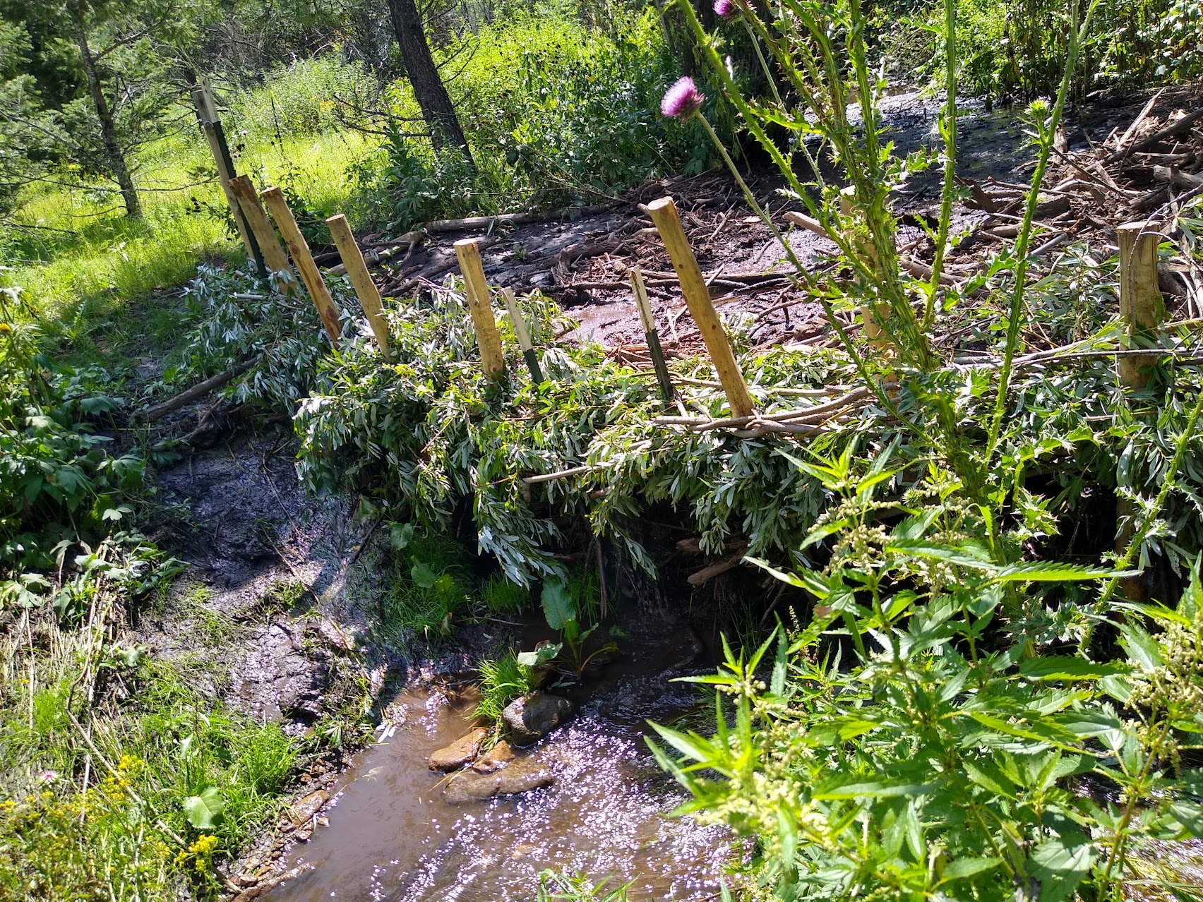
Beaver dam analog in action. Photo credit: Shelby Manford.

Another project I’m happy I got to work on was restoration for the endangered Sacramento Mountains checkerspot butterfly (Euphydryas anicia cloudcrofti). I worked with the Regional Botanist, Kathryn Kennedy, for the Southwest Region of the U.S. Forest Service and Melanie Gisler, the Program Director for the southwest office of the Institute for Applied Technology. This butterfly is a candidate for federal listing and there is concern for this species ability to persist, as its population numbers have declined in recent years. In 2020, only 8 butterflies and no caterpillars were observed.

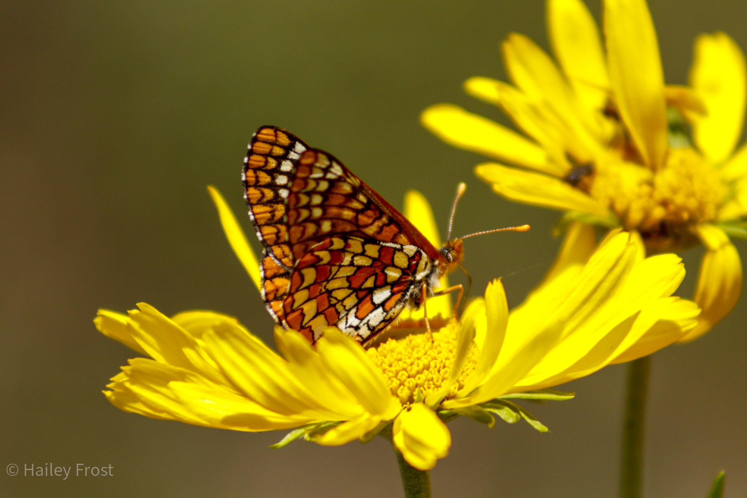
Sacramento Mountains checkerspot butterfly (Euphydryas anicia cloudcrofti) on an orange sneezeweed (Hymenoxys hoopesii). Photo credit: Hailey Frost who surveyed for these butterflies.

Based on these survey results, a coalition of conservationists from the U.S. Fish and Wildlife Service; the U.S. Forest Service; the Institute for Applied Ecology; and concerned members of the public; have been collaborating on how to save this species. We got to work on planting the host plant – the New Mexico beardtongue (Penstemon neomexicanus) which is the only host plant for the butterfly in is egg and larvae stages. On a more positive note, this year’s survey for the Sacramento Mountains checkerspot butterfly have revealed the presence of 22 butterflies and 80 caterpillars on the Sacramento Ranger District of the Lincoln National Forest.

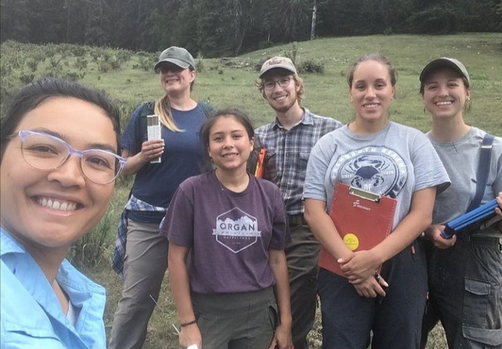
During one of our vegetation monitoring days at Bluff Springs. Left to right: Natasha Khanna-Dang, Vanessa Hernandez, Ashlyn Lythgoe, Joseph Ure, Megan Tunon and Shelby Manford.

I would like to thank my mentors Aurora Roemmich and Megan Friggens for providing such a great internship opportunity. Thank you to Pete Haraden and Jennifer Hickman for teaching us a little bit about hydrology and soils. Much appreciation to my crew members for providing camaraderie and support throughout the season!

Restoration on the Mon Pt. 2!

On my last post, I talked a lot about one type of restoration project that can be found on old, mined lands within the Monongahela National Forest and in Appalachia, but not all restoration projects that take place on the Monongahela are like the one I described last time. A lot of restoration consists of smaller scale projects like invasive species removal in locations all around the forest, campsites, and roads including scenic highways. Removal of invasive species can include projects like hand pulling of herbaceous species like garlic mustard, using loppers to cut down larger woody shrubs, or spraying foliage and/or cut stump herbicide to get rid of other species. This removal is important to do regularly because it keeps invasive species from spreading throughout the forest and taking resources away from important native species.

A third restoration technique to help support the growth of native species in Appalachia is fire ecology. This is an interesting land management tool that can be used to rejuvenate certain ecosystems and allow the growth of healthy forests. Some ways to make the forests healthy is through reducing leaf litter and downed limbs to increase the habitats to promote the growth of native plant diversity. Specifically, fire can be used in Appalachia to help maintain the oak and pine forests to increase the openness of the forest understory, creating sunlight to the forest floor, and promoting seed germination. It can also help reduce the completion of survival of competitive species by limiting the growth of these competitive tree species like red maple, tulip popular, and white pine which tend to out compete some of the other species when there is an absence of fire. It can promote the native grasses and wildflowers, thin crowded forests which can help prevent disease and insect pest outbreaks and it also increases the food abundance for native wildlife like bears, deer, and birds. It had been seen through surveys that with a lack of fire implementation there has been diminished oak and pine regeneration, and lack of herbaceous groundcover from their historic range of variability.

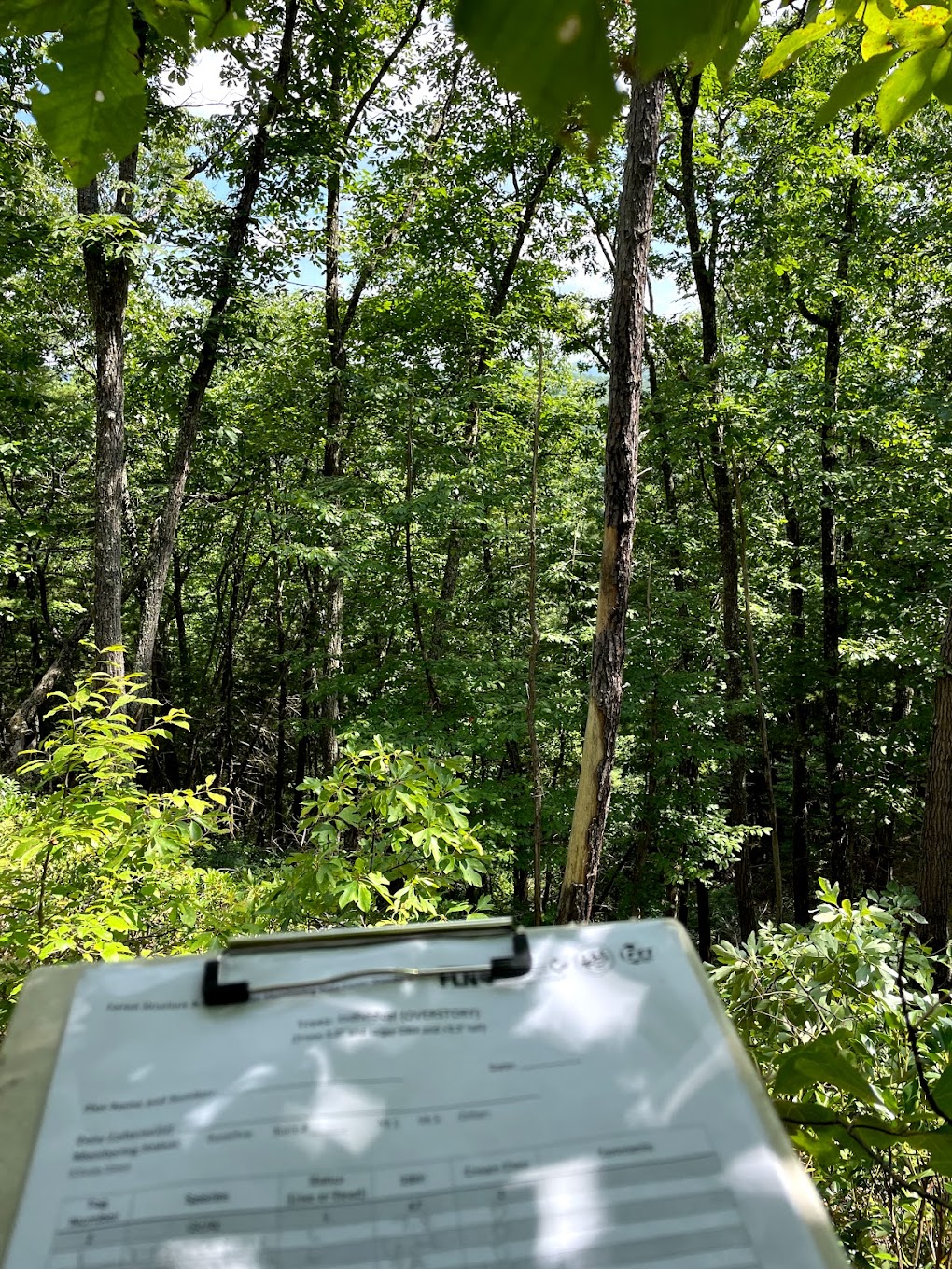
Me recording tree information for a pre-burn survey.

When it comes to the National forests in Appalachia, fire ecology is used specifically to increase the native diversity. The past couple of weeks I have had the opportunity to help with the pre and post burn tasks and learn a lot about fire ecology in practice. For these tasks I helped with pre- and post-burn surveys of the fire plots. Using a GIS software, the survey location within the burn units was randomly selected and was given to the forestry tech to record the pre-burn survey. This survey includes recording the canopy cover frequency, ground cover frequency, woody shrub density, and the trees in the area. This is an important step in the prescribed burn process so that there can be a baseline of the vegetation within the burn unit to compare the post-burn surveys to in the future. The post-burn surveys typically happen in the growing season within six months after the burn, a full year after the burn during the same season as the pre-burn surveys took place, and then another survey five years after the first burn. These post-burn surveys are important to compare the vegetation growth within the burn units over the course of five years.  

Assisting with both the pre- and post-burn surveys has been extremely interesting because it has given me the opportunity to look at another form of land management that is taking place in the Monongahela. Within the forest service, fire ecology has been a recently new technique to use for land management. The methods and research on prescribed burns continues to evolve and being able to help with the surveys allowed me to gain insight on how land management continues to improve over time with research and practice. I have been able to learn so much from working with the fire team and look forward to continuing to help them on their surveys and learn more about prescribed burns within the Monongahela!