Hello again, CLM.
While there are no visible changes, it feels good to be back as a CLM intern after a two month hiatus. During which, I was emergency hired as a real-life BLM employee in order to work extended hours on the lengthy Emergency Stabilization and Rehabilitation (ESR) process. Collecting seed and monitoring special status plants quickly shifted to making maps and isolating future seeding sites with GIS. After the hubbub of the emergency planning calmed down, office work thankfully turned to field verifying potential drill seeding locations. While most would not think it difficult to locate 5,000 acres of drill-seedable land in a 315,000 acre burn, taking a few steps in our field office quickly makes you aware of the challenges. Merely calling our land rocky would be a rude and insensitive statement, undermining the truly vast network of rough, jagged, and seemingly endless expanses of basalt.
The selection of seeding sites went roughly like this:
First, areas of high elevation and minimal slope were selected in the office using GIS. These sites were chosen in order to prioritize locations with the greatest potential of fending off that nasty cheat grass, while also providing the greatest probability of successful seedling establishment. Sites were further isolated based on the accessibility of a rangeland drill, which you can imagine as an agricultural seeding tractor, souped-up for planting on the moon. Next, came the fun part of driving around in a UTV (again, think lunar golf cart) to examine the predetermined areas and decide if our astral tractor would indeed be able to safely traverse the rough and varied landscape that is the Eagle Lake Field Office. Although rather bouncy, the realization that my job required me to partake in an activity which civilians would, and often do, shell out hundreds if not thousands of dollars for, was quite comforting. At that moment, I was cognizant of how awesome my job really is. I also took solace in the fact that this fun was not being had purely for visceral enjoyment, but in order to stabilize soil, mitigate invasive species expansion, and rehabilitate habitat for a nearly federally listed species. Did I mention the snow and subsequent mud? No? Well that was awesome too. Furthermore, once the field-verified locations were GPS’d, the sites were ready for the contracted team of archeologists to start surveying the 5,000 acres. That is a group of passionate individuals whose jobs I certainly do not covet.
This leaves us at the current state of the drill seeding endeavor. Once the first patches of land are cleared by the surveyors, the actual drill seeding will begin. Although delayed from when it would have been ideal to start seeding, this IS the time in the high desert to initiate seed dispersal. The new appearance of moisture to the landscape allows for seed propagation and initial root development. The ephemeral blankets of snow provide both cover from wind erosion and albeit brief, reoccurring periods of soil saturation.
The multitude of factors contributing to such a seemingly minor endeavor makes the entire process lengthy. However, these steps appear necessary to ensure that the multiple resources are managed properly.
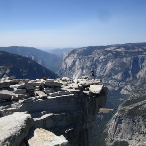
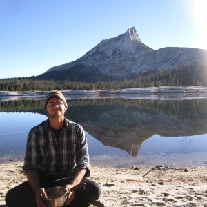
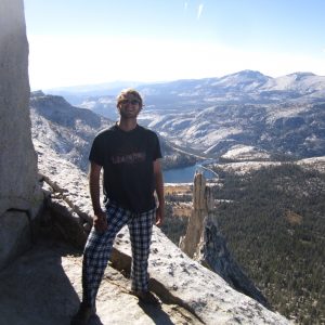
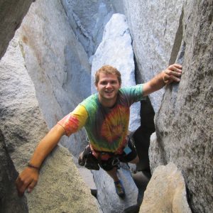
In addition to work, personal life has been great as well. Weekends have been punctuated by lengthy trips to Yosemite, Tahoe and South Eastern Oregon, during which I have enjoyed hiking, climbing, caving and camping. All of this really makes a kid from the Midwest truly thankful for our country’s varied landscape. Never stop the adventure.
Cheers,
Andrew
-

-
The stunning view from the top of Half-dome.
-

-
Breakfast at Cathedral Lake
-

-
Chilly vista at the top of Cathedral Peak
-

-
Exploring a chasm at Eagle Lake in Southern Lake Tahoe’s Desolation Wilderness


