
Fire Perimeter Map taken from www.geomac.gov
This showed all of the major active fires in our region. (If you looked at the link above, there is an interactive map. Click on North Central Washington State to see all of the fire perimeters.)
This month has been insane with all kinds of fire activity. This was considered one of the worst fire seasons in Washington State history, producing some of the largest fires ever! To the north of Wenatchee, Washington there were major fires burning throughout the area. One of the first fires that we noticed was the Wolverine Fire. We saw the smoke from the fire settle in the Columbia River valley for the past couple of weeks. As the humidity lowered and the temperatures rose daily, we started to have red flag conditions for our field office! Soon we started to get all kinds of fires. The First Creek Fire and the Reach Fire started near the Wolverine Fire by the town of Chelan. We were all very worried for the people that lived in this area. The Reach Fire eventually combined with other small fires in the area and developed into the Chelan Complex Fire!! This fire was near a lot of structures and firefighters did all they could do with fighting the fire and preventing structural damage.
To the north, there were larger fires in Okanogan County! The Okanogan Fire combined with other fires to develop into the Okanogan Complex Fire. This was considered one of the biggest fires recorded! Omak, Okanogan, and other smaller towns were directly impacted by this massive fire. Another huge fire to the east was called the North Star Fire. This huge fire was slowly making its way to the Okanogan Complex Fire, but has stopped short for awhile. They recently renamed the east fire of the Okanogan Complex Fire, Tunk Block. A fire near the town of Twisp claimed three firefighters. There was a memorial for them and many people in the surrounding communities sent their support for the families impacted by this lost.

Condensed smoke from the Okanogan Complex and North Star Fires.
With the Red Flag warning, the air condition worsen to the point we could not leave the office to go into the field. The red flag warnings made our bosses nervous, so we could not do any field monitoring, in case a fire started up near us in the field. The shocking thing about these fires was that almost every site we visited in the past for golden eagle visits or for NISIMS burned! The air quality was pretty bad some days where you could not look across the Columbia River! One area to the north looked like another planet!! When I was doing NISIMS (Invasive plant monitoring) in the north, the smoke and ash from North Star and the Okanogan Complex blew into the area. The smoke created a yellow overcast effect to the surrounding landscape. I wore a mask so I would not inhale the falling ash and smoke. Luckily, I was not exposed to the air for a long period of time. Mostly, I monitored from the truck and got out to confirm specific species. The sun was red and all the animals such as quail and deer looked nervous and were discombobulated. There were layers of smoke in the area where it looked like it was permanently 6:00pm. I felt like an astronaut on Venus….except it was a lot cooler out…like upper 90s.

The road to Barker Canyon and Jackass Butte.

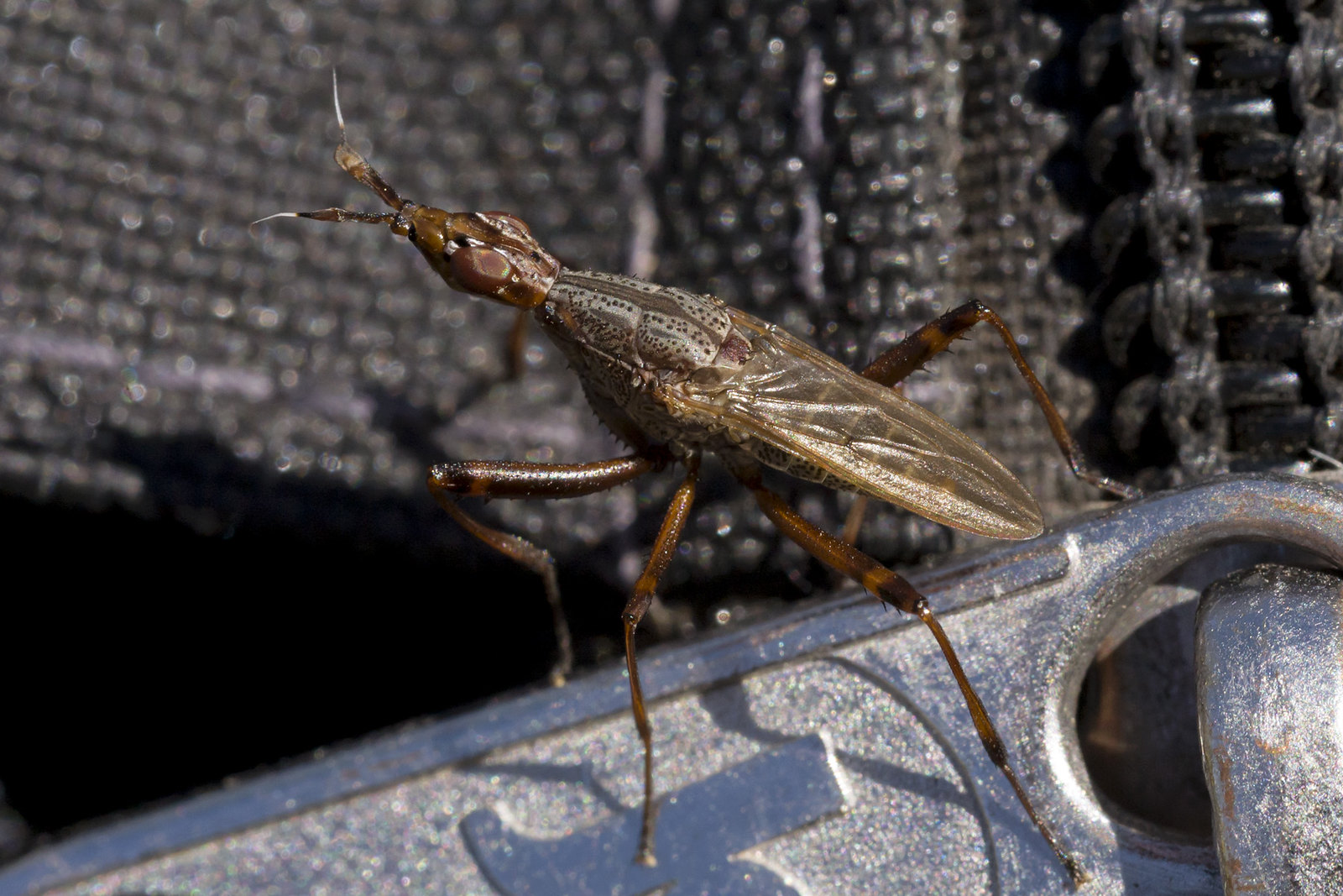
It felt like I was on another planet!!…except there were California quail (Callipepla californica) everywhere.

The Columbia River under smokey conditions.
In Wenatchee, the smoke could even be smelled in trace amounts in our office. Most of the BLM staff were working into overdrive! They had to deal with constant shifting of the fire on a daily basis. Meetings occurred all the time and many of the staff members that had a red card were sent out in the field to help fight the fire. The people who remained in the office worked really hard and were constantly busy. Jenny, Reed, and myself took this time to work on all of our reports! Jenny and I had three major reports to write. The golden eagle (Aquila chrysaetos) report, the ESR/NISIMS report, and the Sulfur Canyon Watershed Assessment Report. Every time we did take a break from the reports, we would look out the window to see hazy conditions over Wenatchee. We hoped that there were winds from the south to blow some of the smoke away. It got so bad some days where we could not see the end of the town! It looked like we were on a floating island in the clouds…or something out of Silent Hill.
Recently, a cold front moved in!!! The red flags warnings have abruptly ceased and rain started to fall in the area. In just one week, the smoke faded away and Wenatchee returned to its normal state. It is a lot cooler in the area and we were able to leave the office!! The bright blue skies with massive fluffy cumulus clouds were a welcoming site! The weather seems like Autumn! No one is complaining on the rain we are getting now. There were small fire activities to the North, but a majority of all of the fires have been contained for now. All is safe again!! (NO THANKS TO YOU CHEATGRASS D:<)
Small Update! Writing Reports! \(OoO)/
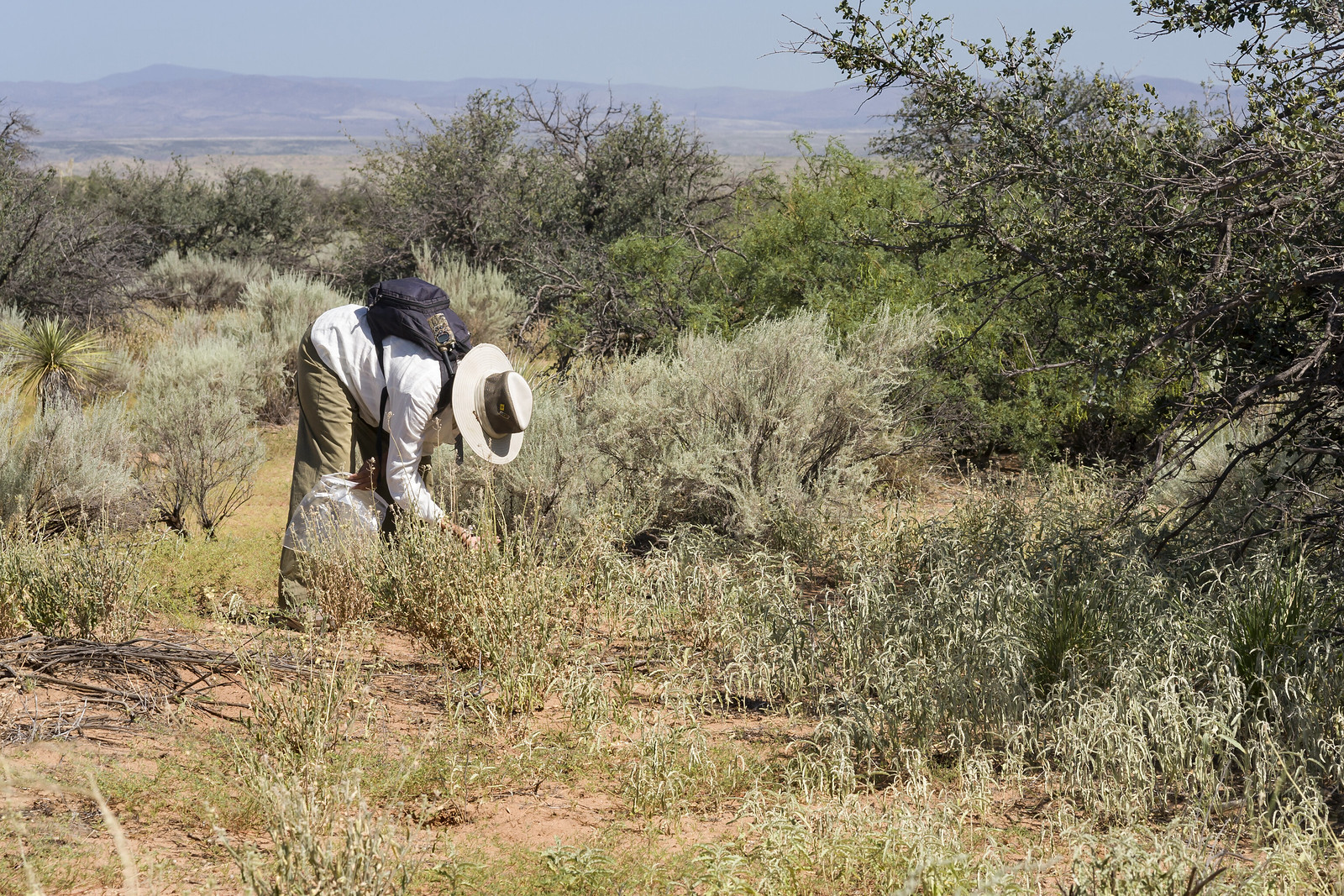
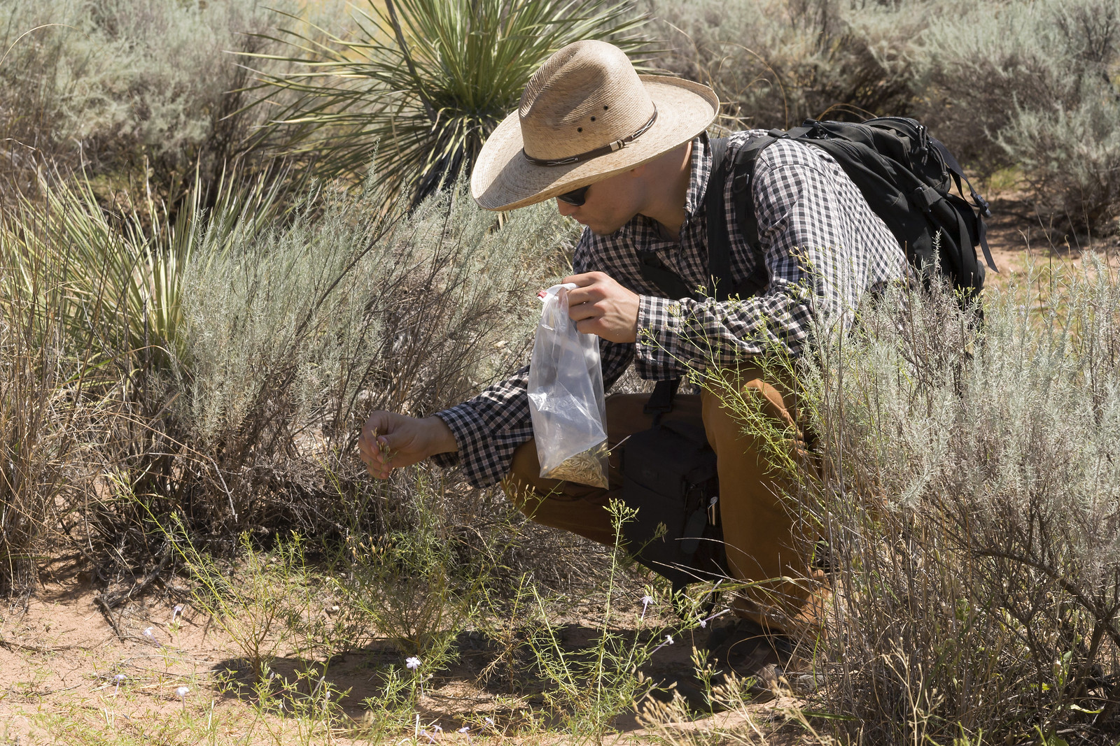
The recent fire activity had put a damper in our field plans for monitoring up north. We decided to write and complete the yearly reports before the end of our internships! We had three major reports to write which were the golden eagle report, the ESR/NISIMS report, and the watershed assessment report! We were really efficient and developed some high quality reports for our bosses! Pictures, graphs, and tables galore! We wrote different notes and documents for the next interns that will be working on the projects. We wrote very good notes on how to find golden eagle nests, so any person can be a professional eagle nest searcher. There was a lot of GIS involved and I got to practice making all sorts of maps and work with data entry. After a week in the office, we completed a majority of our work. Recently, Reed and Jenny went out to one of the final sites to record invasive plants in the Rattlesnake Mountains. This data would be inputted into our report and submitted before we end our internship.
The office was starting to calm down a little due to the lack of fire activity. (Which is a good thing.) We all had a spontaneous potluck BBQ lunch! Having the chance to talk with the staff have been relaxing and rewarding. We have been talking to our mentors and bosses about the pros and cons of different jobs and what to do in the future. We learned a lot and took notes about what we would do for our future careers!!
Adventures with Rusty!! Into the Yakima River Canyon!
One day, Jenny and I decided to take a small break from report writing to join our office neighbor, Rusty on a trip to the Yakima River Canyon. Rusty helped out with the Recreation sites in this area and we came along to see what a recreational BLM staff member does! We were kept busy for most of the day. We checked for reservations at various sites. We cleared fallen wood debris from campground sites. We even cleared trails of garbage, invasive plant overgrowth and willow trees. One of the most important jobs were to clean the garbage and make sure there was toilet paper in the bathroom stalls. We saw many birds and even a herd of bighorn sheep (Ovis canadensis). Rusty said this was a more of a laidback day. During the Summer time, the Yakima River Canyon would have hundreds of people everywhere to the point where everything was chaotic! We came during a quiet time! Jenny and I learned a lot about the business of keeping the Yakima River Canyon orderly and how the BLM took care of their land!

Bighorn sheep grazing!!

Rusty cutting down a fallen elm tree branch.
Now we have a long weekend break thanks to some comp time and Labor Day!! BLM Legend Heather Bromberg from Buffalo, Wyoming came in for a visit. Nice time to hang out with friends, go rock hounding for petrified wood, and have many root beer evaluations!! (I really did do root beer evaluations with Reed, Jenny, and Heather! They were good evaluators!)
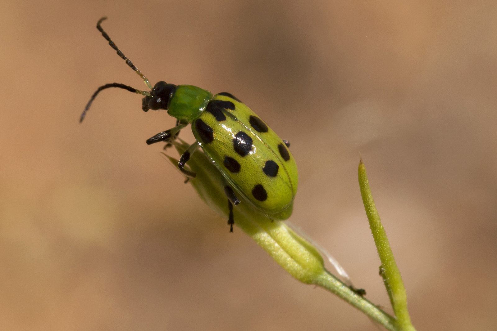
Enjoy some pictures of the Wenatchee Resource Area!!

Bridge over the Yakima River!

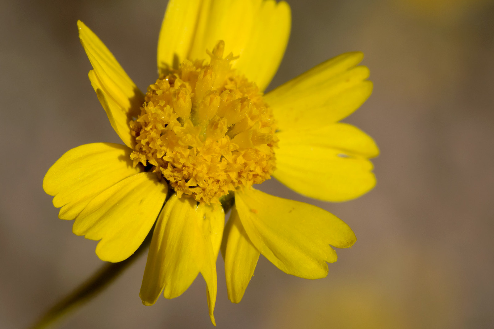
Cichorium intybus!!!

Acer negundo understory along the Yakima River.
I apologize!! Since the recent fires put a damper to things, I did not take a lot of pictures or go on any monitoring adventures! Next post would be totes different! Thank you to my family, friends, and other people who read this blog!
Next Time….on Justin’s CLM Blog……. IT IS THE SEASON FINALE!!!! Yay!!!! Time flew right by!! Questions will be answered, pictures will be shown, shenanigans will be rampant! See you then everyone!!!!
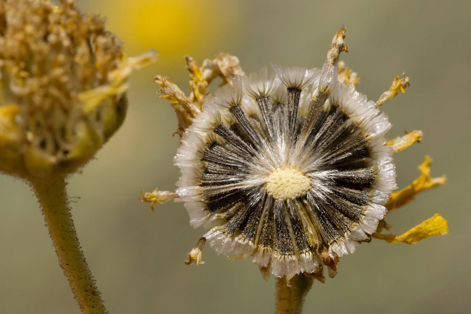
Moment of Zen!!!!!

Adiantum!


