Buffalo Wild Wings

S&G Monitoring and Beyond!

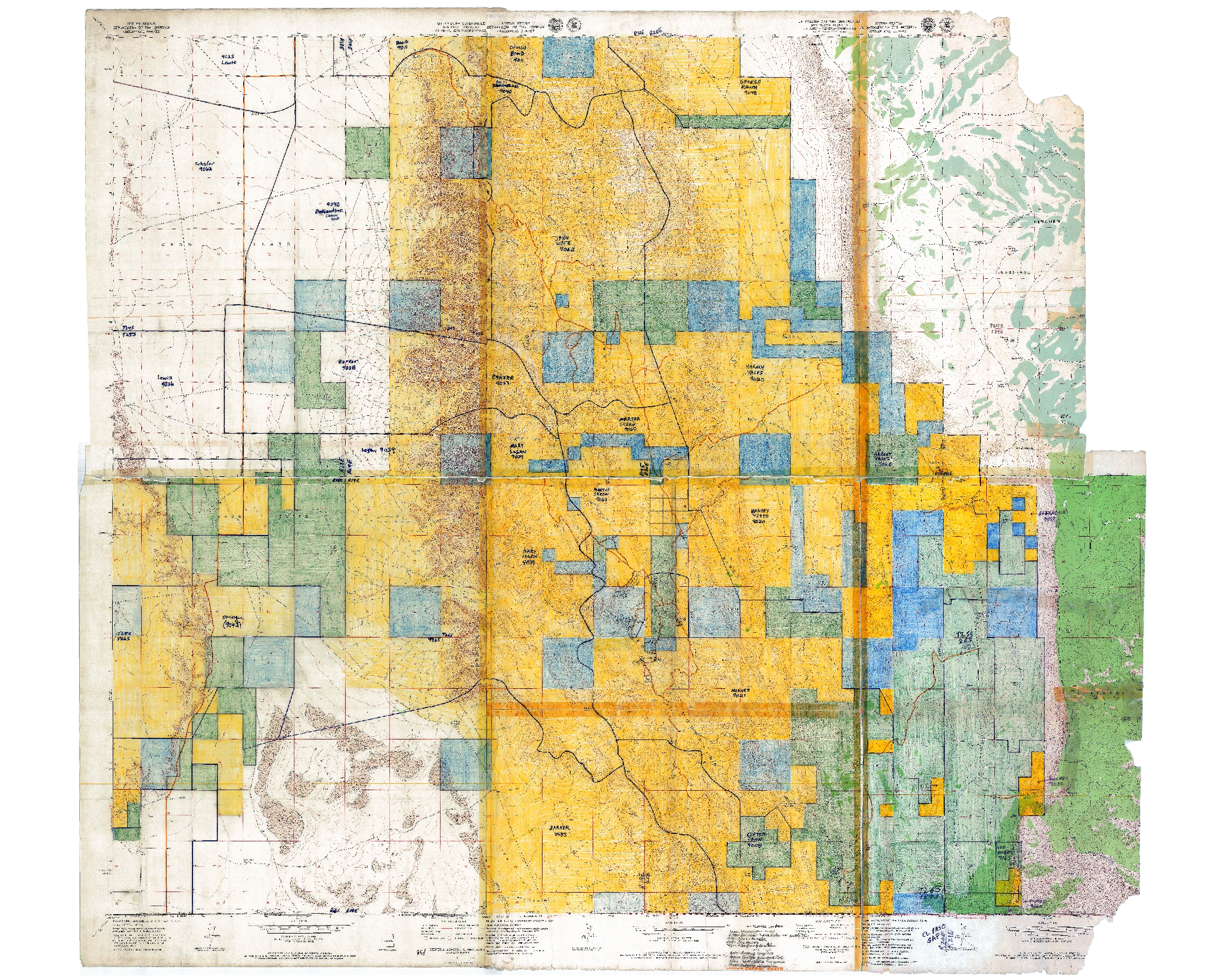
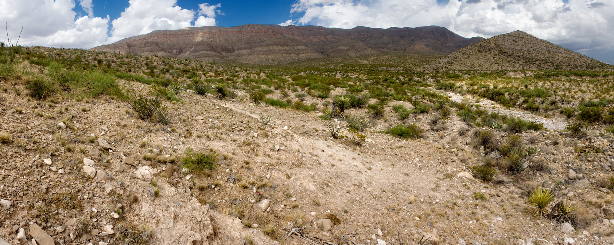
We finished S&G monitoring in the northern Gillette, Wyoming area! After visiting a variety of sites, we managed to do all of the line-point transects, wildlife evaluations, diversity studies, and geologic soil profiles. We have encountered more than sixty different species of forbs, grasses, and other flora! Some areas were incredibly diverse and had many different geologic and biologic processes. There were sites that were very saline that had a nice E horizon in the soil profile. Even looking at the soil profile and different species of grasses, we could understand the ecological significance of each site for many wild and domesticated animals.  I encountered some very disturbed sites that had yellow sweet clover (Melilotus officinalis) and cheatgrass (Bromus tectorum) galore! Even with all of the cheatgrass and other invasive plants, we saw a diversity of grasses such as buffalograss (Bouteloua dactyloides), blue grama (Bouteloua gracilis), western wheatgrass (Pascopyrum smithii), needle and thread (Hesperostipa comata), prairie junegrass (Koeleria macrantha), purple red three awn (Aristida purpurea), green needlegrass (Nassella viridula), sandberg’s bluegrass (Poa secunda) and bluebunch wheatgrass (Pseudoroegneria spicata).

BLM Legends ready to do S&G Monitoring!

BLM Legends ready to do S&G Monitoring!

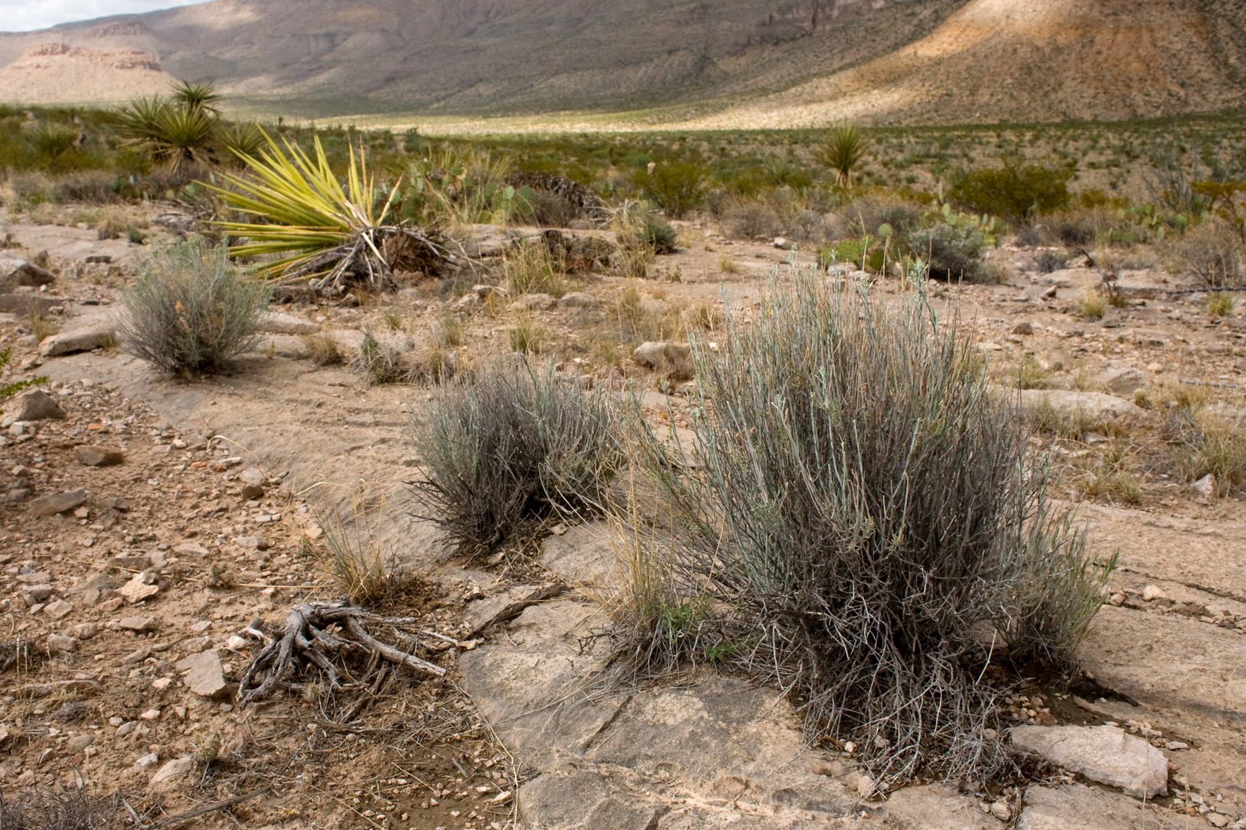
After the S&G monitoring, Sara and I went out to different sites south of Gillette. Our goal was to do rangeland health monitoring assessments. This would help everyone with future S&G monitoring when they would come back to the site next year.  We had to do three point line transects that were 150 feet long at 0°, 120°, 240° azimuth. The point was to record the plants that were encountered every 3 feet along the measuring tape. We also had to look at species diversity, measure sagebrush length and height, assess total ground cover percentage, look for signs of erosion, and take notes on grazing practices on the allotment. We still have a lot of work to do, but we are totally ready for the challenge! ^_^

The Osborn Identity

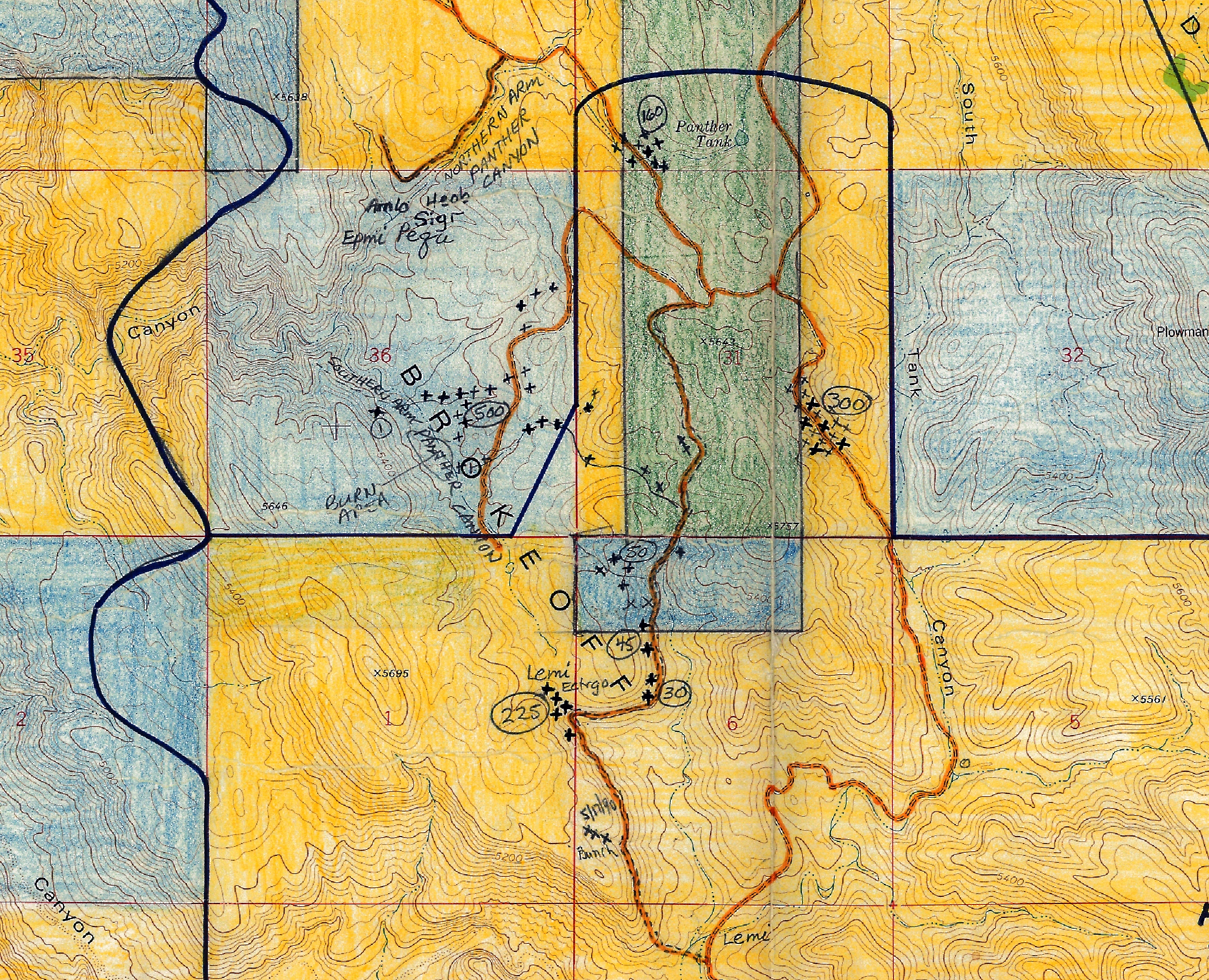
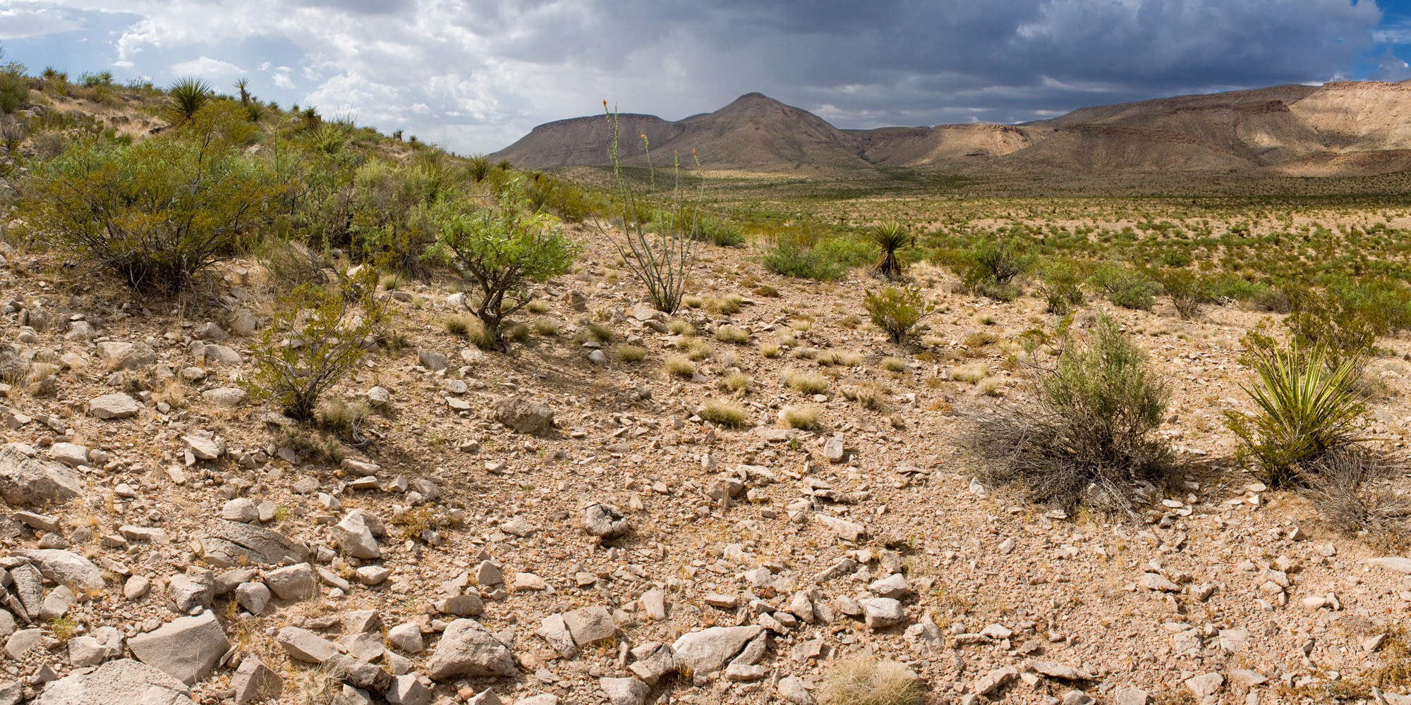
All of the rangeland health monitoring had been going smoothly the last two weeks. Each of the sites we had to monitor were along county roads and took us around fifty minutes to assess. We did encounter one very tricky site known as the Osborn Allotment Site. Sara and I followed the GPS and took many back roads to get to the allotment. The problem was that the local quarries have expanded within the last year and absorbed all of the major roads leading to this site! D: We would make another turn and it would go into a quarry or a man-made valley. When you look on the satellite map, these smaller quarries did not exist. We spent a couple hours trying to find a way into this allotment and we did not want to give up, because we invested so much time into the search. We found a southern route and had to go through a field of cheatgrass and needle and thread. The grass seeds stored themselves in front of the truck and we had to stop to take the seed mass out before it caught on fire. We eventually made it to the Osborn Allotment Site, which was located next to a salt playa near another quarry. There were also a variety of birds that were present on the site such as the upland sandpiper, western meadowlark, lark bunting, lark sparrow, brewer’s sparrow, vesper sparrow, common nighthawk, turkey vulture, American crow, and grasshopper sparrow. Sara and I were pretty happy after finding and monitoring the site. We went on to complete two more sites that day. \(^_^)/

We found needle and thread seeds in front of our truck. We should've taken a voucher and collected seeds for SOS. <_<...that was a joke.

We found needle and thread seeds stuck in front of our truck. We should’ve taken a voucher and collected seeds for SOS. <_<…that was a joke.

The Little Bighorn Ranch Allotment Surprise

The Little Bighorn Ranch Allotment was located in the northeastern section of the Bighorn Mountains, which was located on the Montana-Wyoming border. To enter this allotment, we had to enter Montana and drive down into Wyoming. Sara and I went with BLM Legends Charlotte and Kay to monitor the site. I had to use all of my defensive driving experience when navigating through this valley the allotment was located in. This place was so isolated that it was never monitored before!! O_O We had to go over very narrow bridges and around boulder sites. The marmots were bemused by my twenty point turns I had to do with my truck when we encountered dead end roads.

Bemused Marmot

Bemused marmot.

The valley that we were in was bizarre!! This place seemed like an ecotone for three different kinds of habitats. We had ponderosa forests mixed with many grassland and wetland species. There were huge cottonwoods (Populus deltoids subsp. monilifera) growing along with ponderosa pine (Pinus ponderosa) with many types of prairie forbs and grasses. The river was so clear you could almost see the bottom! This was a trout fisherman’s paradise. On top of that, we encountered a variety of birds that should not have been living there according to the bird guides I always carried around. There were a number of hummingbirds, wrens, warblers, vireos, chickadees, towhees, sparrows, hawks, thrush, blackbirds, and flycatchers that made this valley their home. I really liked the broad tailed hummingbirds and American redstarts!

Female Broad Tailed Hummingbird that is posing for the camera.

Female broad tailed hummingbird that is posing for the camera.

We eventually drove to the site, which was located near a Wildlife Management Area. We got out of the truck and looked at the GPS and the satellite map. We saw that the BLM site was located on the cliff and a high ridge. No wonder no one monitored this site before! Most of it was on a cliff and a steep ridge. <_< We looked for any way up, but each way leading to the ridge was too dangerous to climb. V_V After investigating the area, we gave up the search for a safe route to site. Charlotte told us that we would work with the Forest Service later on to monitor this site. Kay and Charlotte theorized that there could be another way to access this plot from the other side of the ridge but that could take all day! D: After doing another fifteen point turn in a truck that had a nonexistent turning radius, we headed back to the Tongue River for a site evaluation before heading back to the office to work on more maps and data entry.

BLM site located on a cliff.

BLM site located on a cliff.

Misadventures

The Rare Sighting on Mt. Elbert 

During a small break over the weekend, I decided to visit my sister Rachel and her family down in Denver, Colorado. One of the goals for the weekend was to go with my brother-in-law, Eric, to climb Mt.Elbert, one of the taller 14ers in the state of Colorado. The long hike up the mountain was amazing! By the tree line there were all kinds of interesting forbs, many of which I have never seen before.

A forb I have never seen before.

A forb I have never seen before.

When we got to the top of the mountain I noticed a couple of small finches hopping on the ground. I took a closer look and was totally shocked! They were brown capped rosy finches!! OoO I was beyond thrilled to see these very rare finch species. I told Eric and everyone around me. Then I took a large amount of photos of them just to prove to my friends that I have seen this species. We reached the summit and viewed our surroundings before heading down the trail. Reaching the summit with Eric and finding the brown capped rosy finch really made my day at least 20% cooler. ^_^

(/O_O)/ Behold! The Brown Capped Rosy Finch \(O_O\)

(/O_O)/ Behold! The Brown Capped Rosy Finch!

Blue Bank Road

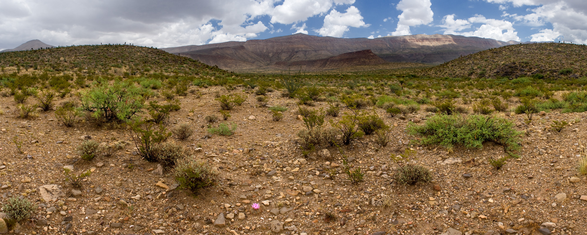
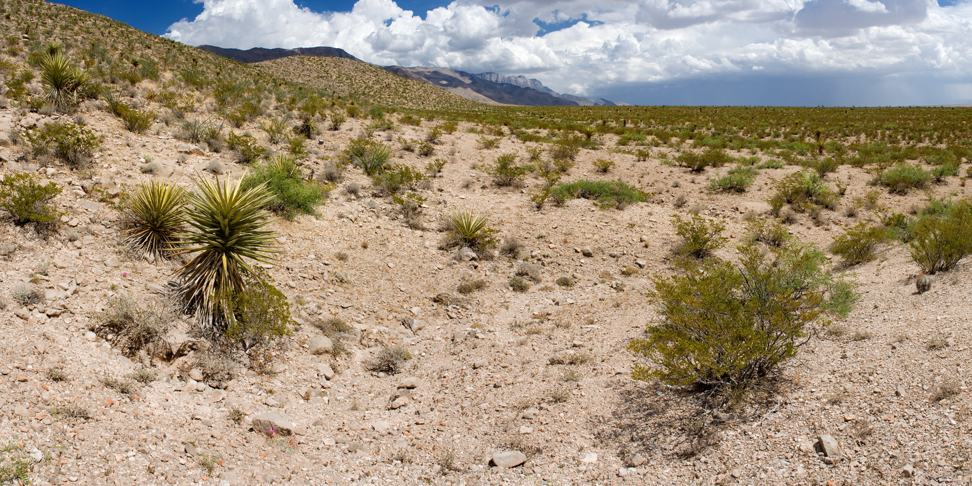
One weekend I decided to follow a rock hounding lead to an area near Worland, Wyoming, which was located on the other side of the Bighorn Mountains. Rumors say that there were many fossils and very unusual geologic formations on this BLM land. I decided to investigate this region to see if the rumors were true. I did some research and found out this area was located on Blue Bank Road and was called the Honeycombs. When driving to the location, I packed a lot of water and some food in case of harsh, sunny conditions.

Blue Bank Road was very gravely and would be considered a back country road. I drove up to the first pull off and I was in awe!! The area looked like the Badlands in South Dakota, but they were far more colorful. Red, pink, white, brown, tan, and black could be seen in all of layers of the rock formation. I investigated each formation at every site and found all sorts of bizarre geologic wonders. There were plenty of agates, very colorful chert, degraded fossils of plants, and different gypsum rocks. The formations were quite impressive. I have a minor in geology and there were some geologic oddities that really puzzled me. There were a variety of birds that populated this area such as the canyon wren, rock wren, western meadowlark, chukar, grasshopper sparrow, western kingbird, mourning dove, lark sparrow, sage thrasher, and ferruginous hawk. Overall, the trip to this area was very successful and I found many awesome rocks!

Blue Bank Road Badlands

Blue Bank Road Badlands

Treasures of Blue Bank Road!

Treasures of Blue Bank Road!

GIF of the Week!!

When I go out into the field with Sara and monitor different sites for grass and forb species, I always dreamed of seeing one of the land owners in the distance watching us and nodding his or her head in approval for the work we are doing… just like Jeremiah Johnson in this gif.

When I go out into the field with Sara and monitor different sites for grass and forb species, I always dreamed of seeing one of the land owners in the distance watching us and nodding his or her head in approval for the work we are doing… just like Jeremiah Johnson in this gif.


A day in the life…

Trying to fall asleep but instead staring at the stars above Wyoming is bliss. My room has three awkwardly set windows. The sashes all small and stuck in the casing with paint peeling back to expose historic trim, I look out. It takes work to gain a vantage point, cradling my head against the wall at a right angle to see out. Looming over the house the bright balls of gas glittering the night sky, sometimes not even a cloud, I feel so connected to the world around me. I briefly think about the prairie we’ll be visiting the following day, but soon settle into my dreamy state for the night.

Our house is at the top of the hill in Buffalo and its view provides a panoramic of the Big Horn Mountains. I say ‘our’ because the two other CLM interns live here too. We bustle through the kitchen, preparing lunch, eating breakfast and sounding early morning grumbles. We share this humble abode and the five minute commute to work. Down the hill then over the clear creek and up the scenic route that leads to the Buffalo Field Office (BFO). Most mornings we discuss how lucky we are to live here as we pass Pronghorn grazing in the grasslands. Then temporarily ignore our behooved amazement of the scenery and alter our attentions to the task at hand.

In the prairie, our team performs point line intercept while others calculate the slope, explore signs of wildlife, identify the soils and determine the ‘story’ of our present site. BLM calls this S & G or ‘rangeland health assessments’. We question if there has been a historic fire or high levels of cattle grazing or possible noxious weed treatments (past). We work in collaboration at times but mostly the interns focus on the native and non-native plants along each transect.

The Cheatgrass (Bromus tectorum), Japanese Brome (Bromus japonicus), Leafy Spurge (Euphorbia esula) and other non-natives which the Bureau claims responsibility, for its introduction, then curses its existence as it plagues the landscape. These noxious weeds leech the water from the ground and grow high, out-competing their neighbors, Wyoming’s native grasses and forbs. “Bro-ja, soil…BRTE, VEDU, soil…none, soil…” our day continues in this scheme until we’ve achieved all transects at each site. Relying on our visual interpretations and simple calculations for ground cover, we begin our return journey to the office.

Back at the base of the mountains, we clarify notes and extend our list of species seen that day, then add field data to our database. Later it can be used to make presumptions of our failing landscape. Our landscape is transforming into toxic fields of noxious weeds, invasive species, pesticides and cow pies. It’s certainly not perfect, but back at the Buffalo Field office (BFO) it sure looks beautiful enough from our panoramic view to believe it’s doing just fine.

image

Summer Smoke and Plant Adventures

You can smell that summer is officially here in Central Oregon due to the smoke in the air. A blitzkrieg of dry lightning enveloped the area last week and more is expected in the upcoming week. On the bright side, I find the fires really bring home the point of how important the Seeds of Success program is. For many of the seeds collected restore these scorched areas throughout the West. As of now our Seeds of Success collections sites are yet to be affected by fire and hopefully that will continue to be the case.
As summer continues we are traveling to higher altitudes to continue to collect forb species. Today we went to check on Crepis acuminata but unfortunately 80% of the seed was attacked by some sort of pathogen so the entire collection had to be cancelled. Nonetheless it was still a productive day for on the way back down we pulled up the noxious spotted knapweed.

As I mentioned in my last blog post, I am monitoring the rare plant Thelypodium eucosmum which has overall been successful, adventurous, and personally meaningful. Hiking through narrow canyons to study disturbance, ecology, and population dynamics of this plant involves a strong physique and detailed notes to assess the site. Many sites had not been seen for decades and at times have had surprising results. For example, one site that had not been visited since the 1980’s only had 20 plants but nowadays has over 300 plants! Another site unfortunately only had four individuals this year. This field work will hopefully bring to light which areas need to be fenced off from cows and perhaps lead to other conclusions such as juniper removal. Overall I hope the species will continue to be around in the following decades due to my field work.

Thelypodium eucosmum surrounded by it's associated species: Great Basin Wild Rye.

Thelypodium eucosmum surrounded by its associated species: Great Basin Wild Rye.

Monitoring a Thelypodium eucosmum site

Monitoring a Thelypodium eucosmum site

Eriophyllum lanatum with pollinators

Eriophyllum lanatum with pollinators

Eriophyllum latanum seed

Eriophyllum latanum seed

Debbie Pattison
Prineville, Oregon BLM Field Office

July 2014

Since my last blog not much has changed as far as my day-to-day tasks. I am still typing away on a NEPA document for a giant garter snake restoration project I am working on. I am currently in the process of selecting a contractor to conduct baseline surveys at the restoration site as well. This information will help with my decision making process as construction activities are carried out, as well as determine the success of the project after the restoration is complete.

I did get one short break from the office for a seed collection a couple weeks ago. Two interns (one SOS, one BLM) from the Mother Lode Field Office came to my field station for a day of plant ID and seed collection. We found several populations of plants we were searching for, that should have been ready (or close to being ready) for seed collection. What we did not find was seeds. Perhaps this is an effect of the drought? Either way we were still able to collect seed from one population (Cyperus eragrostis), so our efforts were not in vain.

Hopefully I will have future opportunities for more collections. In the mean time I am just going to be trying to pump out these documents.

Stay safe in the field-

What is your PL?

Hello from Lakeview, where our lakes have dust devils and our wetlands are on fire.

I live in the parking lot of the Interagency Fire Center fleet and I have watched our team of five fire trucks roll out at least four times this month. We are now at Preparedness Level 4, which I had to look up and that means 60% of our national and state fire crews are engaged in some fire activity.

Our awareness of dust, smoke and heat related health hazards is on point. We can’t drive on roads with vegetation in the middle, smoke outside or have fires of any kind. Our field rig has had a Pulaski, shovel and fire extinguisher since May, but if we don’t carry them now we could be fined. I find myself taking more breaks when I seed collect, but I’ve also grown more efficient in choosing the best fruits. Some field sites will be abandoned until it is safer to drive over the grass and sagebrush, and we’ll probably miss the collection if another accessible population isn’t found.

I like the physical demand of the job, but I wish there was more science involved. Seed collection is just one step in a huge operation, and we do find new information to add to previous data. But if you really want to run some tests and gather evidence that it is possible to afford native seed restorations on public lands, go to a grow-out like the Malheur Experiment Station.

Native plants are the best!

For more information on fires on fires in your area, check out:

activefiremaps.fs.fed.us/

http://www.nifc.gov/aviation/av_saseb2.html

Sunset over Goose Lake valley

Sunset over Goose Lake valley

Crater Lake National Park

Crater Lake National Park

Heliotropium curassavicum var. obovatum

Heliotropium curassavicum var. obovatum


Further adventures in mescal bean surveying

Greetings,

In my first post, I mentioned going to the Brokeoff Mountains to look for Dermatophyllum guadalupense. Since then, I have digitized some old survey maps for this species and, with Mike Howard, further explored its distribution.

The Las Cruces District Office of the BLM funded some survey work for Dermatophyllum guadalupense in the late 1980’s. This being a while ago, there was no GIS. There were GPS units, barely, but they were big, heavy, expensive, and rarely used by biologists. So plant surveys were done the old-fashioned way. Head outside with USGS topo maps, wander around looking for plants, do your best to match up your wanderings and plant observations with the topos, and write on the maps. So we have an old survey map for Dermatophyllum guadalupense. It’s a set of USGS 1:24,000 topographic maps, cut and taped together to cover the survey area, hand-colored (with crayon, so far as I can tell) to show land ownership, and annotated by hand to show survey routes and locations of plants. Given the modern capabilities of GPS units and GIS software, it is amazing that this approach was state-of-the-art so recently. But, if you knew what you were doing—and the botanist, Phil Clayton, did!—it worked pretty well. So, now, we can scan the map, georeference it, and display it in ArcGIS. Here’s the map, at its full extent:

And here’s a portion of it, zoomed in to show plant locations:

I’ve georeferenced the map, so that it can be displayed in ArcGIS and viewed with other layers. This is a surprisingly straightforward process; basically, you load the scanned image in ArcGIS and then georeference it by clicking on points in the map, then clicking on the same point in a reference layer (for which I used previously scanned and georeferenced USGS topos in the LCDO’s GIS drive—since my reference layer is the same as the scanned map, except for the hand-colored land ownership and plant survey data, this is easy). So now we can look at the old survey map in a GIS context, compare it to aerial imagery, put coordinates on the surveyed plant locations, go outside and know we’re looking at the same place Phil Clayton did 25 years ago, and so on and so forth. Cool!

However, Phil Clayton did not get everywhere and survey everything. Mike Howard found some locations for Dermatophyllum guadalupense that are not in that map. He found three more plants near the end of a road that leads to a livestock water storage tank and had previously looked northwest of the tank, not finding any more Dermatophyllum guadalupense. So, on the third of July, we went out and, this time, wandered southeast of the tank. The short version is: we did not find any more Dermatophyllum guadalupense. But, we got to go outside and examine the area:

We also found another rare plant, Ericameria nauseosa var. texensis:

And Echinocactus horizonthalonius was flowering:

And whiptails (in this case, Aspidoscelis tesselata) were out:

Also, if you were wondering what Dermatophyllum guadalupense looks like, well, here it is:

Habitat typing

After a few months of habitat typing, we were able to take a workshop by the habitat typing man himself: Pfister! Forest habitat typing is mostly used in the west, since there are still high amounts of native plants in places like Montana, as opposed to the Midwest, which you would classify “plant communities” instead. What is habitat typing you ask? Habitat typing uses a collection of information about habitats with comparable structures, functions and response to disturbance.

We use a dichotomous key to key out the climax series based upon trees. “Climax series is the tree species that will remain unchanged in terms of species composition as long as the site is undisturbed.” Then, the dominant understory vegetation is then keyed out to a specific habitat type. For example PSME/SYAL/CARU, which is a Douglas fir climax (PSME), with dominant components of snowberry (SYAL) and Pinegrass (CARU), habitat type 312! With this information we get a better idea of how each stand will function and respond to disturbance, based on a collection of habitats with similar structures.

For the habitat typing seminar we reviewed live samples of understory vegetation and just practiced habitat typing in the field. We met a lot of fellow natural resourcers that work for the forest service, park service et. al. It was such a wonderful experience and we learned a lot!

2014-06-18 10.39.23

2014-06-17 14.29.36

2014-06-17 15.29.55

Living in Carlsbad, New Mexico

I can’t believe I have been working in Carlsbad, for the BLM (Bureau of Land Management), for over a month now. I have been keeping a small journal listing all the different things I do every day. Reading through my journal, I am astounded by plethora of different jobs I have experienced over the past month. My primary task at the BLM has been finding the presence or absence of Dunes Sagebrush Lizard (DSL) in predetermined locations. The DSL is a habitat specialist that is only found in large dune complexes called blowouts, which are surrounded by shinnery oak. The Dunes Sagebrush Lizard was recently listed as “state endangered” in the New Mexico. If a DSL is found in a location there can be no development within 200 meters of that GPS point. Every Friday I use GIS to find locations within BLM land that maybe suitable for the DSL. Mondays I usually go to the predetermined locations and place pitfall traps in the hopes of catching a DSL. In every location we place 10 pitfall traps spread apart to maximize our chances of catching something. The pitfall traps are 5 gallon buckets sunk into the sand so they are flush with the surface; so far we have dug 21 arrays with ten buckets, meaning we have dug 210 holes all across southeast New Mexico. Every day after traps have been sunk, I go into the field and check the traps to see what has fallen in. I record any other reptile that has fallen in as well as wind speed and cloud cover. Traps are set out for five days and then pulled out. If a DSL is caught before those five days the traps are pulled out and we record the GPS coordinate of where the lizard was caught, the sex, and multiple pictures are taken to prove that we have caught a DSL.

Although I check traps every day, I still have time to experience and work with other departments at the BLM. I have been sitting in on NEPA (National Environmental Policy Act) meetings to understand intricacies of developing something on federal lands. I have also been helping the BLM place interpretive signs into a nearby river explaining the ecology and history of the river. Last week we were invited to local summer camp to teach kids between the ages of 6 and 12 the differences between reptiles and amphibians and the importance of stream water quality. We have started to conduct macro-invertebrate samples along the Delaware River, and soon we will begin Prairie chicken surveys. On my off days, I have already hiked to the top of Guadalupe Peak (the highest point in Texas), gone 750 feet below ground level to explore the famous Carlsbad Caverns, and have been mountain biking in a nearby trail system. All in all there has not been a dull moment. The BLM is keeping me active and I am thoroughly enjoying my time here in Carlsbad.

Sand Dune

Sand Dune

Pitfall trap

Pitfall trap

Male DSL

Male DSL

DSL and GPS

DSL and GPS

Whiptail

Whiptail

DSL female

DSL female

Side shot DSL

Side shot DSL

DSL in natural habitat

DSL in natural habitat

Carlsbad Caverns

Carlsbad Caverns


Thoughts from Farmington

Wow, I’ve already been in New Mexico a month and a half. The time has flown by. It’s amazing how that happens when you really enjoy the work that you are involved in. There is so much to say since my last entry, but I had to narrow it down a little for today.
My fellow intern Sarah and I flew solo on making our latest SOS collection; the third of our season. It felt good to have the confidence to manage this on our own. Not to say that the collections are difficult, but this way our mentor could catch up on what she needed to do. I am completely amazed by how tenacious these desert plants are. The area has been in a severe drought even for a desert. I don’t know how anything could survive, but they do. The Utah serviceberry we collected from was showing signs of stress, some not doing well at all, but those tough shrubs still put out seed and promise of a next generation, hoping for better conditions for their offspring.

We should be in the monsoon season, but the rain has been spotty at best. All to the north and south the clouds have blessed the ground with their bounty, but our little pocket around Farmington remains parched. When we have been to areas with rain, it seems like a miracle, and for the landscape I suppose it is. Often I look to the horizon and see spectacular lightning shows against distant dark skies, or the cloud phenomena called virga (this does not happen in the east). According to Wikipedia, “In meteorology, virga is an observable streak or shaft of precipitation that falls from a cloud but evaporates or sublimes before reaching the ground.” It’s pretty wild looking, you can see the rain coming down like purple or white chalk smears but it never actually makes a landing because the air is just so dry. I can’t wait to see the second coming of the plants that result in a little rain here. We get really excited when we see arroyos with running water in them. Rain dance for Farmington, because the seed collection options are slim pickings!

Another part of the job that has been thought provoking is the knowledge paradigm. We all have knowledge, of various kinds. Some is nearly universal, some selective. Part of coming to a new place is picking the brains of your new neighbors. What do you know about this area? It’s an unspoken question usually; I wait for the answers and then suck them up like a sponge when they come. Sheila is our mentor; a nearly native New Mexican (moved here from NY when she was 8 years old). Her understanding of the landscape and its ecology and culture is stunning. To have lived in one state so long makes her a NM wise woman in my eyes. She’s taught us some of those less obvious tidbits of local knowledge that are surely gems. We learned that ponderosa pines smell like vanilla if you get up close, that obsidian isn’t found here, so if you see some it’s an artifact, a shard of life of an ancient, and what petrified wood looks like. Our fuels specialist calls out to crows when she’s with us and they call back, and she knows where to see petroglyphs on canyon walls. Specialists in the office are happy to share their passions with us and their specific knowledge. We went out netting tamarisk beetles this week with a herp enthusiast and learned about the snakes and horned lizards that we found. We took some rocks we found – (BLM allows what they call reasonable take – a few pebbles are ok to keep) to a geologist and learned that they were carnelian, a semi-precious stone. I love spending time with these people. Even though I have almost zero local knowledge, we can all learn from each other. I taught Sheila that you can eat Russian olive berries! I continue looking forward to every day as a CLM intern and learning as much as I can in my short time here.

the Badlands

the Badlands

Netting beetles

Netting beetles

Bull snake sighted!

Bull snake!

Here's Cleome serrulata, a target species for Colorado Plateau seed collection

Here’s Cleome serrulata, a target species for Colorado Plateau seed collection. Maybe in a few weeks!

art of the ancients

art of the ancients

Adventure in the Rubies

A week ago today I was presented with the opportunity to go to the Ruby Mountains in eastern Nevada and if one has heard or seen of the beauty and adventure that can be had in Lamoille Canyon, they are sure to accept the offer. The drive from Carson City was about 5 hours and it was a pretty desolate stretch most of the way across, but there were some friends to see along the way, like Black-necked Stilts and Pronghorn. When we arrived in Lamoille Canyon that evening I was just able to complete a brief and hurried botanical exploration before a very large thunderstorm rolled into the valley. Being from the wonderful state of South Carolina it was great to hear the loud, rumbling thunder above and see and feel the rain after what seemed like forever.

The next day we were able to hike up Lamoille Canyon and over Liberty Pass to Liberty Lake. The walk was loaded with a large variety of wildflowers throughout many different habitats, such as Subalpine, Aspen Forest and Alpine. There seemed to be blooms of all different colors waving in the wind no matter where your eye wondered. Several of the species seen were Hymenoxys hoopesii, Chamerion latifolium, Psuedostellaria jamesiana, Potentilla diversifolia, Rhododendron columbianum, Smelowskia americana, Oxyria digyna, Luzula spicata and so many more beauties of the wild. If all these blooming flowers did not fancy the eye enough there was the pleasant and cheery serenading of several different birds, like the Hermit Thrush, Lazuli Bunting, Lesser Goldfinch and chatty Clark’s Nutcracker. Another very interesting natural wonder was the flight display of the male Broad-tailed Hummingbird (Selasphorus platycercus). He would fly off his perch and then proceed to make trills with his wings as he flew almost vertically upward into the sky. Reaching the top of his ascent he would plummet downward towards the earth and turn up quickly and repeat the process making buzzy call notes as well. A truly wonderful thing to be able to see, especially when he landed and through the binoculars you could see him flashing his bright red throat in the sunlight!

The plants were incredible in this area and it was nice to come across a lot of new species in the high country habitats. I brought my fly rod as well and was able to do quite well fishing along Lamoille Creek in the canyon. The brook trout were very eager and made for a couple great evening of fishing on the water.

DSC08973

The beautiful blooms of Dwarf Fireweed (Chamerion latifolium).

Eriogonum heracleoides

Eriogonum heracleoides

Rhododendron columbianum (Syn. Ledum glandulosum)

Rhododendron columbianum (Syn. Ledum glandulosum)

Wondrous! Rhodiola rosea

Wondrous!
Rhodiola rosea

Physaria chambersii

Physaria chambersii

A stately sentinel of the high country - Pinus albicaulis

A stately sentinel of the high country – Pinus albicaulis

Sedum debile

Sedum debile

Flyfishing the high country was a great experience!

Flyfishing the high country was a great experience!

One of the fiesty fellows of Lamoille Creek!

One of the fiesty fellows of Lamoille Creek!


May the summer treat you well friends,

Ethan Hughes

CCDO BLM Nevada