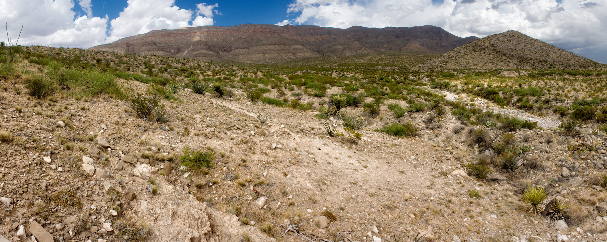
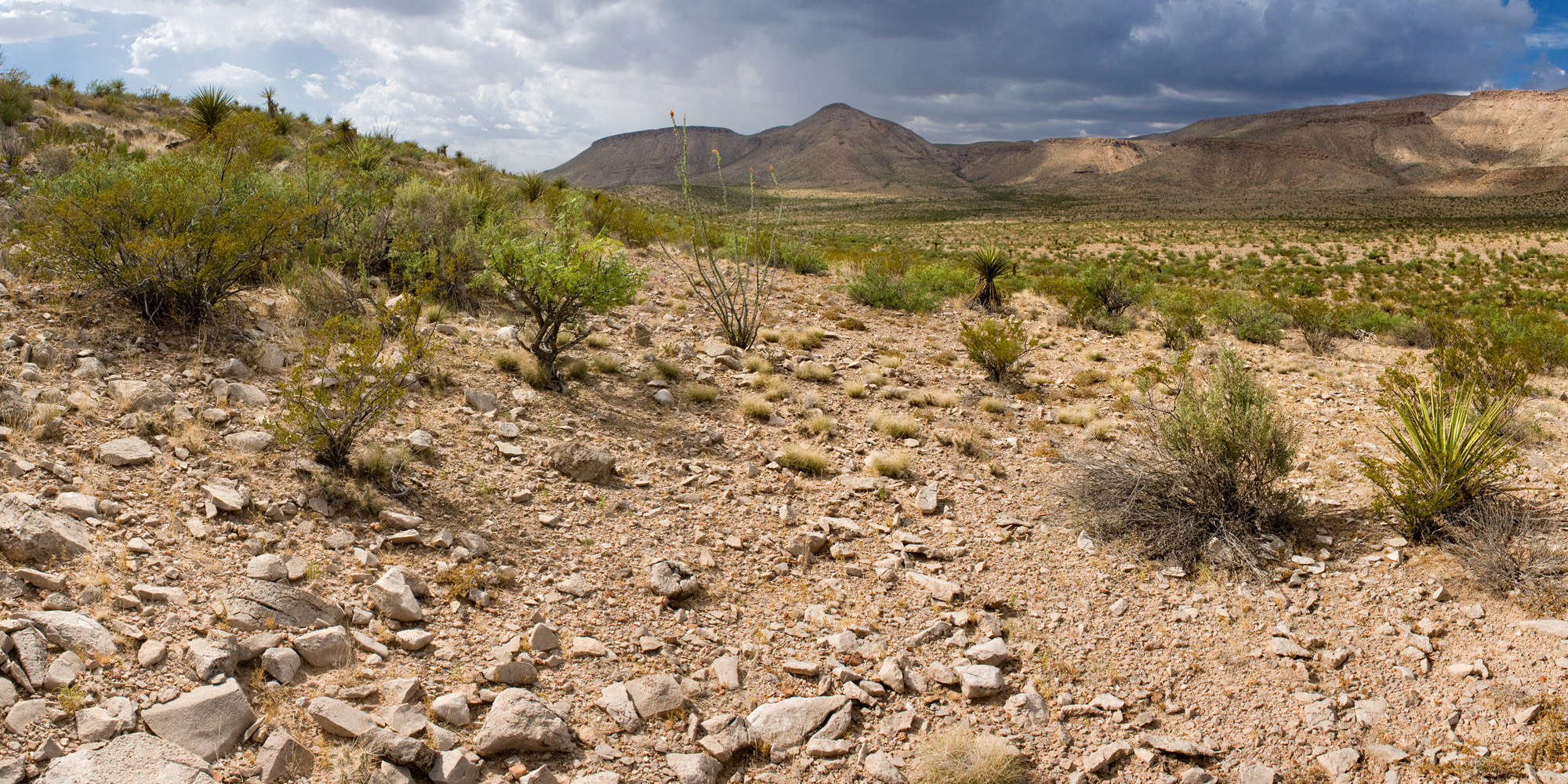
Hello from Lakeview, where our lakes have dust devils and our wetlands are on fire.
I live in the parking lot of the Interagency Fire Center fleet and I have watched our team of five fire trucks roll out at least four times this month. We are now at Preparedness Level 4, which I had to look up and that means 60% of our national and state fire crews are engaged in some fire activity.
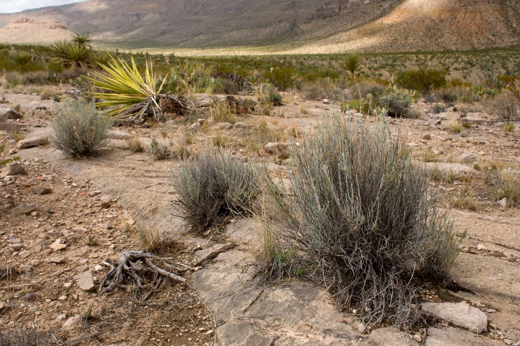
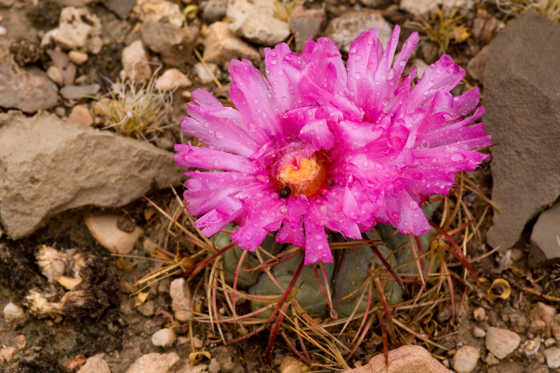
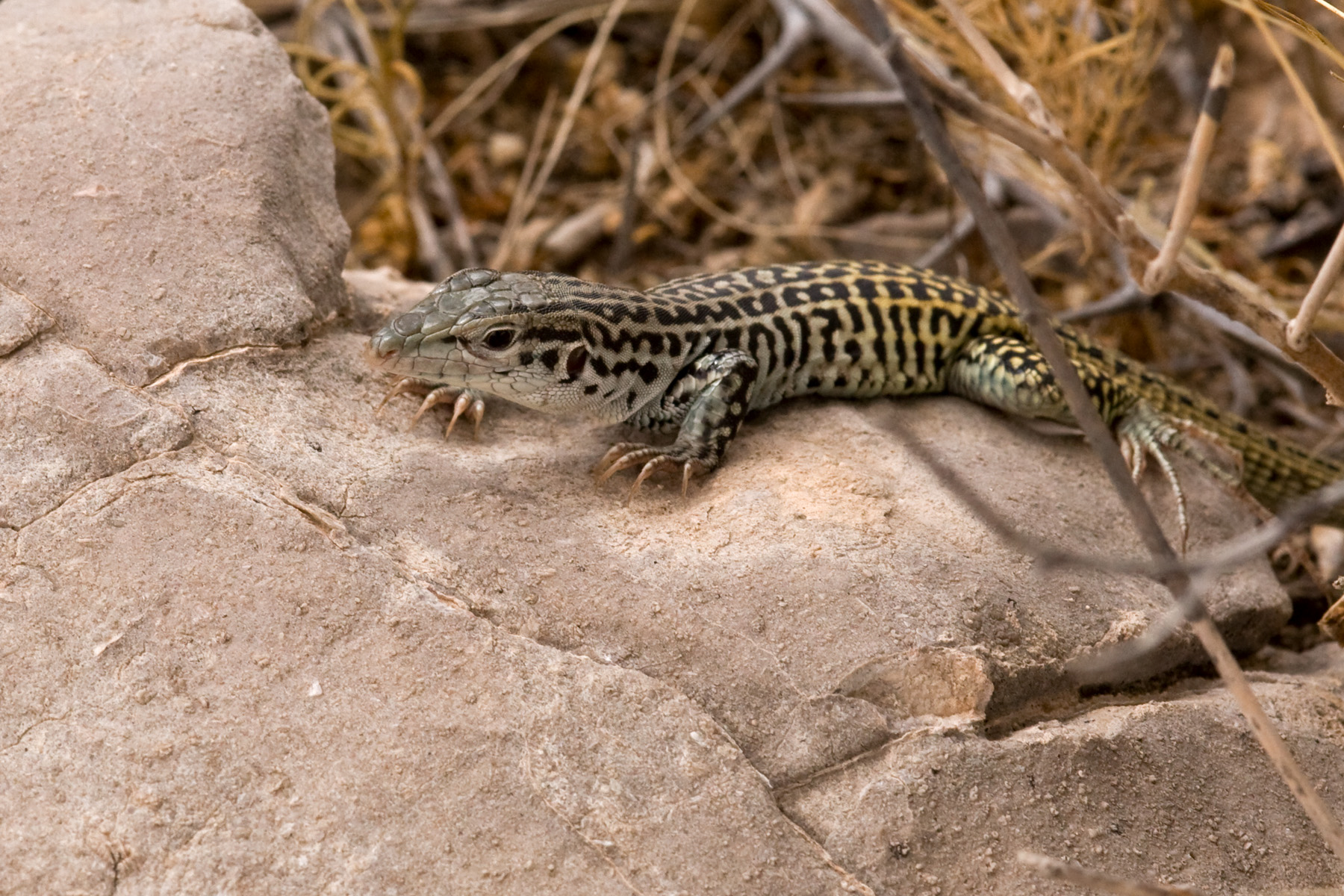
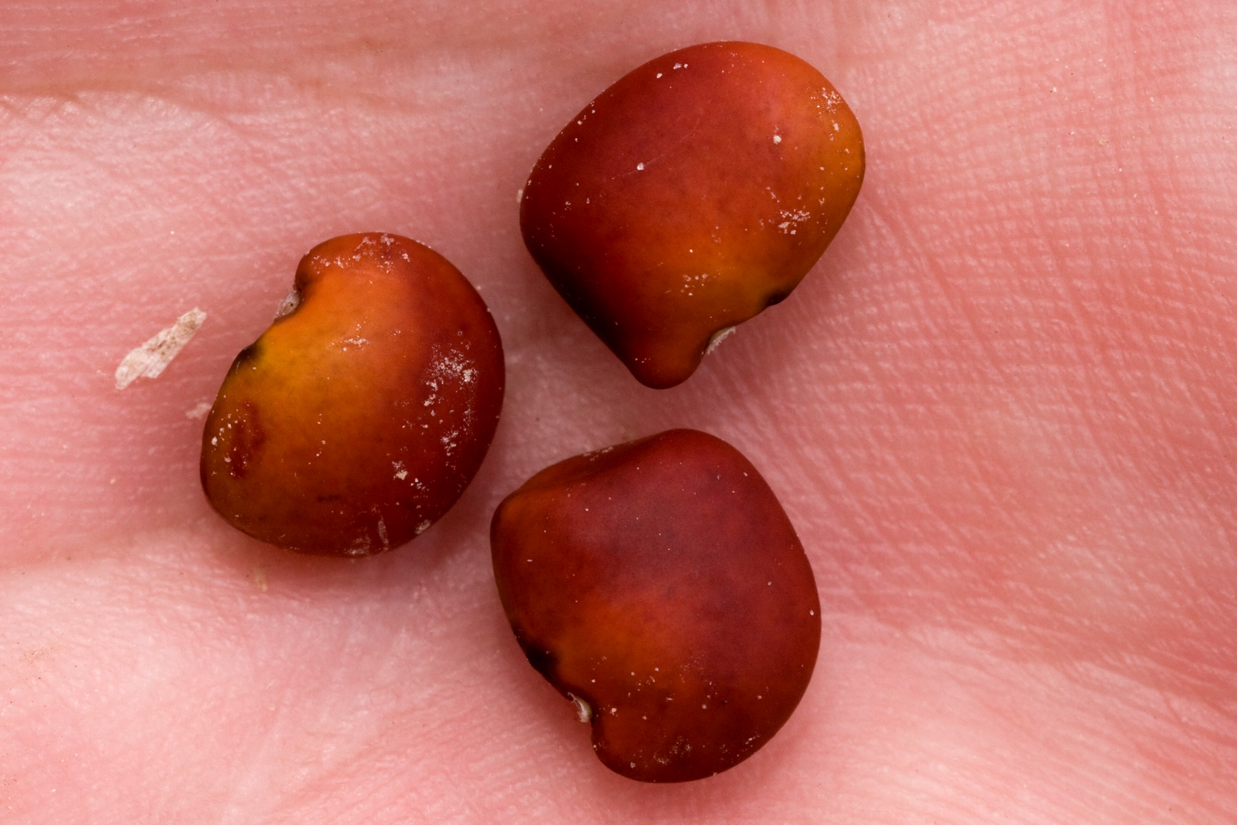
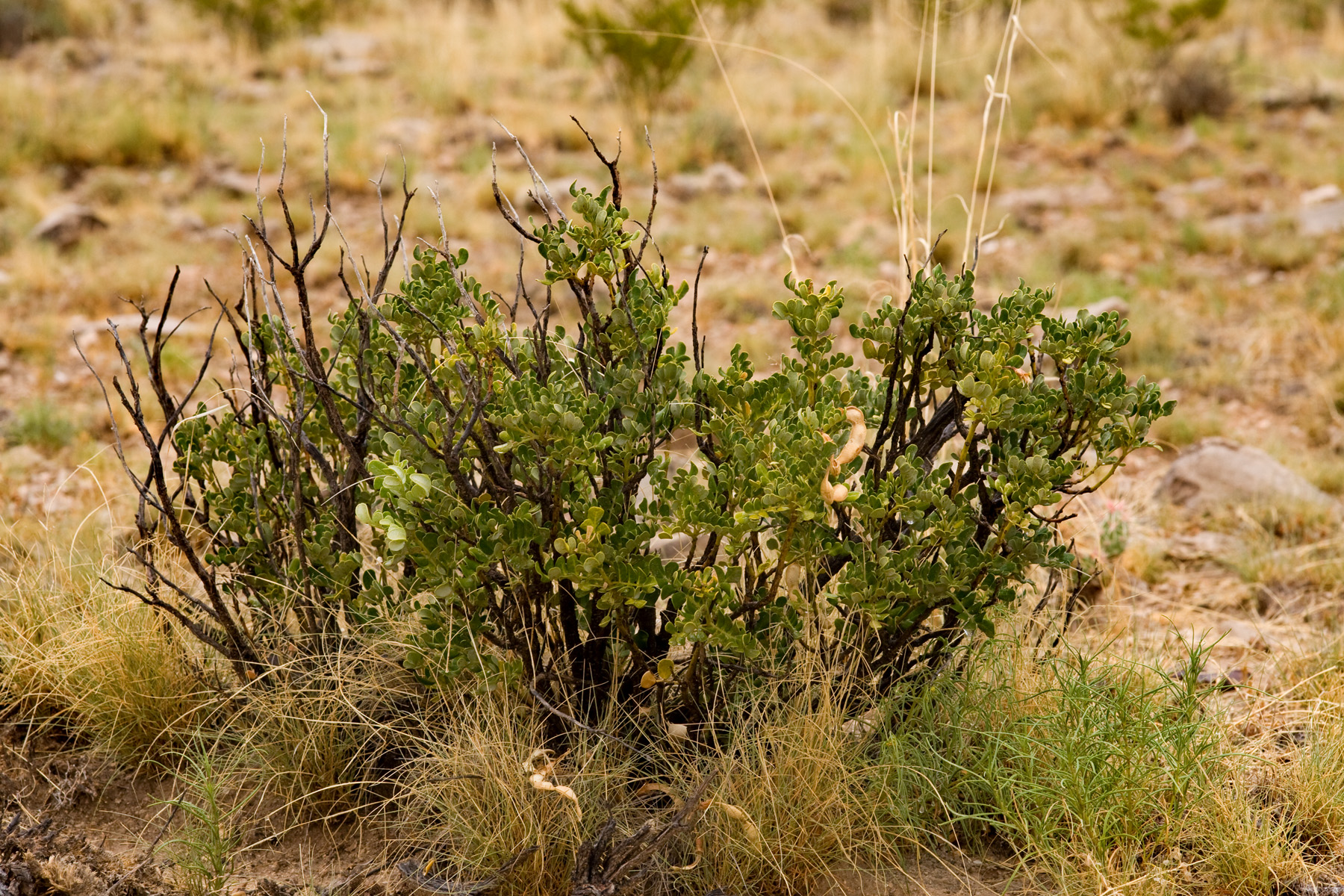
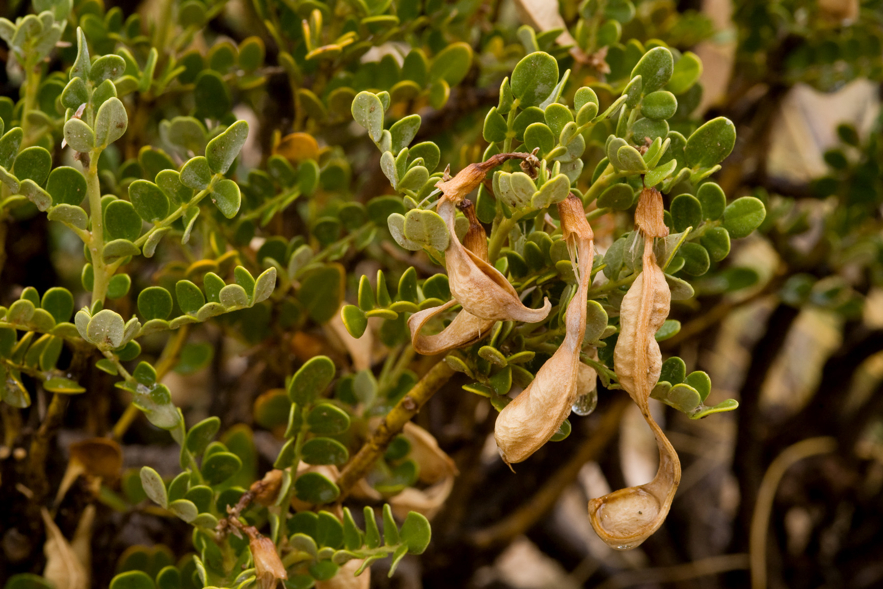
Our awareness of dust, smoke and heat related health hazards is on point. We can’t drive on roads with vegetation in the middle, smoke outside or have fires of any kind. Our field rig has had a Pulaski, shovel and fire extinguisher since May, but if we don’t carry them now we could be fined. I find myself taking more breaks when I seed collect, but I’ve also grown more efficient in choosing the best fruits. Some field sites will be abandoned until it is safer to drive over the grass and sagebrush, and we’ll probably miss the collection if another accessible population isn’t found.
I like the physical demand of the job, but I wish there was more science involved. Seed collection is just one step in a huge operation, and we do find new information to add to previous data. But if you really want to run some tests and gather evidence that it is possible to afford native seed restorations on public lands, go to a grow-out like the Malheur Experiment Station.
Native plants are the best!
For more information on fires on fires in your area, check out:
http://www.nifc.gov/aviation/av_saseb2.html

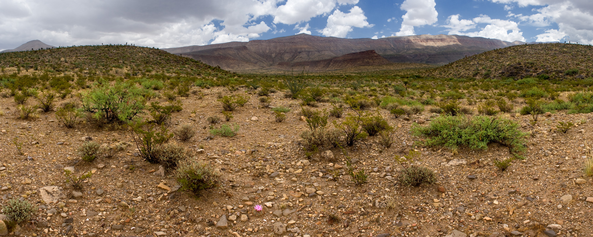
Sunset over Goose Lake valley

Crater Lake National Park

Heliotropium curassavicum var. obovatum