My intro to the DRyiNG project

It has been a little over a month now since starting my work on the DRyiNG (Drought RecoverY In Northern Grasslands) project out here in South Dakota and I have already learned a ton about the mixed-grass prairie ecosystem of Buffalo Gap. I’m currently able to confidently identify over a dozen species found in the prairie, many of which are grasses that look nearly identical to each other.
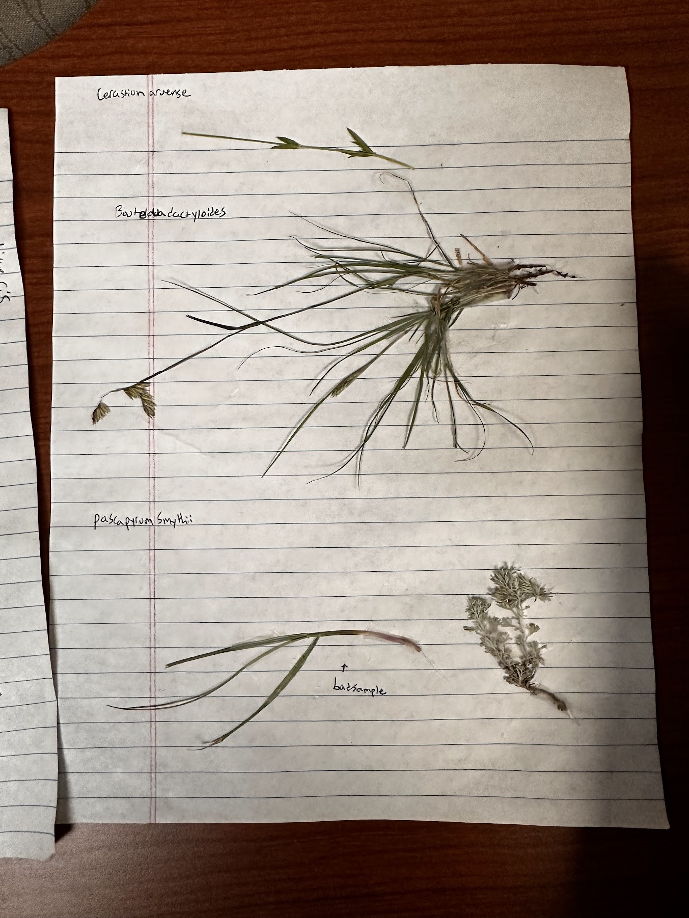
We spent the first week going over the defining characteristics of plant families we frequently come across and collecting some samples to enhance our visualization of some common species. Some grasses are easy to identify as they have very unique characteristics when compared to their neighbors. Pascapyrum smythii for example, is the most common grass we come across and it is easily identified by the purple coloration on its collar. Others are much harder like the three Bouteloua species we often encounter: B. curtipendula, B. dactyloides, and B. gracilis. These took me a while to get the hang of as they are all fairly simillar and usually only distinguishable by the location and quantity of hairs on the culm and leaves when not flowering.
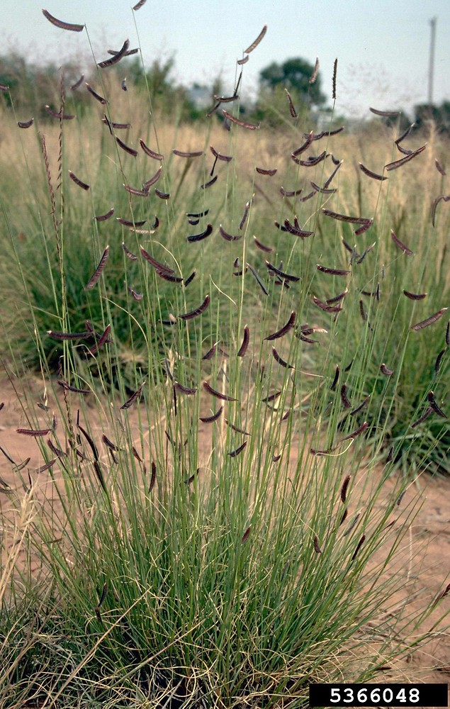
B. gracilis

So far, our daily tasks have consisted of collecting aerial cover and stem count data within quadrats. This involves first identifying every species in the quadrat, estimating the area covered by each species when seen from above, and then counting the number of stems per species in a smaller quadrat.
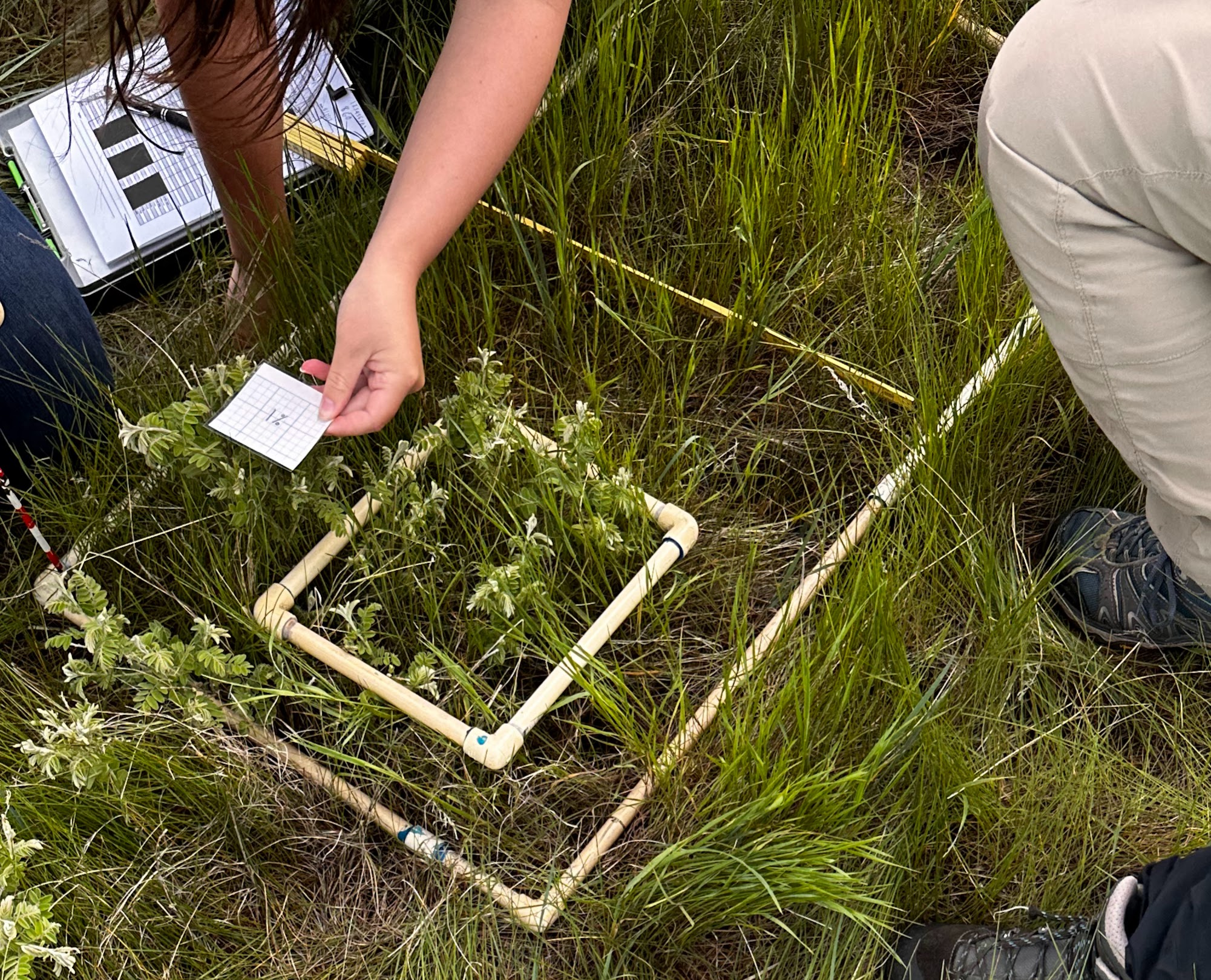
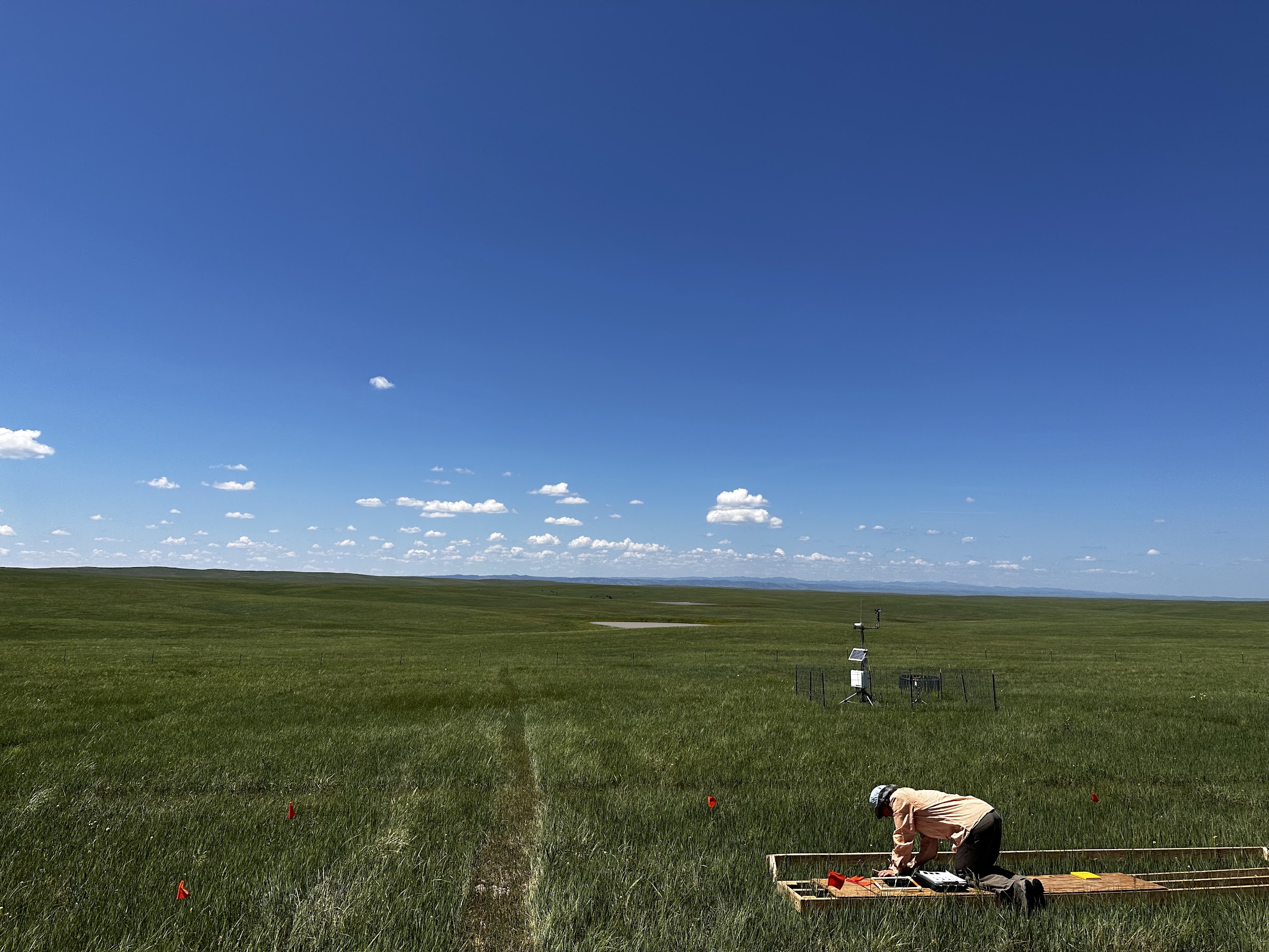
Practicing aerial cover estimation. The smaller quadrat represents 10% of the larger quadrat and the paper square is 1%.
When collecting data, boardwalks are used to prevent trampling in the plots.

So far, I have had a great time. Every day I learn new species and deepen my familiarity with those I already know well. I never imagined I would be able to go on a hike with my friends and not only annoy them by identifying all the cool flowers but all the grasses too! As the summer continues I am excited to continue my training as a grass wizard and learn more about other cool projects going on in the area.
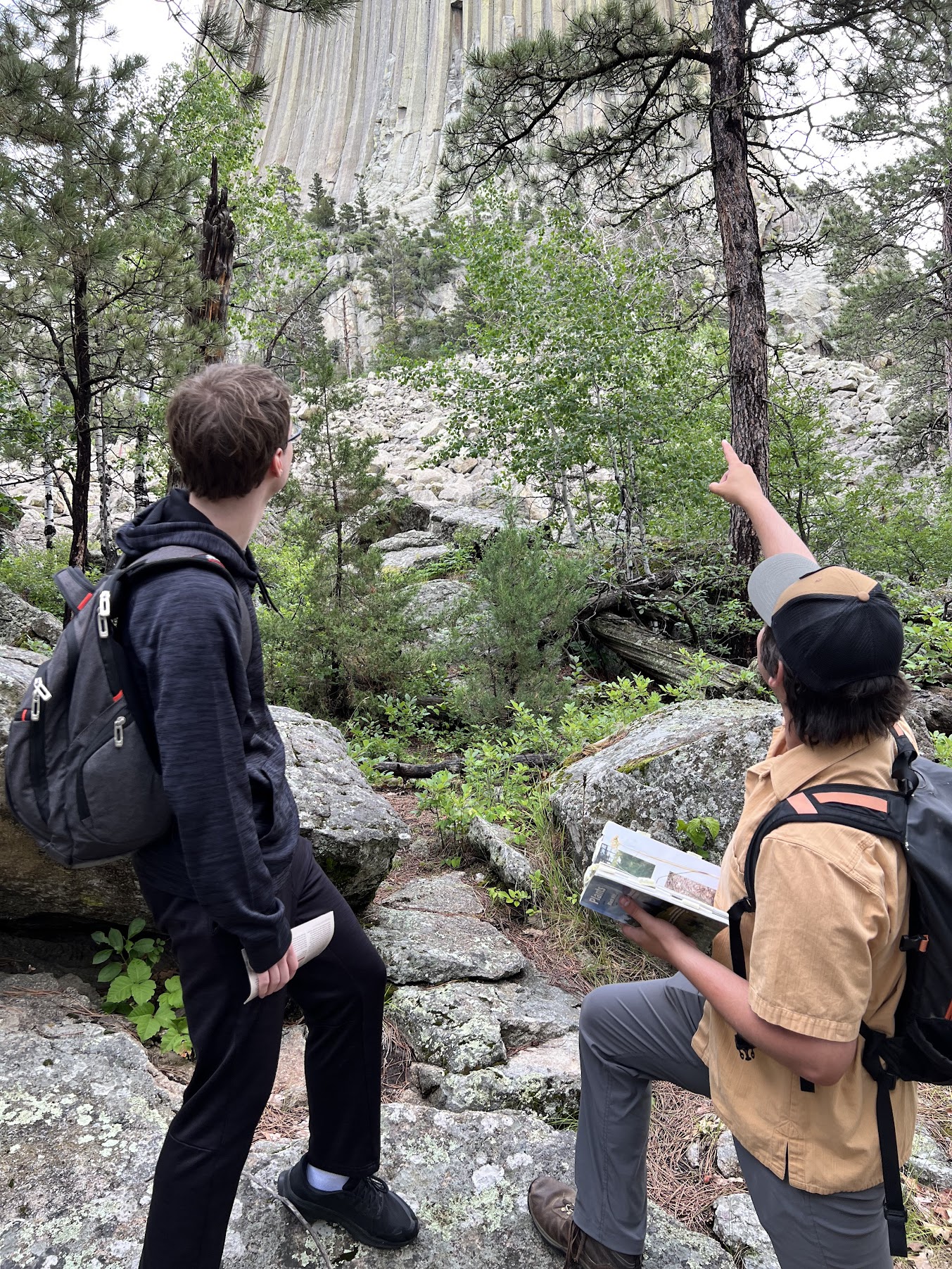
Attempting to convince a friend that Devils Tower is actually a really big tree (He didn’t buy it)

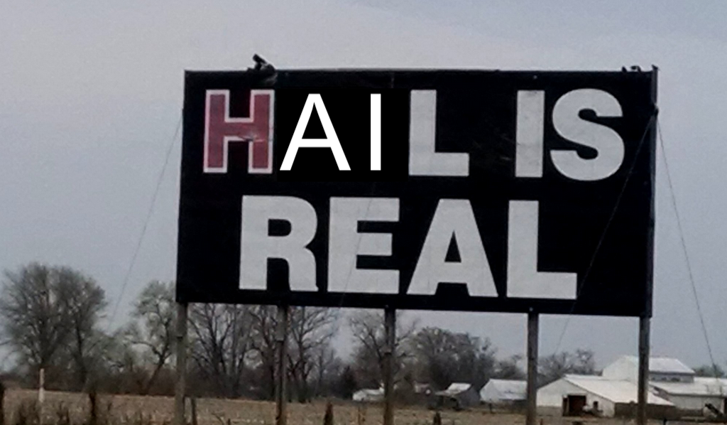
Hail Is Real

We all knew it was coming, but we hoped we were wrong.

The field season started smoothly, and the Buffalo Gap National Grasslands of South Dakota welcomed me with open arms. After a week of training, we started field work, and I learned the basics of aerial cover and stem counting so that we could begin data collection. Some of the plots at each site are covered by rainout shelters which simulate drought for the grasses under the shelters. This will become relevant in a bit.

For those who haven’t had the honor and privilege of performing aerial cover and stem count surveys, I will explain. For an aerial cover survey, you place a 50×100 cm quadrat onto an area of grass and make note of every species of plant within the quadrat. Most of the plants are grasses and forbs, from everyone’s favorite, Bromus arvenis (field brome), to old reliable Pascopyrum smithii (western wheatgrass), to the sneaky Erysimum repandum (bushy wallflower).

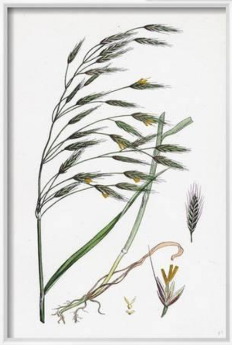
Bromus arvensis, my beloved

Stem counting involves putting down a 20×25 cm quadrat and counting every stem coming out of the ground. This may sound like a dreary task, but it’s actually incredibly meditative and has become my favorite part of the field day. Love it or hate it, I can promise you will never look at a patch of Bouteloua gracilis the same after stem counting.

But I digress. The first few weeks were going smoothly. The weather was beautiful, the fields grassy, and, aside from the occasional cactus spine and mosquito bite, it was everything a technician could hope for in a field season. Then the rains came.

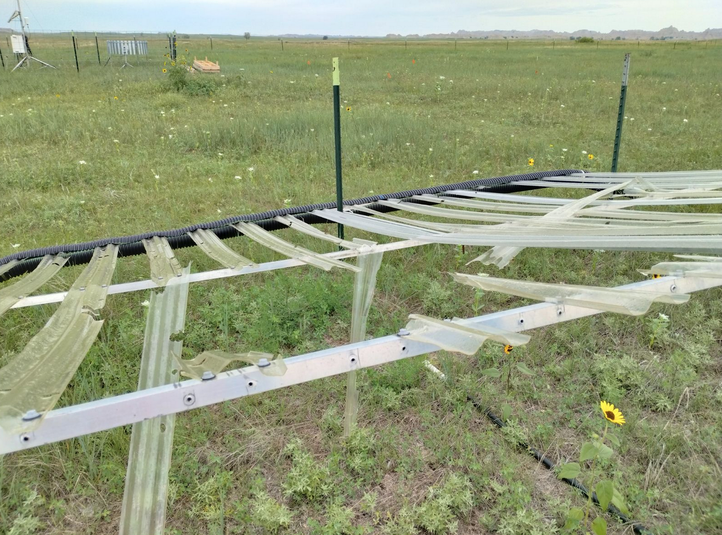
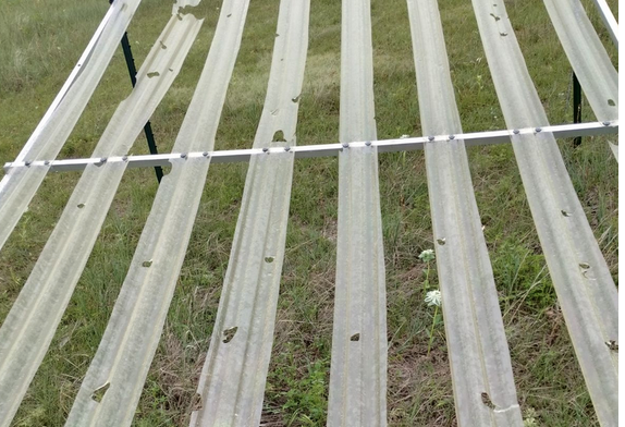
I suppose there had technically been rains the whole time. There were occasional thunderstorms, often accompanied by hail, but they didn’t tend to fall during fieldwork hours. But on the fateful evening of June 25th, our Cedar Pass field site got a hailstorm like no other. When we got to the site on Monday morning, we saw that many of the rainout shelters had become swiss cheese. Some of the shingles had fully broken. Out of 70+ shingles, only 29 were undamaged. The rest needed to be replaced. This was worrying because we were in crunch mode and were trying to finish aerial cover measurements on the plots as soon as possible while still producing quality data. But the broken shelters needed to be replaced.

Fortunately, an angel in the form of Jeff Synstad came to help us in our time of need. Having one extra person on the team to fix the shelters gave us the manpower we needed to get our work done for the day. I’m looking forward to another exciting day tomorrow.

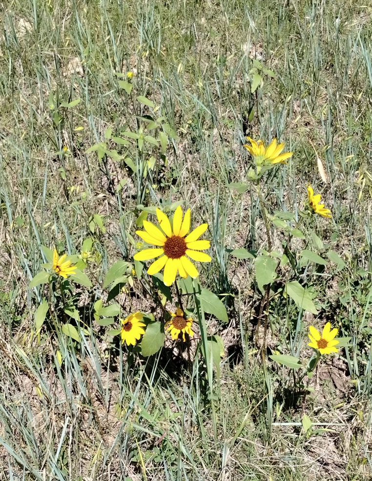
Until next month. Here’s a picture of a sunflower to tide you over:

Vibing in the Southwest

After spending months living in quarantine in Los Angeles, California, I eagerly anticipated starting my internship with the Lincoln National Forest this summer in Alamogordo, New Mexico. As I made my drive out east from LA, I watched the landscape transition from dense urban development, to Saguaro cactus-filled Sonoran Desert, to the more desolate scrub of the Chihuahuan Desert. The Sacramento Mountains finally came into view; a joyous sight after hundreds of miles of desert scrub. I had finally arrived.

Natasha Khanna-Dang enjoying the desert.

Alamogordo is a medium-sized town bordering Texas and is about an hour and a half drive from the Mexican border. This region of the Southwest lies on the traditional and unceded territories of the Apache people. The Mescalero Apache Nation, who still live on a fraction of their ancestral lands, have their reservation on a large section of the Sacramento Mountain Range.

Mescalero Apache camp in the late 1800s in what is now the Lincoln National Forest.

My fellow intern Ashlyn Lythgoe and I will be spending the summer conducting surveys in sections of the Lincoln National Forest that have never been surveyed for rare plants. The data we collect will provide baseline information for large scale restoration, forest thinning, and seed banking projects. The data will also be used by the U.S. Forest Service Rocky Mountain Research Station for creating a habitat suitability model. One of the goals of the model will be to develop habitat suitability analysis for identifying exact habitats for endangered, threatened, and regionally sensitive rare plant species.

We are still in the initial stages of our surveys. Unlike other parts of the country, New Mexico, and sections of the Southwest experience summer monsoons. As a result, the flowering season here will start in July and goes on till the end of September. In the meantime, we have been brushing up on our botany skills and assisting the Natural Resources crew a riparian restoration project.

Building one rock dams in order t0 restore a riparian zone that was severely impacted by an unauthorized road and a forest fire. Left to Right: Joseph Ure, Ashlyn Lithgow, and Jennifer Hickman. Photo credit: Shelby Manford.

As a newbie to the Southwest, I was surprised to see the large range in ecotones which includes scrub in the desert floor, grasslands and meadows, ponderosa pine that transitions to mix coniferous forests at higher altitudes, and a bit of subalpine forest habitat.

A juvenile Northern Flicker eagerly waiting to be fed.